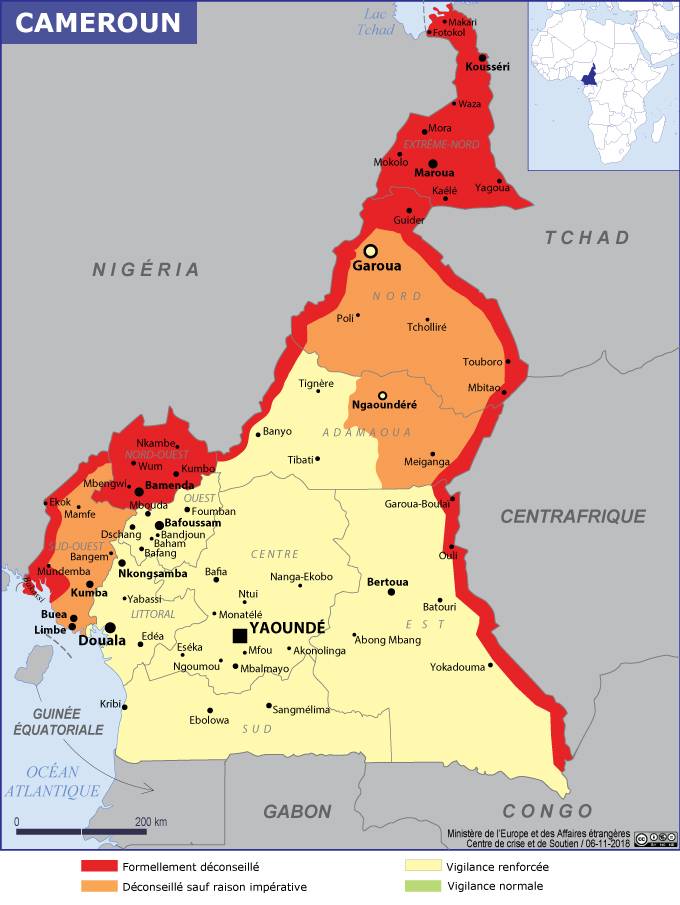
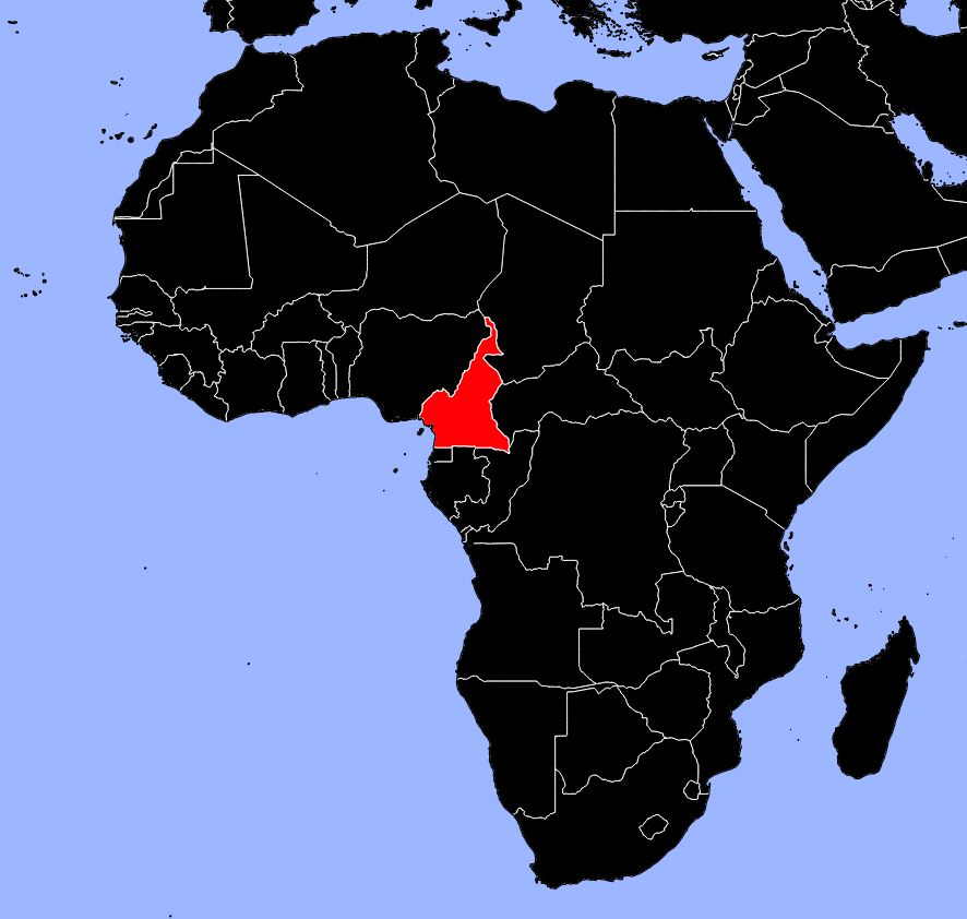
In this article you will discover a map of Cameroon. The country is one of the 17 African nations that gained independence in 1960. This triangular-shaped country lies on the Gulf of Guinea in the Atlantic Ocean and covers an area of 475,440 square kilometers.
It is bordered by Nigeria, Gabon, Equatorial Guinea, Chad, the Central African Republic, and Congo.
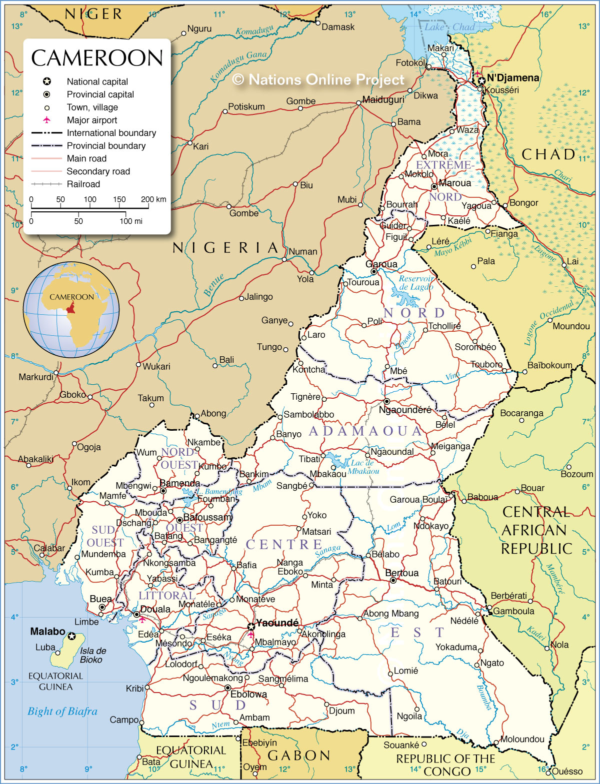
Geography with the map of Cameroon
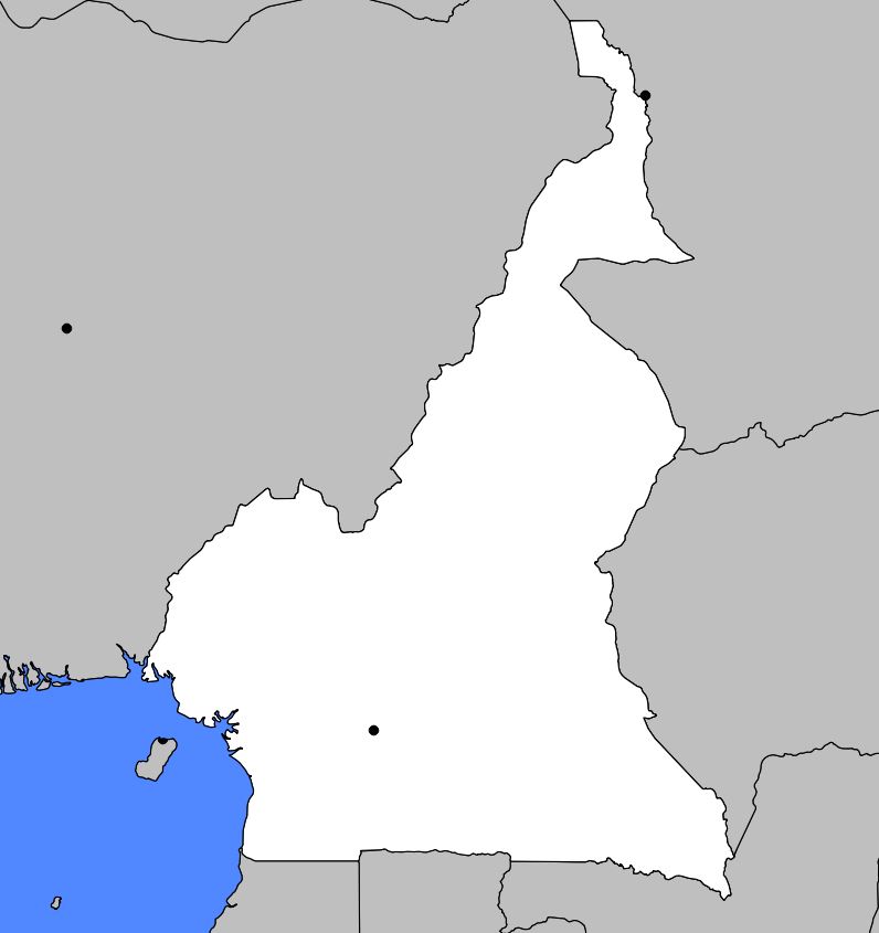
Arable land represents only 15% of the territory, while forests cover more than half of the total area. Cameroon has significant deposits of iron, aluminum, bauxite, asbestos, uranium, and gold. The Sanaga and the Benue are the two main rivers, which can easily be located on the map of Cameroon. The Sanaga drains the southwest of the country before flowing into the Atlantic Ocean. The Benue crosses western Cameroon and then joins the Niger Basin in Nigeria. It is navigable only during part of the year.
Cameroon can be divided into four distinct topographical regions. From the Sanaga River (see the map of Cameroon), the southern part of the country consists of vast coastal plains as well as a plateau covered with dense forest vegetation. The Central region includes all territories located between the Sanaga and the Benue. Its altitude gradually increases as one moves northward. Western Cameroon is mainly mountainous, while in the north, where savanna vegetation grows, the altitude steadily decreases as one approaches Lake Chad.
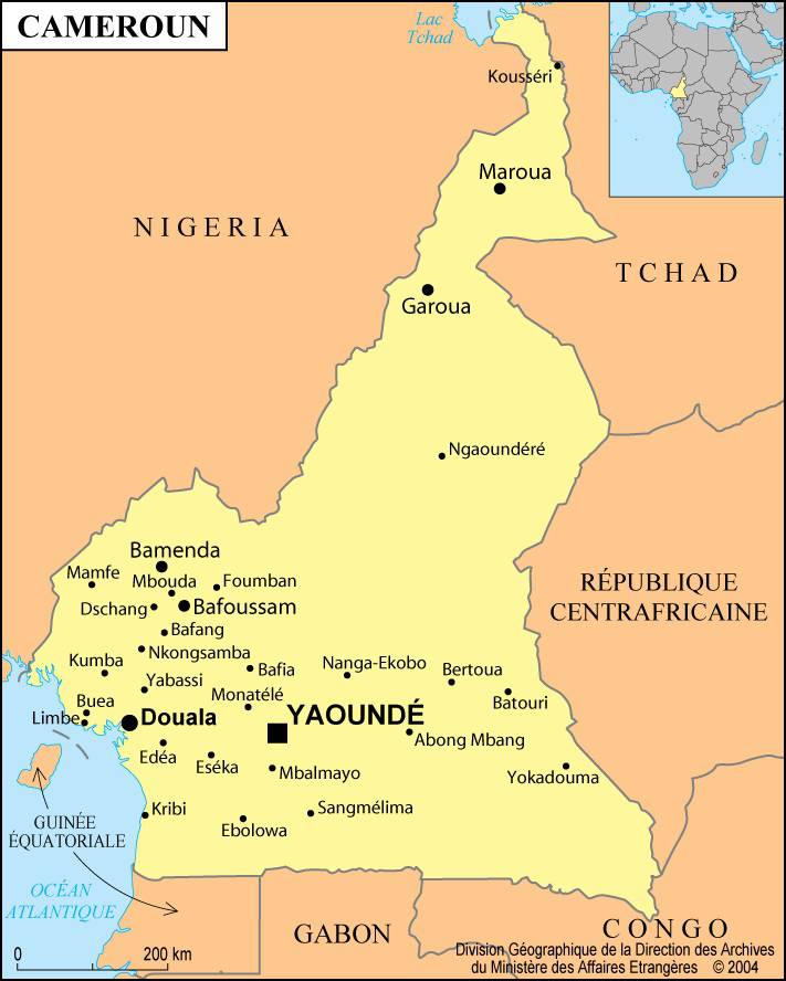
The climate remains warm throughout the year. Average annual temperatures range between 21°C and 28°C. Annual rainfall is heavier in the south and can reach nearly 380 centimeters. The capital city is Yaoundé (as can be seen on the map of Cameroon).
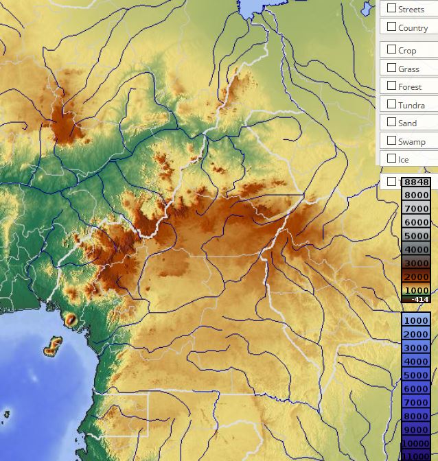
In the south, the hot and humid climate explains the presence of dense tropical rainforests where mahogany and ebony trees grow abundantly. The forests of the central region are characterized by mixed vegetation composed of both deciduous and evergreen trees. In the north, wooded savanna areas are predominant. Wildlife mainly includes buffalo, elephants, hippopotamuses, antelopes, and many species of birds.
Economy
Since proclaiming its independence in 1960, Cameroon has experienced strong economic growth based mainly on the development of the agricultural sector. Agriculture accounts for nearly one third of the gross national product and employs more than 80% of the workforce. Maize, beans, peanuts, millet, sorghum, rubber, and palm oil are among the leading crops.
Timber production is currently expanding rapidly, and more than half of the logs are exported. The production of wood-derived products for export has increased significantly since the establishment of a pulp mill in 1980.
Cameroonian industry is dominated by the processing of raw materials. The country has several aluminum plants, a pulp mill, a tire factory, a tannery, an oil refinery, and an industrial complex specialized in fertilizer production.
France, the United States, the Netherlands, and Germany are among Cameroon’s main trading partners. Its economy depends heavily on foreign trade, as most manufactured goods and raw materials are imported. The transport of goods and passengers is carried out by river or by rail. The main airport is located in Douala (see the city’s location on the map of Cameroon).
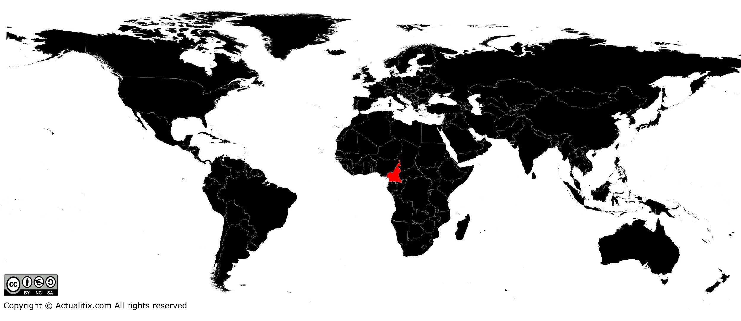
Cameroon on a world map – Credit Actualitix[/caption>
You can discover all the maps available for the different countries of the world on this page.
