In this article you will find a map of Kazakhstan. The Kazakhs are a Muslim people originating from Central Asia. In the 19th century, they experienced the Russian invasion, and the country later became the second-largest republic of the Soviet Union by area.
After gaining independence in 1991, Kazakhstan retained a significant Russian population.
Geography with the map of Kazakhstan
The country covers an area of 2.7 million square kilometers and stretches 1,900 kilometers from west to east. The northern part of the country is covered with marshlands, while the center and east are mainly desert (as can be seen on the relief map of Kazakhstan). Kazakhstan is crossed by the Irtysh River, which flows toward Siberia; the Ili River, which flows into Lake Balkhash; and the Syr Darya, which crosses the desert toward the Aral Sea. The Ural and Emba rivers flow into the Caspian Sea. These features can be seen on the map of Kazakhstan.
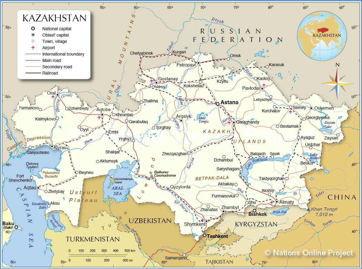
Map of Kazakhstan – Credit: Nations Online
The climate is continental: summers are mild and winters are cold. Average temperatures range between 21°C and 27°C in July and between -7°C and -18°C in January. Annual rainfall in the north is less than 38 centimeters, and less than 20 centimeters in the south.
Population
The Kazakhs are a Turkic-speaking people who were traditionally nomadic, living in the northern marshlands during the summer and in the southern grasslands during the winter. After the Soviet invasion in the 1930s, most of the population abandoned the nomadic lifestyle to work in agriculture or industry.
Russians make up about 36% of the total population (17,209,000 inhabitants), and Kazakhs 44%. There are also German and Ukrainian minorities.
The culture, rooted in oral tradition, consists mainly of tales and poems. The capital, Alma-Ata, the country’s main cultural center, is home to theaters, museums, libraries, a university, and technical institutes.
Natural resources
Agriculture underwent a major transformation when the Soviets established collective and state farms in the 1930s. In the 1950s, Russian immigrants arrived to cultivate the northern marshlands. The region became a major grain producer. The south produces cotton, fruits, and vegetables.
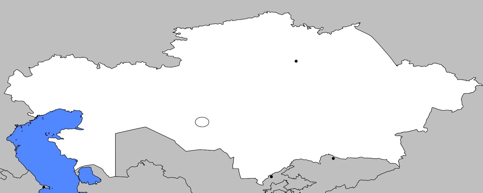
Blank map of Kazakhstan
Kazakhstan has significant natural resources, including coal, oil, natural gas, iron, copper, manganese, chromium, lead, zinc, bauxite, and gold. The main industries are metallurgy and chemicals. Electricity is generated by hydroelectric plants located on the Irtysh River, as well as coal-fired power stations.
The road and rail networks are very sparse. The Trans-Siberian Railway passes through Karaganda and Alma-Ata. A second line connects Alma-Ata with western Siberia, and a third links Gouriev (visible on the map of Kazakhstan), the country’s main port on the Caspian Sea, with the Ural region.
The densest rail network, located in the north of the country, is mainly used for transporting grain. Since the road network is poorly developed, a large part of the goods is transported by train. There are two airports, in Alma-Ata and Aktioubinsk.
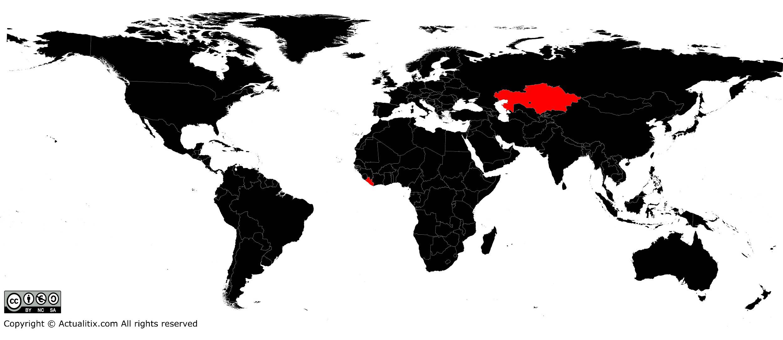
Kazakhstan on the world map
