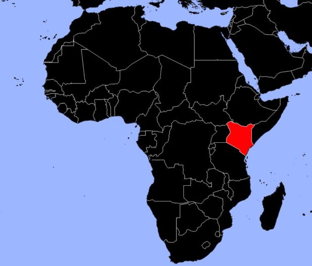
As can be seen on the map of Kenya, the country is located on the eastern coast of Africa and is crossed by the Equator. It is famous for the beauty of its landscapes and the variety of its wildlife and flora.
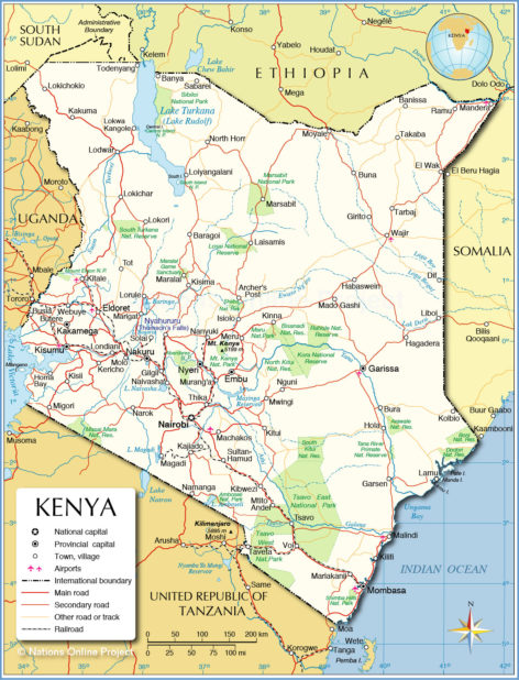
Map of Kenya – Credit: Nations Online
Although only 20% of the land is arable, the majority of the population depends on agriculture. Kenya mainly exports coffee and tea, which, along with tourism, are the country’s main sources of foreign currency. The country imports all of its oil and a large portion of its manufactured goods.
Geography with the map of Kenya
Kenya experiences two dry seasons (from March to May and from November to January) and two rainy seasons. The highlands are the wettest region of the country, while the desert plains of the north receive very little rainfall. Kenya has experienced severe droughts, particularly in 1960, 1961, 1972, and 1976, with harmful consequences for agriculture and livestock.
Kenya map – Credit: Ministry of Foreign Affairs
Four major geographical zones can be distinguished on the map of Kenya: the highlands, the semi-arid plains, the deserts, and the coastal belt along the Indian Ocean.
The Highlands
The western highlands, which represent less than 25% of Kenya’s total area, rise more than 1,500 meters above sea level. They are crossed by the Great Rift Valley. The highest point is Mount Kenya, which reaches 5,199 meters.
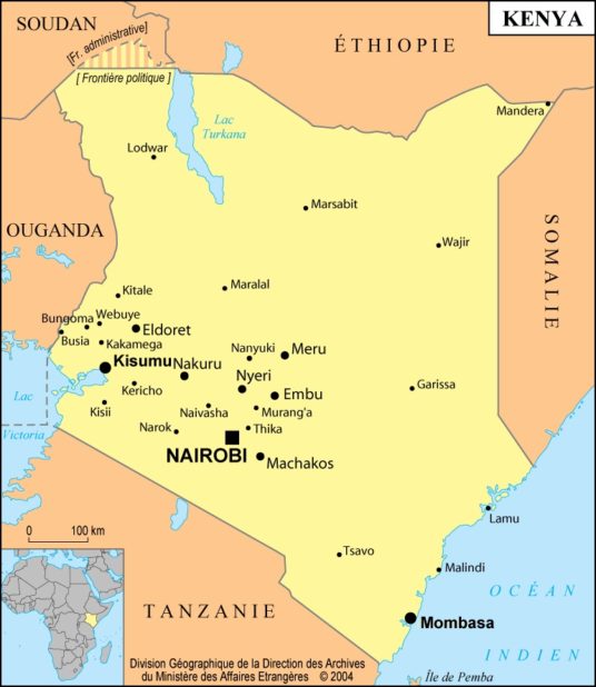
Map of Kenya cities – Credit: Ministry of Foreign Affairs
Since the highlands are the only region with sufficient rainfall for cultivation, most of the population lives there. Much of the forest has been cleared to make way for farmland. The remaining forests have been turned into national parks to protect the wildlife they host.
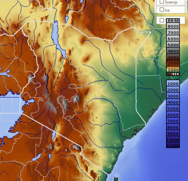
Relief map of Kenya – Image extracted from maps-for-free
The Semi-Arid Plains
These regions, which cover a large part of the territory, receive between 380 and 760 millimeters of rain annually—an amount insufficient for widespread farming. Cultivation is therefore limited to riverbanks and marshy areas. However, people from the overcrowded highlands are increasingly moving to these plains in search of farmland. Formerly nomadic populations are gradually becoming more settled.
The main economic activities are livestock farming and tourism. The Maasai, in particular, raise cattle, goats, and sheep.
These regions are home to various wildlife species, including gazelles, zebras, wildebeest, antelopes, elephants, buffaloes, and rhinoceroses, as well as predators such as lions, cheetahs, and leopards.
Kenya map Africa – Credit: Actualitix
The Deserts
The north of the country is covered by deserts, as shown on the map of Kenya, with sparse vegetation consisting of hardy grasses and a few shrubs. These areas are sparsely populated, but some nomadic tribes, such as the Somali and the Gabbra, raise camels and goats there. Lake Turkana, which extends to the Ethiopian border, supports a small fishing industry. Archaeologists have found on its shores the remains of some of the earliest pre-humans, dating back 4 to 5 million years.
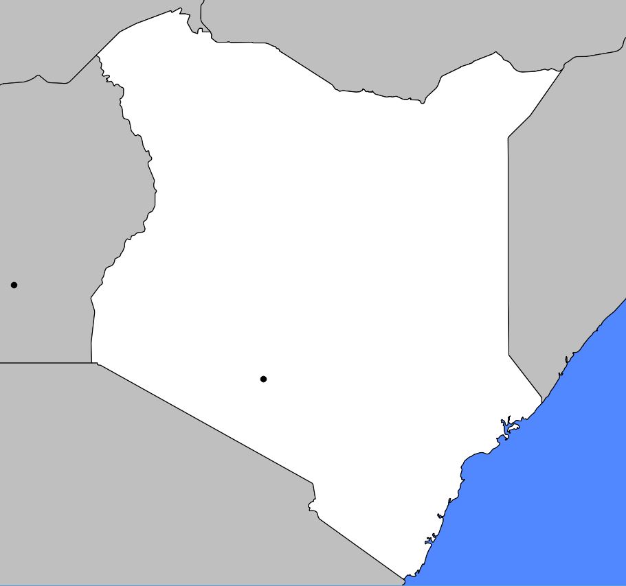
Blank map of Kenya
The Coast
A narrow strip of land, 16 to 24 kilometers wide, separates the Indian Ocean from the country’s interior. Relatively heavy rainfall (about 1,000 millimeters per year) favors the cultivation of coconut and cashew trees.
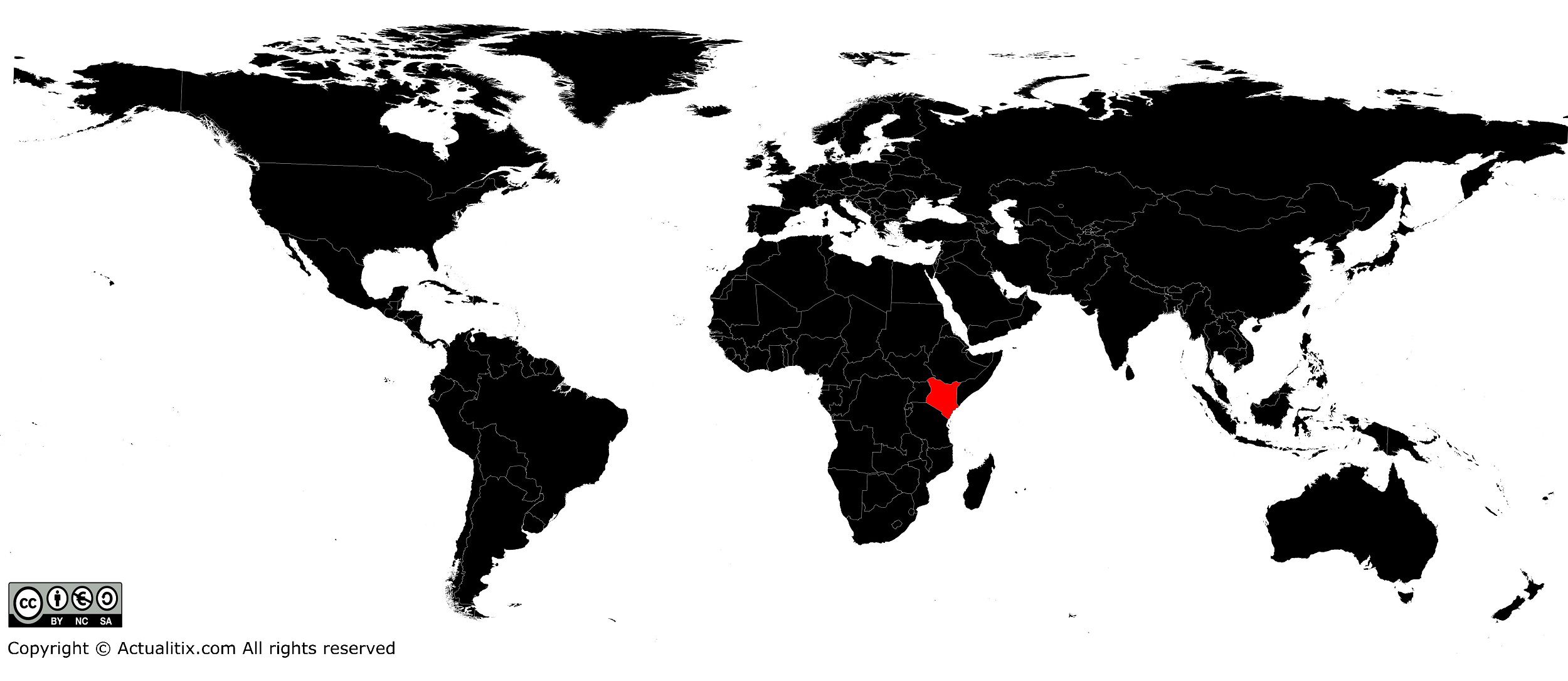
Kenya on the world map
The coast is home to the city of Mombasa (visible on the map of Kenya), which is the country’s main port and features modern facilities, an oil refinery, and light industries. Mombasa also serves as a port for Uganda, Rwanda, and Burundi. Lined with beautiful white sandy beaches and numerous hotels, the coast is very popular with tourists.
You can discover all the available maps for different countries of the world on this page.
