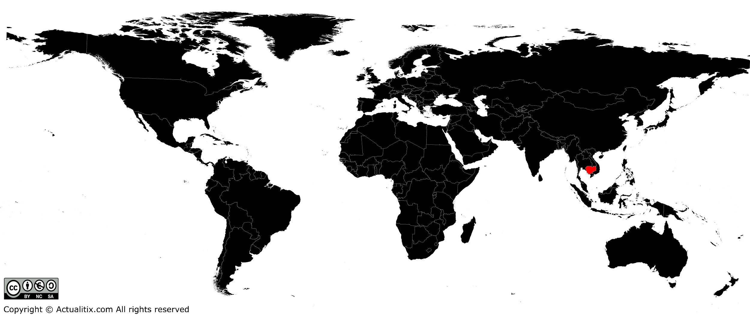
In this article you will find a map of Cambodia. The country is located in Southeast Asia, in the southwestern part of the Indochina Peninsula. The transcription of its traditional Khmer name gave “Cambodia” or “Kampuchea”.
Both names are used to refer to the country, although the first is the most common.
Table of contents
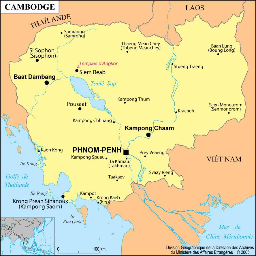
Geography with the map of Cambodia
The area of Cambodia is 181,040 square kilometers. The center of the country is characterized by a depression. As can be seen on the map of Cambodia, its altitude gradually increases from the Gulf of Thailand as one moves inland and eventually forms the Dangrek Mountains in the north.
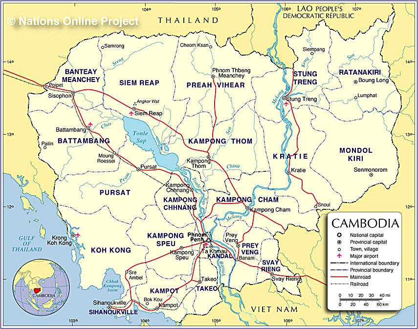
The Cardamom Mountains rise in the southwest of the country. They are home to Cambodia’s highest peak, Phnom Aural, which reaches 1,813 meters above sea level. In the west, a low mountain range separates Cambodia from Thailand. After crossing Laos, the Mekong flows southward through eastern Cambodia.
Tonlé Sap, whose name means “Great Lake”, lies almost in the middle of the depression occupying the interior of the country. It acts as a natural reservoir for Mekong floods. From November to late April, its surface area does not exceed 2,600 square kilometers and its depth reaches only 1.5 meters.
However, from July to late October, its area increases considerably to around 26,000 square kilometers, and its depth reaches about 14 meters. During this period, the Mekong is in flood and carries the waters of the Tonlé Sap River toward the lake of the same name.
Climate and nature
Cambodia has a tropical climate. In the central plains, temperatures rarely fall below 27°C. The rainy season coincides with the summer monsoon from May to October.
During this season, rainfall ranges between 130 and 200 centimeters in the central plains but is twice as high in the mountainous areas of the southwest.
Three quarters of the territory are covered with tropical evergreen forests. Grasslands, pastures and agriculture occupy about one fifth of the total area. In regions lacking waterways, soil erosion is significant and soils are generally sandy and not very fertile. Floodplains, however, are characterized by narrow strips of fertile land formed by river alluvium.
The banks of the Tonlé Sap and the Mekong are flooded every year and are therefore very fertile, as the soil is constantly renewed by new deposits of silt during flood periods. Cambodian wildlife mainly includes monkeys, buffalo, elephants, tigers, panthers, leopards, crocodiles, pheasants, civets and many birds typical of the jungle.

History
In 1970, the government decided to stop using the name Cambodia, considered too colonial, and renamed the country Kampuchea. Nineteen years later, the country was renamed Cambodia again. It was once part of the powerful Khmer Empire, which controlled most of Southeast Asia from the 9th to the 15th century. From 1857 to 1953, Cambodia was part of French Indochina.
Cambodia gained full independence in 1953. The 1970s were marked by violent political conflicts between rival factions seeking power. One of them, supported by China, seized the government in 1975. With the help of Vietnam, this regime was overthrown in 1979 by its opponents, who ruled the country for the following decade.
You can discover all available maps for different countries of the world on this page.
