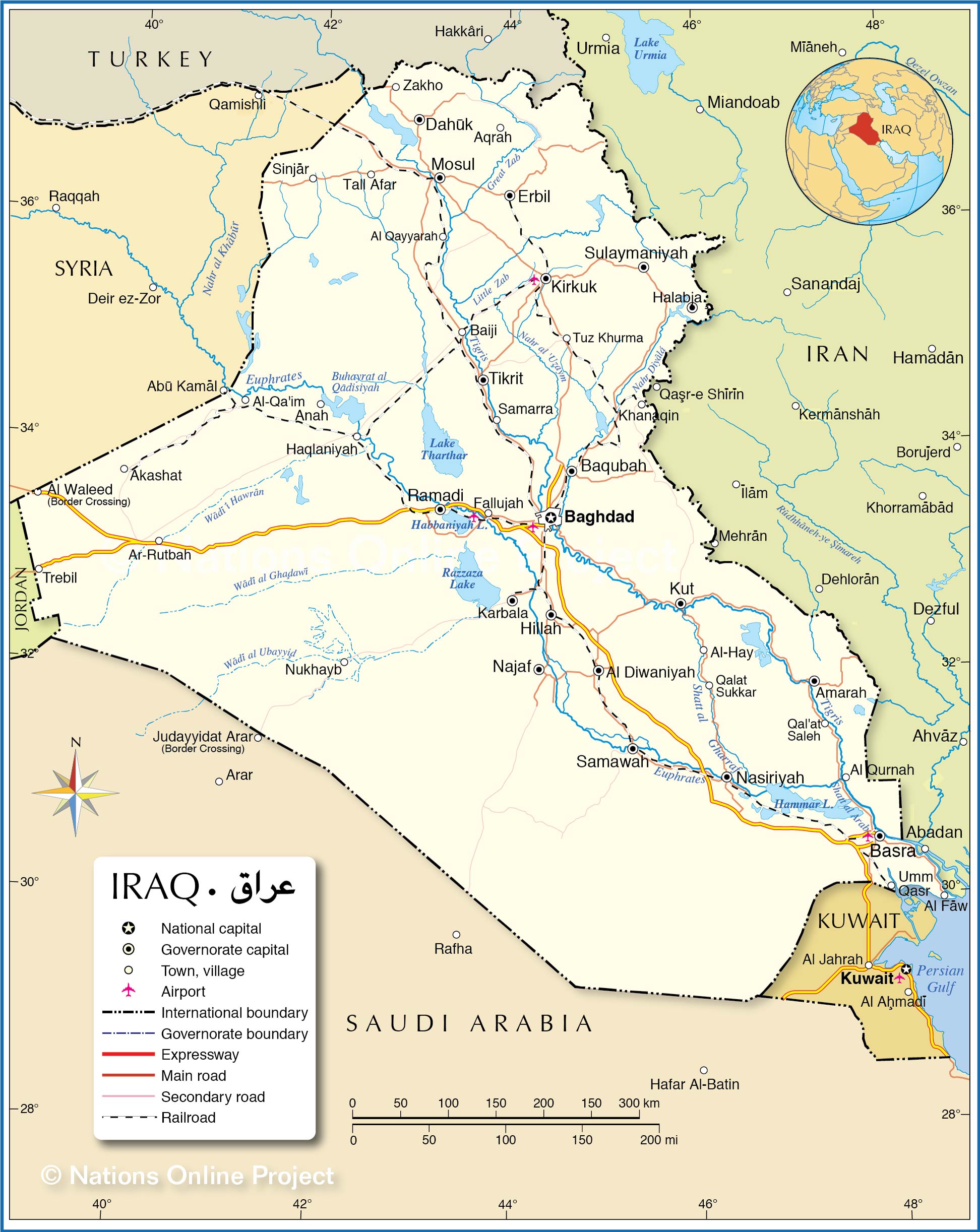
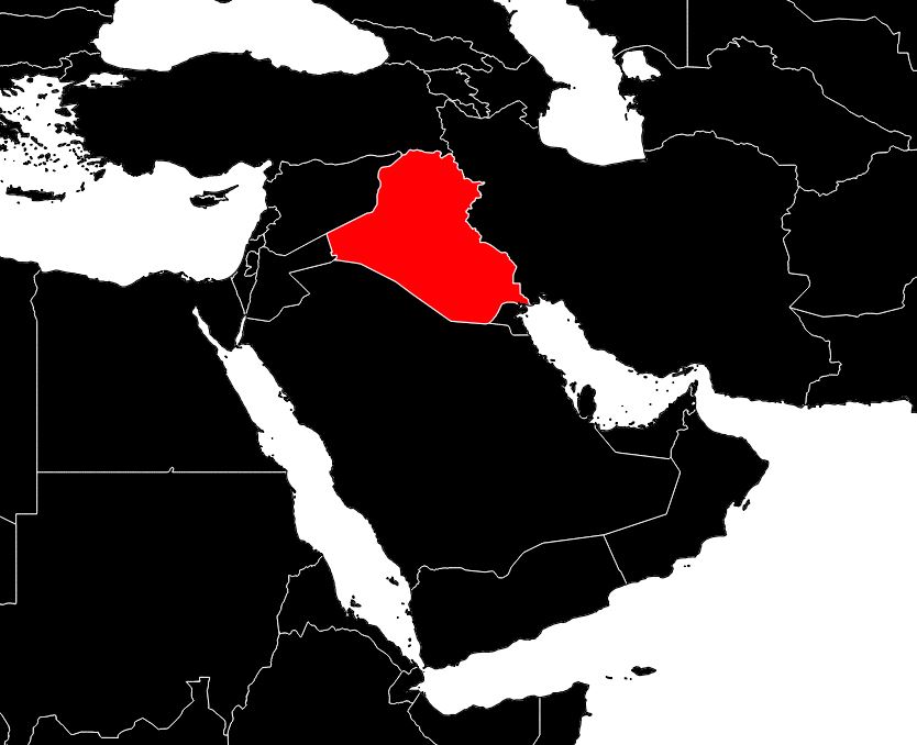
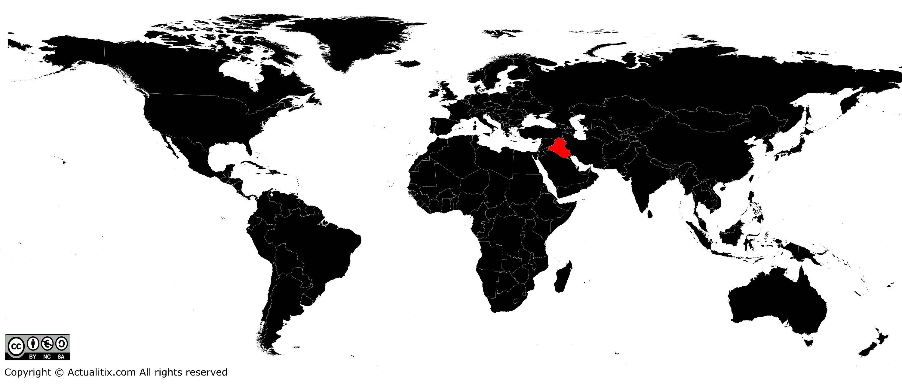
In this article you will find a map of Iraq. The country was once called Mesopotamia, a Greek word meaning “the land between the rivers.” Iraq is bordered on one side by the Tigris and on the other by the Euphrates, in a fertile region considered the cradle of civilization, with a history dating back more than 5,000 years. Today, the Republic of Iraq, located along the Persian Gulf, is one of the leading oil producers.
Geography with the map of Iraq
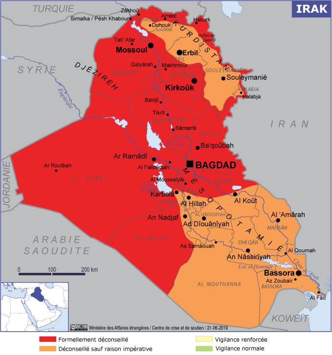
As you can see on the map of Iraq, the country is bordered by Turkey to the north, Iran to the east, the Persian Gulf to the southeast, Kuwait and Saudi Arabia to the south, and Jordan and Syria to the west. Its total area is 437,072 square kilometers.
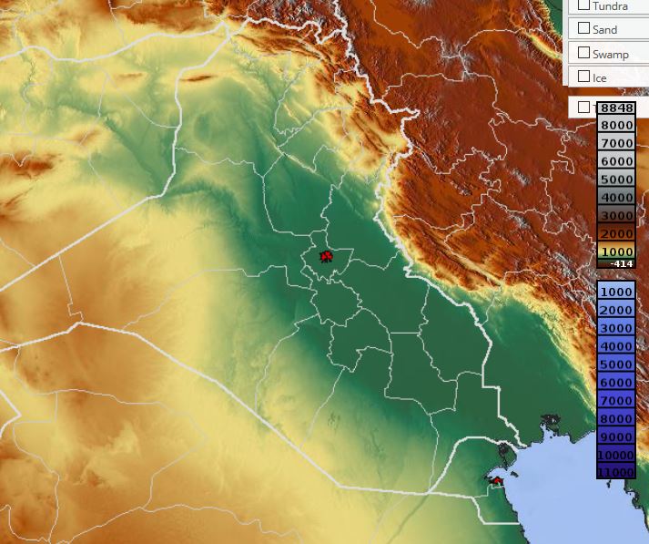
The country is mainly composed of plains that rarely exceed 90 meters in elevation. The hills in the northeast rise toward the Zagros Mountains, which stretch along the Iranian border and reach an altitude of 3,658 meters at Rawanduz.

To the south and southwest lies a desert steppe, easily identifiable on the map of Iraq, shared with Kuwait, Saudi Arabia, and Jordan. The northeastern region is an extension of the Syrian Desert. A marshy plain, covered with palm trees and reeds, surrounds the Shatt al-Arab and the confluence of the Tigris and Euphrates south of Al Qurna. The climate is highly variable.
Plants and animals
Iraq is home to more than 36 million date palms. Licorice also grows there and has traditionally been used by Iraqis as fuel. The country produces barley, wheat, watermelons, tomatoes, dates, grapes, cucumbers, and oranges.
Iraq is home to many wild species, including gazelles, jackals, foxes, rabbits, ducks, herons, snipes, and partridges. Rural inhabitants raise sheep, goats, and cattle.
Population in Iraq
Iraq has about 36 million inhabitants, of whom 77% are Arabs and 19% are Kurds, along with Turkmen, Persian, and Assyrian minorities. The vast majority of the population is Muslim, including 62% Shiites and 34% Sunnis, while only about 3% of Iraqis are Christian.

Most inhabitants live in urban areas, particularly in Baghdad (see its location on the map of Iraq), the capital and largest city of the country. In recent years, major urban centers have experienced a massive influx of rural populations, placing heavy pressure on social resources and increasing unemployment, especially among men aged 20 to 25.
The Kurds, settled in the north and northwest of Mosul, are Muslims and share the religious heritage of the Arab population. However, they have a distinct history and speak Kurdish, an Indo-Iranian language rather than a Semitic one. Seeking to assert their cultural identity, they demand cultural and political autonomy and have been harshly repressed by the government.
A bit of history
Before the creation of the State of Israel in 1948, Jewish merchants dominated much of the commercial transactions in Basra and Baghdad, often in partnership with Muslim traders. Today, a large part of the Jewish population has emigrated to Israel, the United States, and Europe, and very few Jews still live in Iraq.
The rural population traditionally follows a tribal structure. Most have lived in the same place for two or three generations, cultivating land or raising livestock. The number of nomadic herders has declined significantly due to social programs introduced by the government since 1958. Traditional Arab values predominate in rural areas, while the urban population has adopted a more Western lifestyle.
Nevertheless, whether in urban or rural areas, Islam plays a central role in the daily life of Iraqis. They attend the mosque every Friday and strictly observe religious holidays.
You can discover all the available maps for the different countries of the world on this page.
