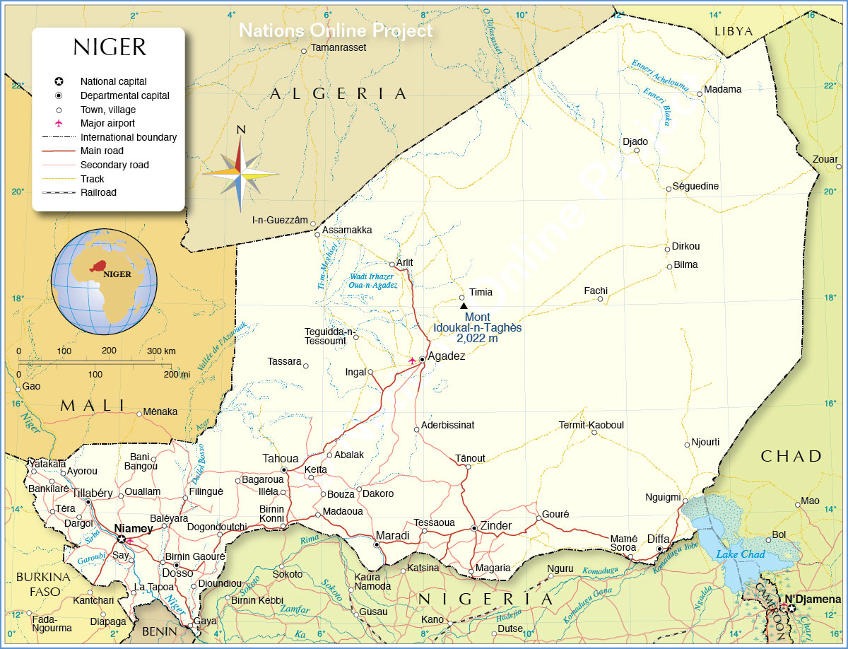
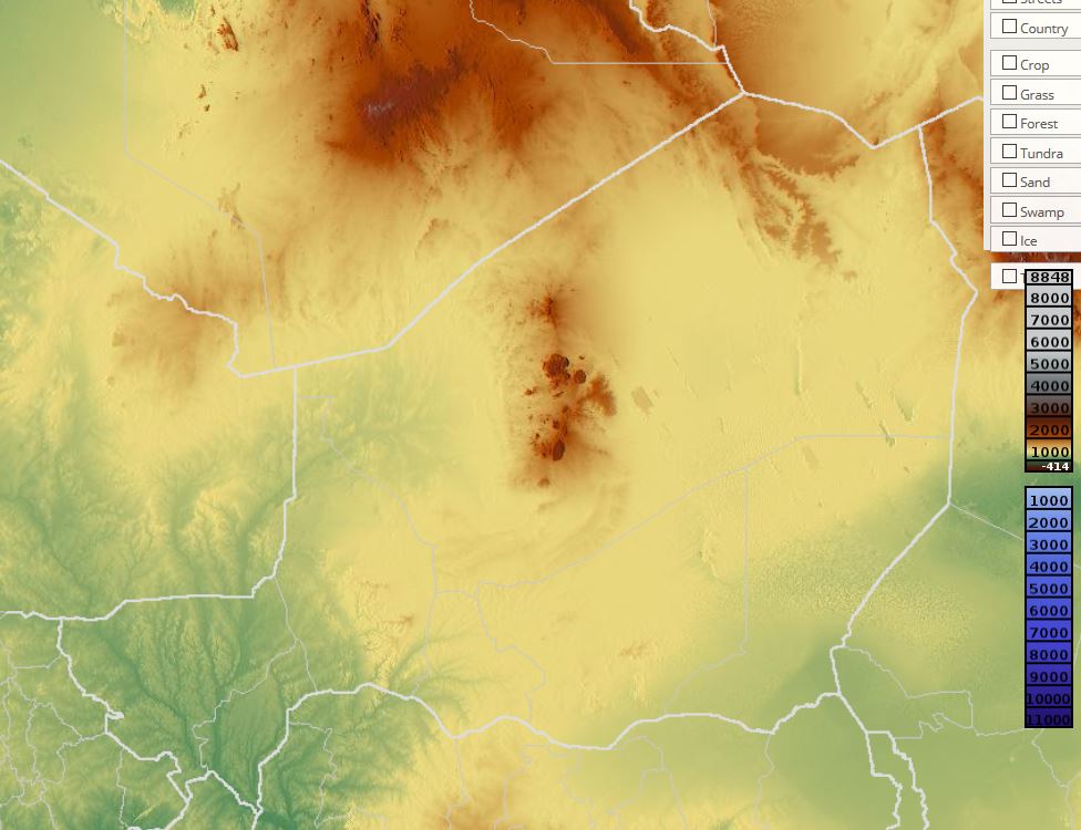
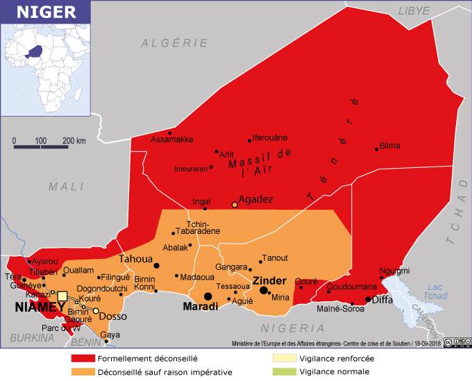
In this article you will find a map of Niger. The northern half of the country is a desert with only a few scattered trees and sparse grass. Tree and grass density increases toward the south, where rainfall allows the development of savanna-type vegetation.
However, due to population growth, vegetation has significantly declined. This, combined with the effects of drought, has contributed to creating potential desertification conditions.
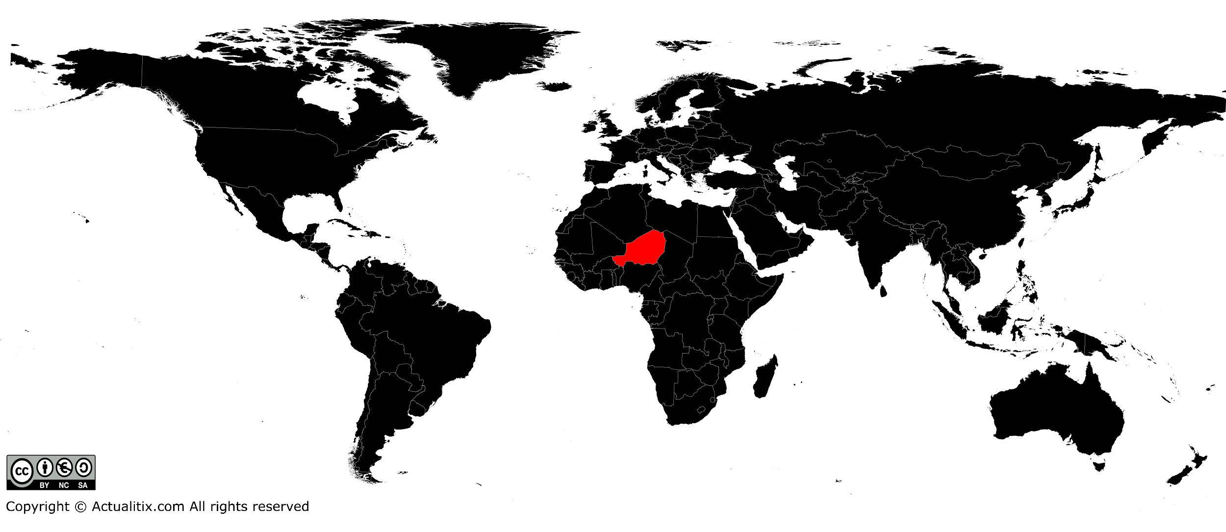
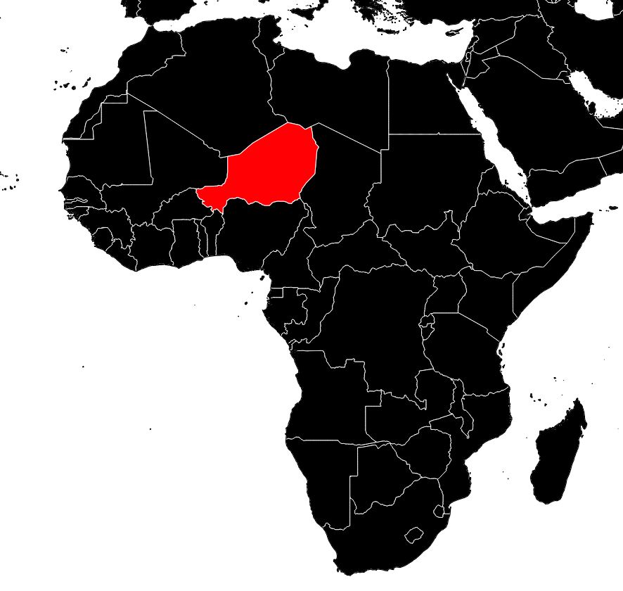
Learn more with the map of Niger
In 2016, the population was estimated at 20 million inhabitants. More than 80% of the population lives in rural areas. In the south, where rainfall is sufficient to support agriculture, most inhabitants are farmers. In this region, population density can reach 250 inhabitants per square kilometer. Few people live in the dry northern regions (see the map of Niger for geography).
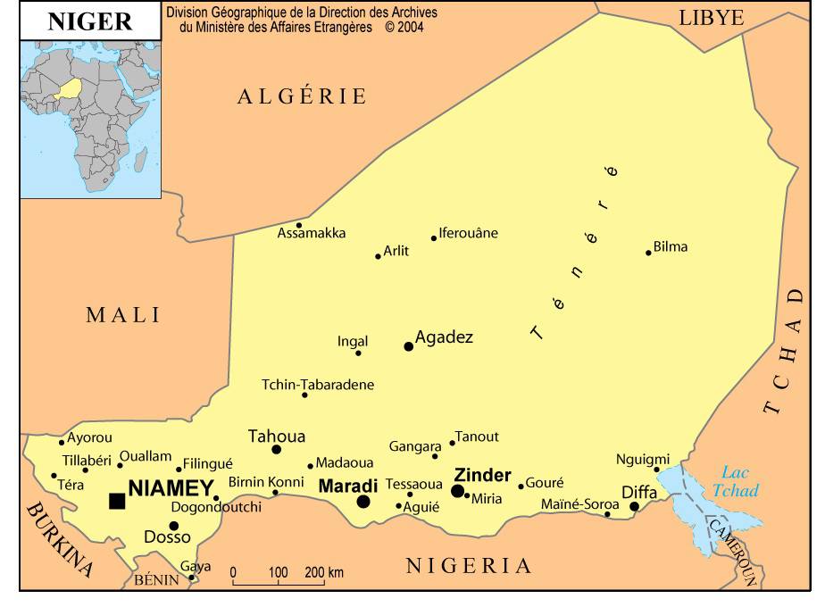
Most are nomadic herders, miners, and residents of market towns such as Agadez. Many Nigeriens moved to urban centers when production declined due to drought. Niamey is the capital of Niger and can be seen on the map of Niger.
The official language is French, but many inhabitants use the languages of their ethnic groups in daily life. The main ethnic groups are the Hausa, Djerma, Tuareg and Fulani. Niger has made significant efforts in education. Higher education is available at the University of Niamey, and many Nigeriens study abroad.
Economy of the country
Niger is one of the poorest nations in the world. Despite ongoing government efforts to boost agricultural production and develop uranium mining, the country’s gross national product has declined rapidly. Agriculture is the main activity and involves 90% of the population, but it is limited to certain regions.
After the droughts of 1968 and 1974, the government implemented policies aimed at making the country self-sufficient in food production. In more arid regions, livestock farming dominates. There is also some fishing in the Niger River and Lake Chad (which can be seen on the map of Niger).
Mining accounts for about 20% of GDP. Uranium exports are the main source of Niger’s revenue. It is estimated that the country holds around 10% of the world’s uranium reserves. Coal is used to generate electricity to supply mining towns.

Among manufactured products are food processing, textiles and leather tanning. Niamey has a few small industries.
An increasing number of tourists, mainly French, visit the country. Many travel to the Aïr Mountains to visit prehistoric sites. The construction of roads leading to the mines has facilitated access to these sites.
Transport is generally by road (the road network can be seen on the map of Niger). Links with neighboring countries are vital for the trade of this landlocked nation. Niamey has an international airport.