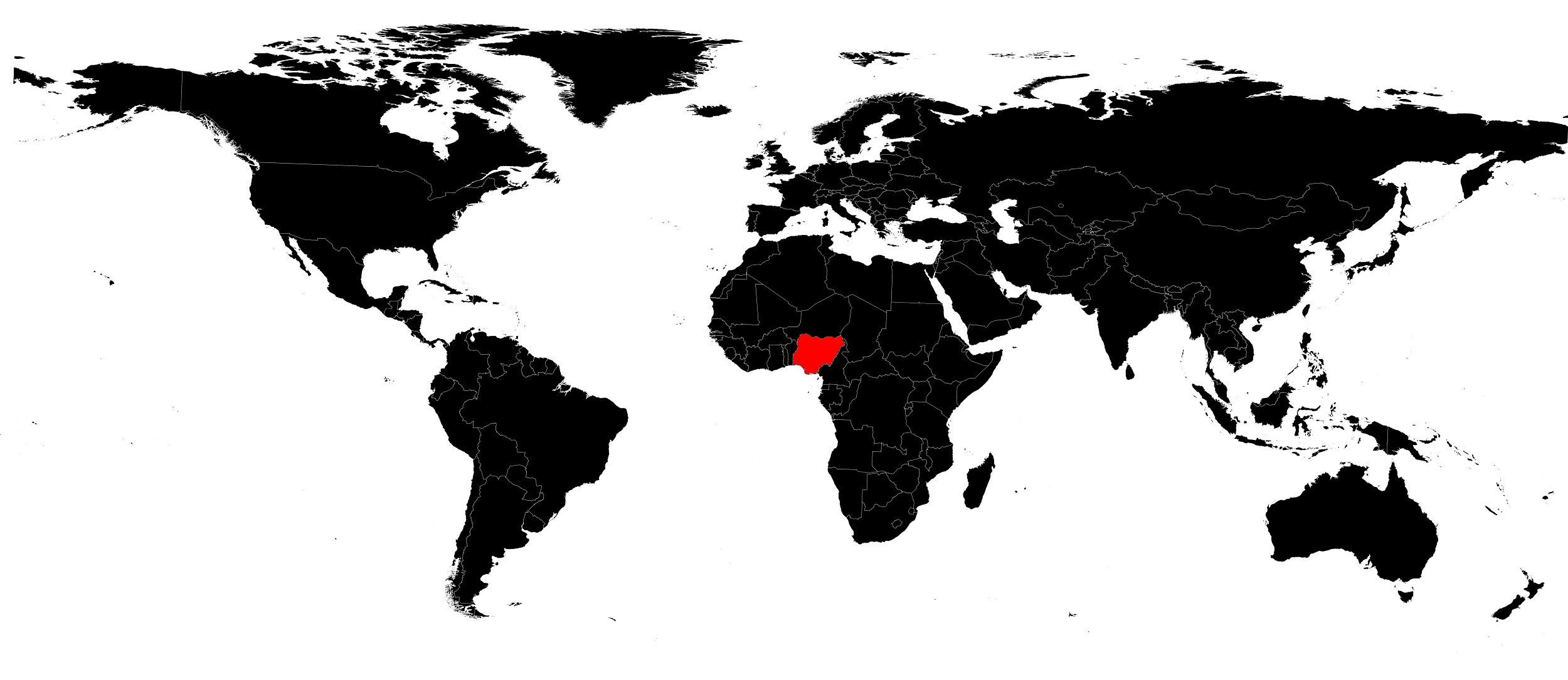
In this article you will discover the map of Nigeria. The country is located on the western coast of the African continent. It is one of the two most populous countries in Africa and one of the most politically significant states on the continent.
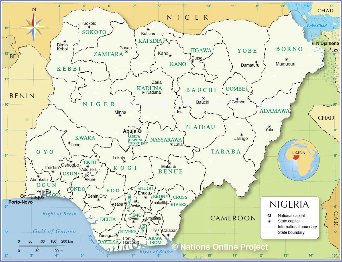
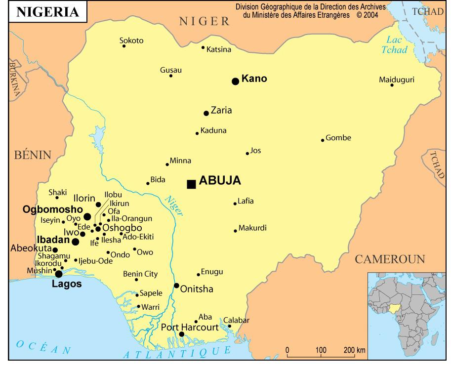
It covers an area of 923,770 square kilometers and is bordered by Benin, Niger, Chad, Cameroon and the Gulf of Guinea. The country stretches over 1,450 kilometers (900 miles), from the savannas of the north to the tropical forests and coastal regions of the south. The capital of Nigeria is the planned city of Abuja, located in the center of the country. You can see it on the map of Nigeria.
This former British colony is a nation rich in oil. However, the fall in oil prices in the early 1980s led to economic and political instability. The elected government was overthrown by a military coup in 1983, followed by another military takeover in 1985. Popular unrest eased somewhat toward the end of the 1980s, and President Ibrahim Babangida, an army general, promised a gradual return to civilian rule by the mid-1990s.
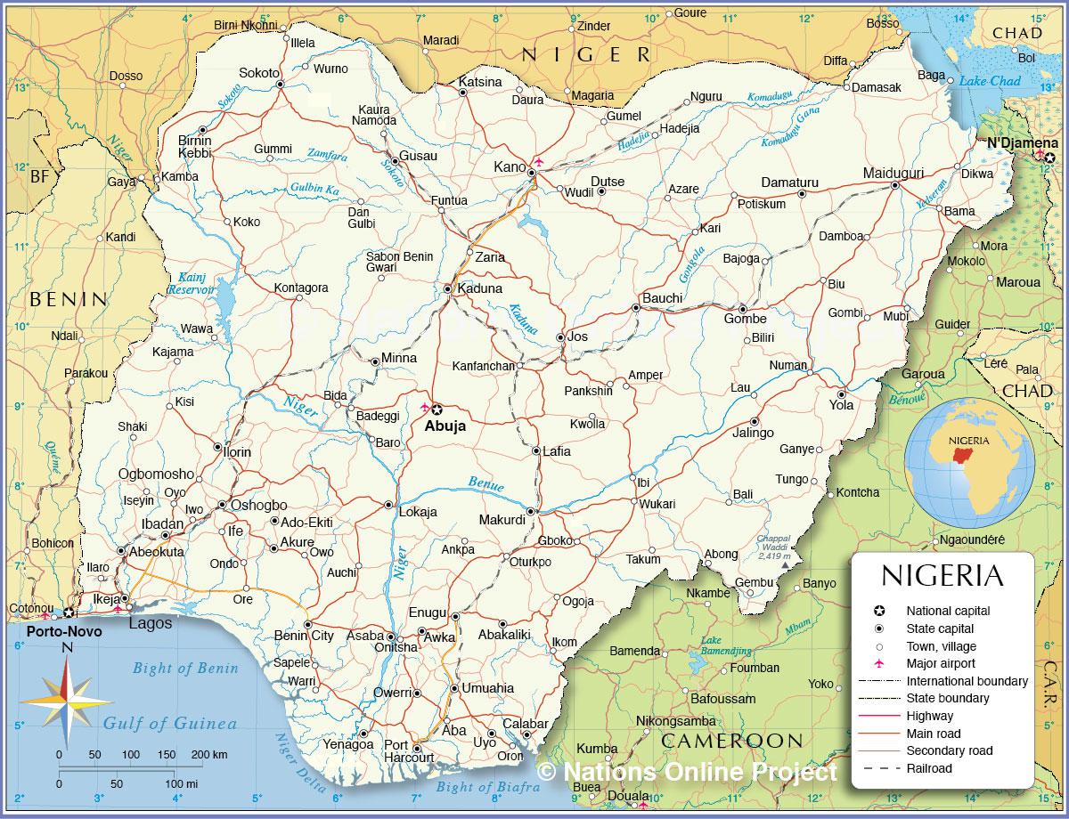
Geography with the map of Nigeria
Nigeria has varied terrain and is divided into three parts by the river system of the Niger and Benue rivers. The northern section consists of low plains (around 460 meters above sea level) crossed by permanent or seasonal waterways and occasionally interrupted by large granite outcrops. This can easily be seen on the map of Nigeria. The central belt has more diverse relief and is marked by rugged volcanic highlands, including the Jos Plateau.
The southern and coastal section mainly consists of low plains and some hills in the southwest. The third section (the vast Niger River delta) is made up of swamps and dense forests and contains the largest oil reserves in Africa. You can explore this on the relief map of Nigeria.
Nigeria’s climate is characterized by unstable, humid air in the south and stable, dry air from the Sahara in the north. Moist air from the Atlantic Ocean moving northward is responsible for most of the country’s rainfall. In the southern regions, humidity and temperatures remain high throughout the year.
Rainfall, ranging between 150 and 250 cm per year, is mainly concentrated over eight months. In the central belt, the seasons are more distinct. Rainfall reaches between 90 and 140 cm annually, and temperatures range from about 30°C during the dry season to around 25°C during the rainy season (May to November).
In the north, between June and October, rainfall may reach 50 to 90 cm per year. The dry season is marked by high temperatures between February and May, with daily temperatures often exceeding 35°C in April. In the far north, rainfall is almost nonexistent, and drought is not uncommon. The geographical distribution of flora and fauna corresponds closely to the climatic zones.
Rapid population growth (around 190 million inhabitants at the time of writing), inappropriate farming practices, climate change and insufficient development policies have led to environmental degradation. In some parts of northern Nigeria, soil quality has deteriorated so severely that desert-like conditions have developed. In the south, significant deforestation has occurred. These environmental changes have had a major impact on wildlife and habitats. You can also consult the map of Nigeria for geographical context.
Economy of the country
Nigeria has significant natural resources but has suffered from poor economic management. The country is the world’s leading producer of columbite, an ore containing niobium. It also has deposits of iron, tin, coal, lead, zinc, uranium and gold. However, oil has been the country’s main resource since the 1970s.
Most oil fields are located offshore in the southeastern delta region. Nigeria is a member of OPEC (Organization of the Petroleum Exporting Countries) and is Africa’s largest crude oil producer.
Its reserves are estimated at around 20 billion barrels. Most oil production and operations are controlled by the government in cooperation with major multinational oil companies. The sharp rise in crude oil prices after 1973 helped stimulate the Nigerian economy. By the early 1990s, oil sales accounted for 65% of government revenue and 95% of export earnings.
The oil boom of the 1970s allowed the government to launch a massive program of construction, industrialization and improvement of social services. One of these projects was the construction of the new city of Abuja, which became the capital. However, the program was poorly designed. By the early 1980s, Nigeria faced severe economic problems and accumulated a huge debt of $31.5 billion by 1992.
After the fall in oil prices in 1982, Nigeria had to adopt austerity measures, including reducing public spending. This led to rising unemployment, reduced imports and political instability. The oil-based era was later seen as a time of waste, excessive spending and declining quality of life.
Agriculture of the country
About 80% of Nigeria’s land area is suitable for agriculture and livestock farming. The map of Nigeria highlights the vastness of the country. However, despite this potential, Nigerian agriculture suffered from the dramatic rise in crude oil revenues, which shifted focus away from farming. Although it employs less than 45% of the national workforce, agriculture accounts for only about 2% of exports.
Exports declined sharply due to poor policy decisions and falling market prices. To stimulate agriculture, the government introduced various measures, including irrigation projects, expanded credit, the use of high-yield seeds and special incentives for foreign investors. However, food production has not kept pace with population growth, which is around 3% per year.
