Poland covers an area of 312,680 square kilometers. As shown on the map of Poland, the country is located in Eastern Europe and is bordered by Russia, Lithuania, Belarus, and Ukraine to the east; by Germany to the west; by the Czech Republic and Slovakia to the south; and by the Baltic Sea to the north
. Poland has no natural borders to the west and east and, as a result, its frontiers have often changed.
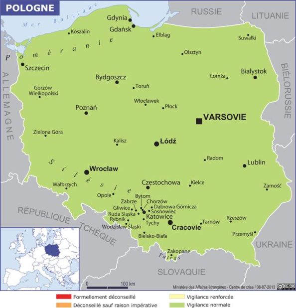
Map of Poland – Credit: Ministry of Foreign Affairs
Geography with the map of Poland
Its main physical feature is a vast plain that occupies two-thirds of the country in the north (see the map of Poland showing the relief). It is part of the great European Plain, which stretches from the Netherlands, crosses Germany and Poland, and reaches Russia.
The northern European Plain is particularly flat, although small mountain ranges created by glacial deposits can sometimes be found. The remaining third of the country, located in the southeast, is mountainous. In the southwest, the Sudetes Mountains form the border with the Czech Republic.
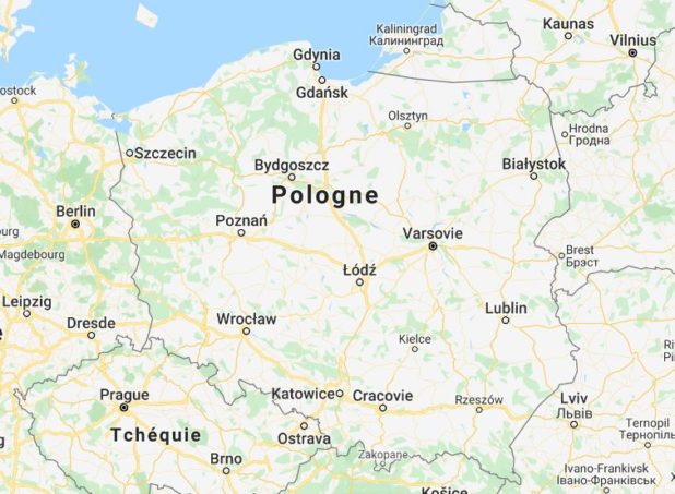
Map of cities in Poland – Image extracted from Google Maps
These are the fractured remains of an ancient massif. In some places, the highest peaks reach 1,000 meters in altitude. Further east, several ranges of the Western Carpathians continue along the border. The main range is called the Beskids. Further south, the Tatra Mountains, located partly in Poland, contain the country’s highest peak, Rysy, which rises to 2,499 meters.
Blank map of Poland – Credit: Actualitix
North of the Carpathians lies a hilly region whose most notable elevations are the Holy Cross Mountains, which reach only 610 meters.
The country’s largest river is the Vistula, visible on the map of Poland. Its main tributary is the Bug River. The Oder River, which originates in the Czech Republic, flows for 742 km through Poland and forms part of the border with Germany. Its main tributaries are the Noteć and Warta rivers.
There are no large lakes in Poland, but in the north, on the Baltic uplands, there are many small glacial lakes. The largest lakes are located in the northeastern region.
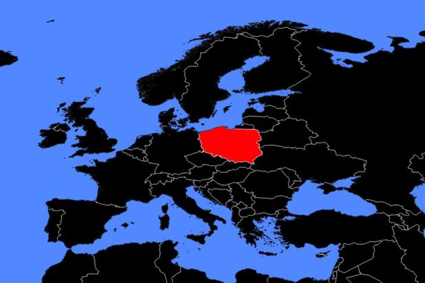
Poland on a map of Europe – Credit: Actualitix
Poland’s climate varies between a western maritime influence and an eastern continental influence. In January, the entire country experiences below-freezing temperatures, but western regions are generally milder in winter than the east. Summer temperatures are more uniform and moderate.
About one quarter of the country is covered by forests. Much of the original forest has been cleared to make way for farmland and pasture. The quality of agricultural soils varies greatly from region to region.
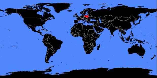
Poland on a world map – Credit: Actualitix
Wildlife and mineral resources
Poland is home to the same types of animals found in other European countries. Coal is the most important mineral resource. Most of it is mined in Upper Silesia, in southwestern Poland, but smaller deposits are also found in the east. Poland’s coal reserves are among the largest in Europe. There are also deposits of copper, zinc, lead, and aluminum. Finally, there are small amounts of oil and natural gas in the southeast.
