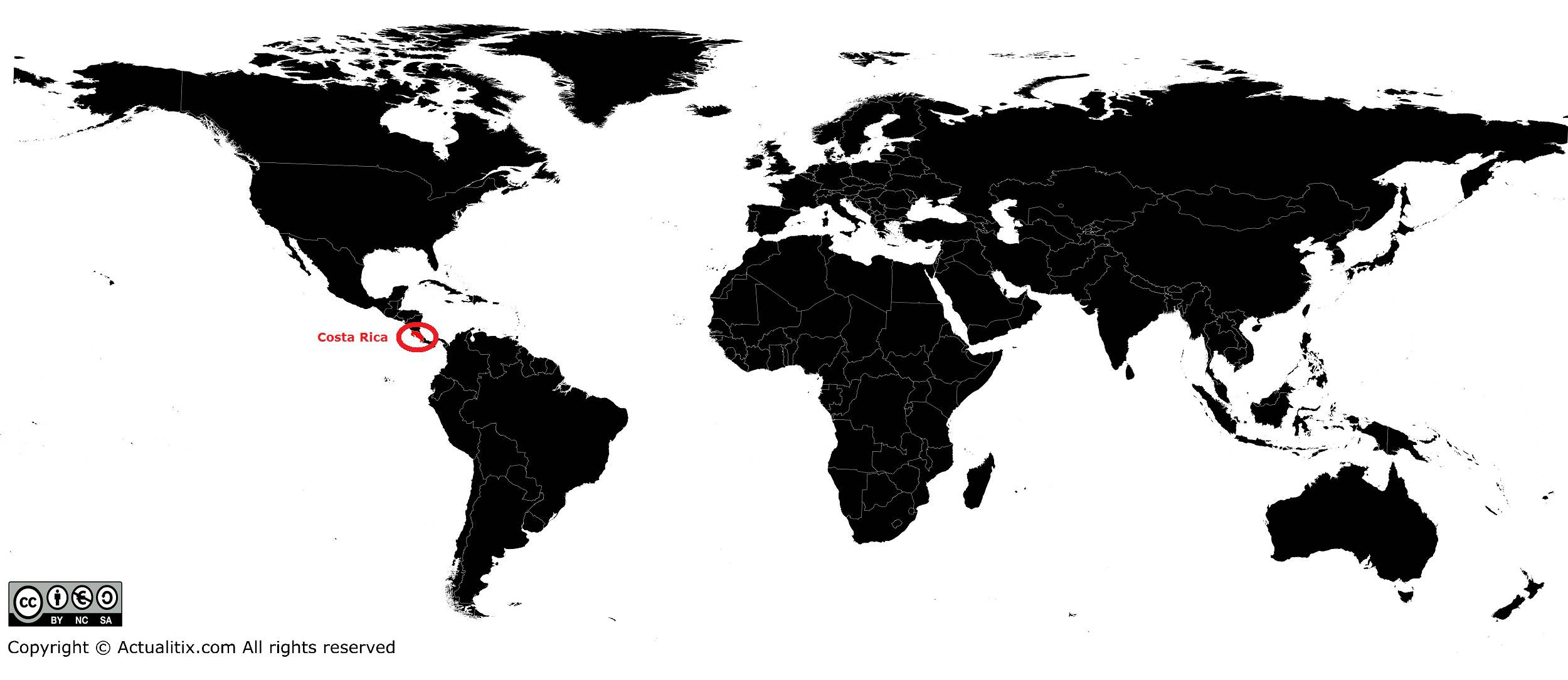
In this article you will find a map of Costa Rica. The country is known for the stability of its democracy and stands out socially and politically from other Latin American countries, which are often politically unstable.
Wealth distribution is indeed much more equitable, and the government has chosen to invest in modernizing the education system rather than in armaments. Government changes take place peacefully, and freedom of expression is respected.
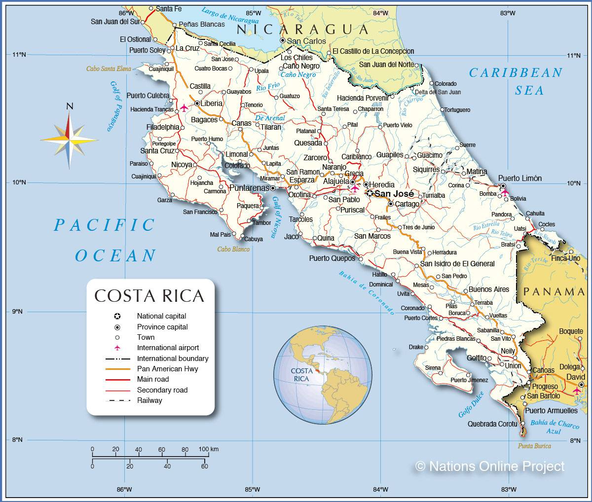
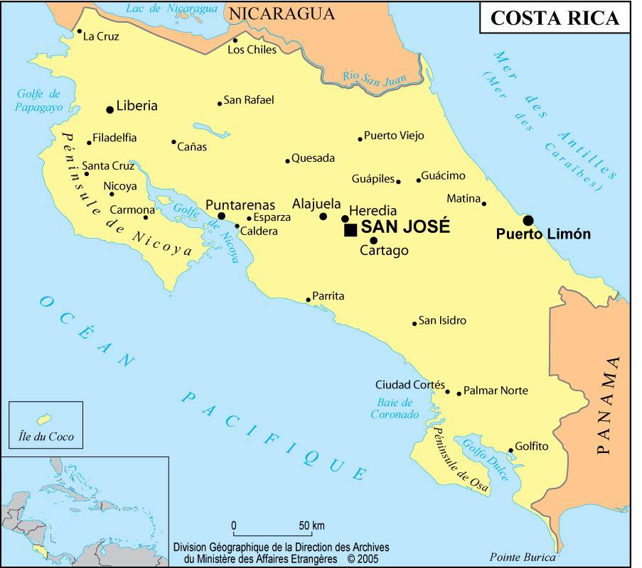
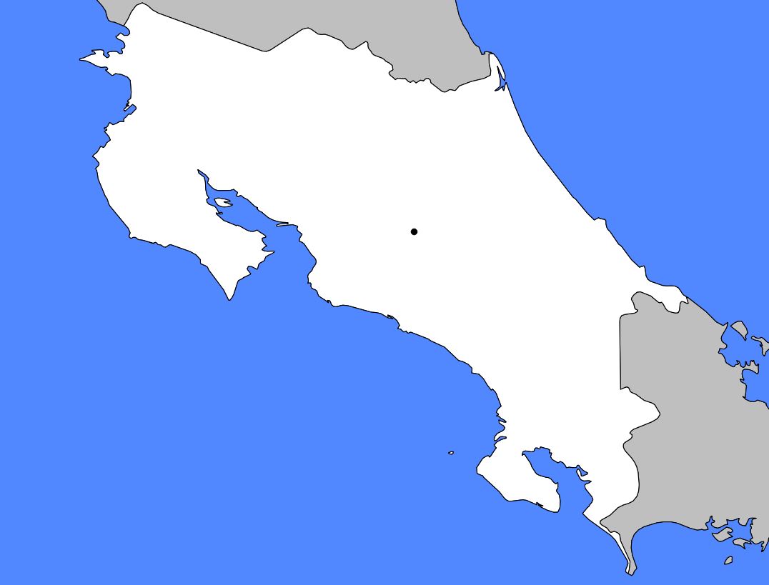
Geography with the map of Costa Rica
The country is one of the seven nations of Central America, as can be seen on the map of Costa Rica. Nearly 320 kilometers separate the border with Nicaragua in the northwest from that with Panama in the south. The coasts washed by the Caribbean Sea and the Pacific Ocean are only 160 to 240 kilometers apart. With an area of 51,100 square kilometers, Costa Rica is one of the smallest countries in Central America.
The center of the country is occupied by what is known as the Central Valley (Meseta Central). Most of the population is concentrated in this mountainous basin, whose altitude ranges between 900 and 1,500 meters. Two mountain ranges, the Central Cordillera and the Guanacaste Cordillera, stretch from the northeast of the Meseta to the border with Nicaragua (see the map of Costa Rica).
Twenty-four kilometers from the capital, San José, stands the still-active Irazú Volcano, which rises to 3,430 meters above sea level. The Talamanca Cordillera extends from the southwest of the Meseta to Panama.
Along the Pacific coast, the coastal plains are framed by interior mountain ranges and by two peninsulas that extend into the ocean. The Caribbean coast is partly covered by marshes that stretch to the northeast of Costa Rica. Farther south, a narrow coastal plain extends to the border with Panama.
Climate
Costa Rica is characterized by significant climatic contrasts. The climate of the coastal plains remains warm throughout the year, while that of the Central Valley is much more temperate. The mountainous regions, however, experience a much cooler climate.
In the regions located in the south of the country, annual rainfall exceeds 305 centimeters. In the Central Valley and the northeast of the territory, rainfall ranges between 150 and 200 centimeters from May to October.
Learn more
Lacking deposits of precious metals and offering a relatively small indigenous labor force, Costa Rica attracted only a few Spanish settlers during the colonial period. In 1821, at the time of independence, the total population did not exceed 75,000 inhabitants. The colonization of the Central Valley and the interior of the country by Europeans dates only from the mid-19th century.
In 2016, Costa Rica’s population was estimated at 4,947,000 inhabitants. However, the majority of the population lives in the Central Valley region, where the capital, San José (which can be seen on the map of Costa Rica), and the five largest cities of the country are located. The ports of Puntarenas and Limón handle most of the country’s freight traffic.
You can discover all the available maps for the different countries of the world on this page.
