In this article you will find a map of The Gambia. After gaining its independence from the United Kingdom, The Gambia became the smallest independent state in all of Africa.
Geography with the map of The Gambia
The country occupies a narrow strip of land divided in two by the Gambia River (see the map of The Gambia). It stretches 475 kilometers in length and ranges from 24 to 48 kilometers in width. Its total area covers 11,300 square kilometers. With the exception of its coastline along the Atlantic Ocean, The Gambia is entirely surrounded by Senegal, a former French colony. The capital is located in Banjul (map of The Gambia).
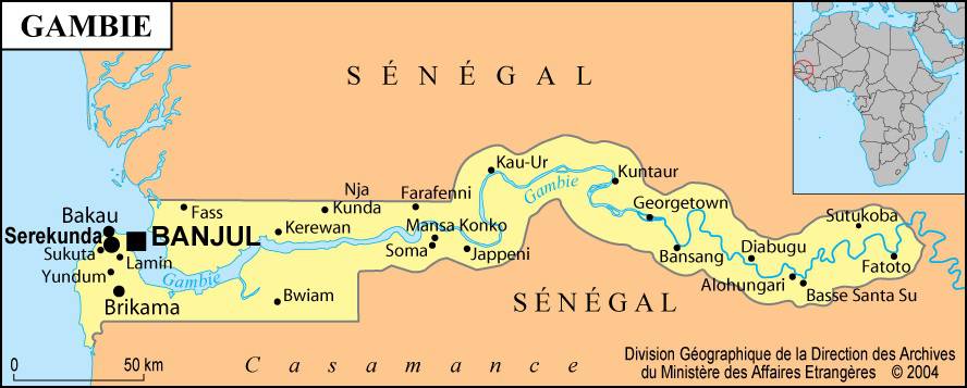
Map of The Gambia – Credit: Ministry of Foreign Affairs
The territory is generally flat. The winding course of the Gambia River is lined with rice fields and pastures. As one moves away from the river, the soil becomes sandy and is particularly suitable for growing peanuts, which rank first among both crops and exports. The climate of The Gambia is tropical (as shown by the map of The Gambia and its location in Africa). It is characterized by a rainy season with stifling temperatures and a much cooler dry season lasting from November to April.
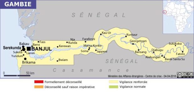
Gambia map – Credit: Ministry of Foreign Affairs
Learn more about The Gambia
The Malinke people represent the largest ethnic group in the country, followed by the Fulani, Wolof, Jola, and Soninke tribes. Although English is the official language, the most commonly spoken languages are Mandingo and Wolof. Muslims make up nearly 95% of the population and are, for the most part, farmers.
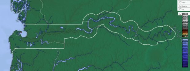
Relief map of The Gambia – Image from maps-for-free
Men are responsible for cultivating peanuts, sorghum, and millet, and they practice regular crop rotation. Women work in the rice fields and focus mainly on vegetable farming. Gambians also practice subsistence agriculture based on the cultivation of oranges and various fruits and vegetables.
After peanuts, The Gambia’s main exports are palm oil and dried fish. Industry is largely dominated by factories specializing in the processing and packaging of peanuts. Unfortunately, no mineral resources supplement these rather limited sources of income.
History
After the abolition of slavery within the British Empire in 1807, the British founded the city of Bathurst (now Banjul). This fort allowed them to put an end to the slave trade along the Gambia River. Many freed slaves chose to settle in The Gambia. In 1889, The Gambia and Senegal were united. In 1894, The Gambia officially became a British protectorate and colony.

Constitutional revisions were numerous: the Constitution was amended several times in 1946, 1954, 1959, and 1961. The independence of The Gambia was finally proclaimed on February 18, 1965. It later became a republic and a member of the Commonwealth in 1970.
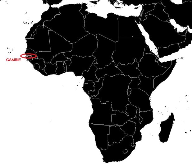
Gambia on a map of Africa – Credit Actualitix
Sir Dawda Kairaba Jawara was the first President of the Republic of The Gambia. The president and the 36 members of the House of Representatives are elected for five-year terms. Among the 50 members of the legislative body, 5 are chosen by an assembly of chiefs and 9 are appointed by the president.
In 1965, The Gambia and Senegal decided to adopt a common economic and foreign policy. The confederation that united the two nations since 1982, Senegambia, was dissolved in 1989. After being re-elected several times in 1982, 1987, and 1992, Jawara was forced into exile in Senegal following a military coup in 1994.
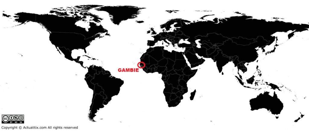
Gambia on a world map – Credit Actualitix
A provisional military council then took control of the country under the leadership of Yahya Jammeh. He was appointed head of state in 1994 and won the elections held in September 1996. In 2016, the population of The Gambia was estimated at 2.03 million inhabitants.
