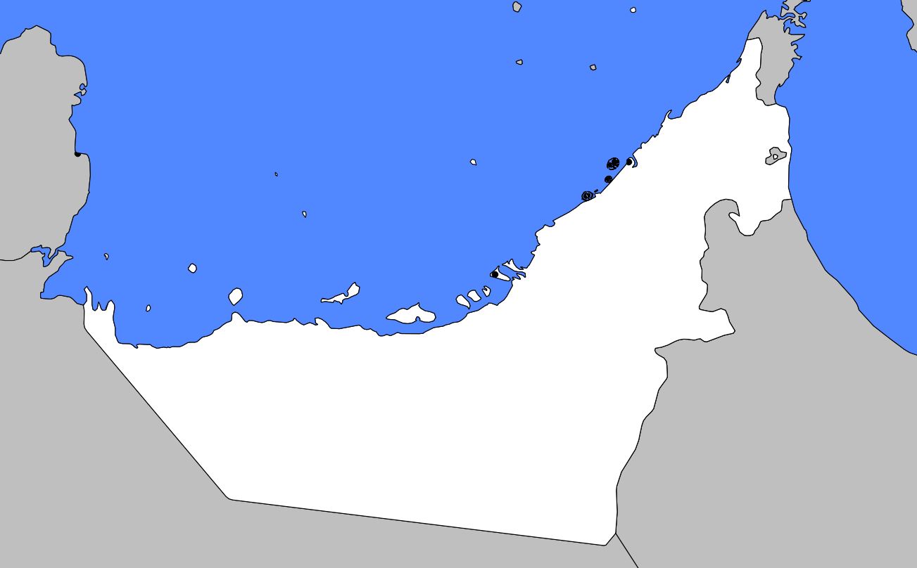
In this article you will find a map of the United Arab Emirates. The eastern coast of the Arabian Peninsula is occupied by the United Arab Emirates. They consist of seven emirates: Abu Dhabi, Dubai, Sharjah, Ajman, Umm al-Quwain, Ras al-Khaimah, and Fujairah. Abu Dhabi, the largest city, is also the capital of this federation.
The country is bordered to the north by Qatar and the Persian Gulf, to the west and south by Saudi Arabia, and to the east and northeast by Oman. The United Arab Emirates covers an area of 75,581 square kilometers.
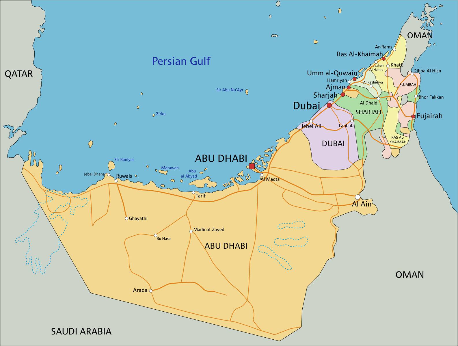
Map of the United Arab Emirates – © pbardocz – stock.adobe.com
Geography on the map of the United Arab Emirates
As can be seen on the map of the United Arab Emirates, the landscape of this region is characterized by a desert coastal plain. The climate is hot and dry throughout the year. Temperatures can reach 46°C in summer. Average annual rainfall ranges between 7.6 and 10 centimeters. Natural vegetation is very sparse.
The population, mainly composed of Arabs, is Muslim and follows the principles of Islam, the official religion. There is still a significant number of nomads. Arabic is the official language, but Hindi, Urdu, and Persian are also widely spoken. The majority of the workforce consists of skilled foreign workers. The United Arab Emirates University is the country’s only higher education institution.
Oil is the most important economic resource of the region. Its oil and natural gas reserves are among the largest in the world. Production is mainly concentrated in Abu Dhabi, Dubai, and Sharjah (see their locations on the map of the United Arab Emirates). Since the discovery of the first oil fields in the 1950s, the country has undergone complete modernization. Thanks to the enormous profits generated by oil exports, the United Arab Emirates has one of the highest gross domestic products per capita in the world.
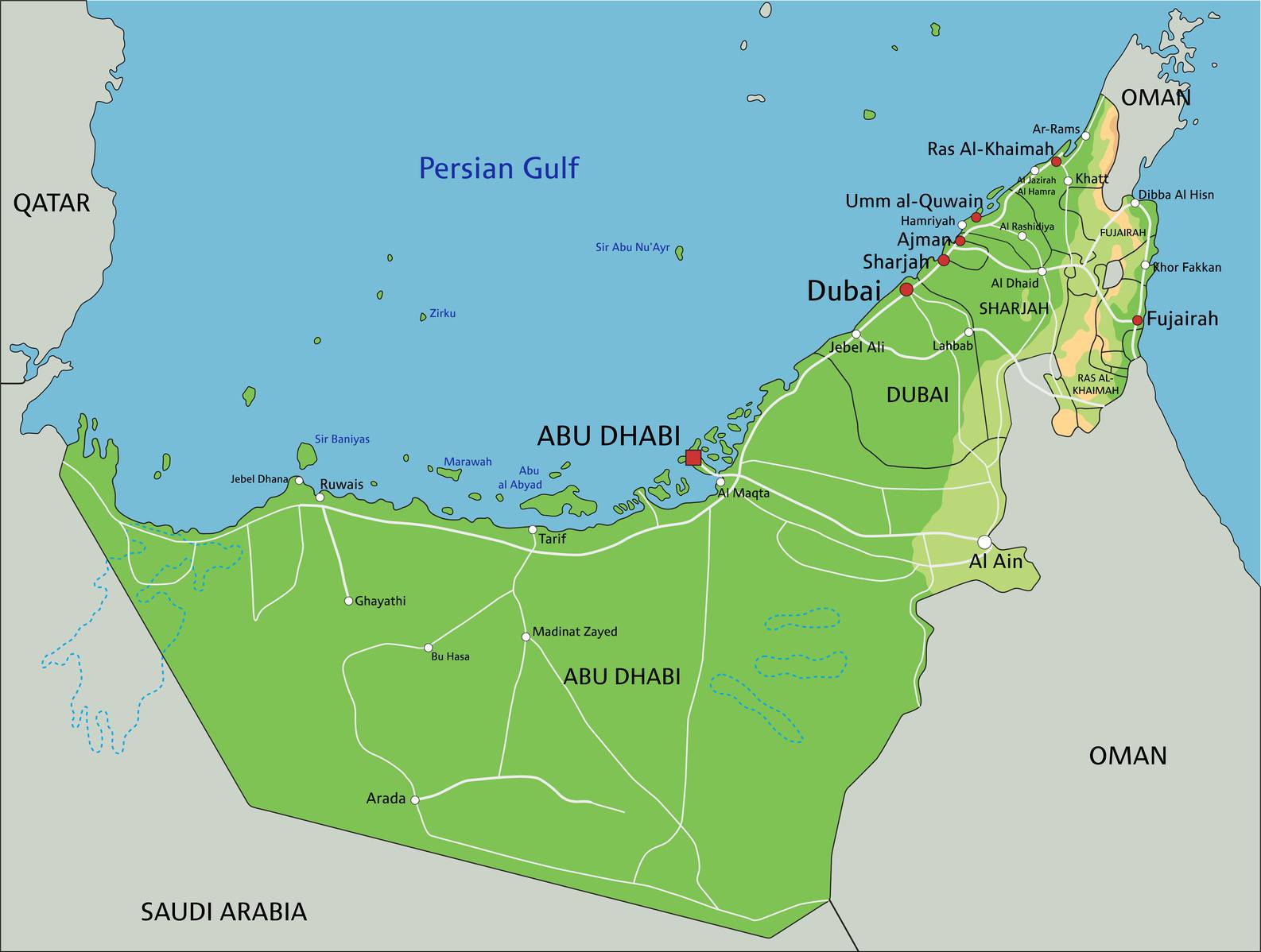
Geographical map of the United Arab Emirates – © pbardocz – stock.adobe.com
Less than 0.2% of the territory is arable. Wheat, barley, millet, fruits, and vegetables are grown using irrigation systems. Date palms and alfalfa are mainly cultivated in oases. Fishing also plays a fairly significant economic role. Dubai is the main port and handles extremely important transit trade.
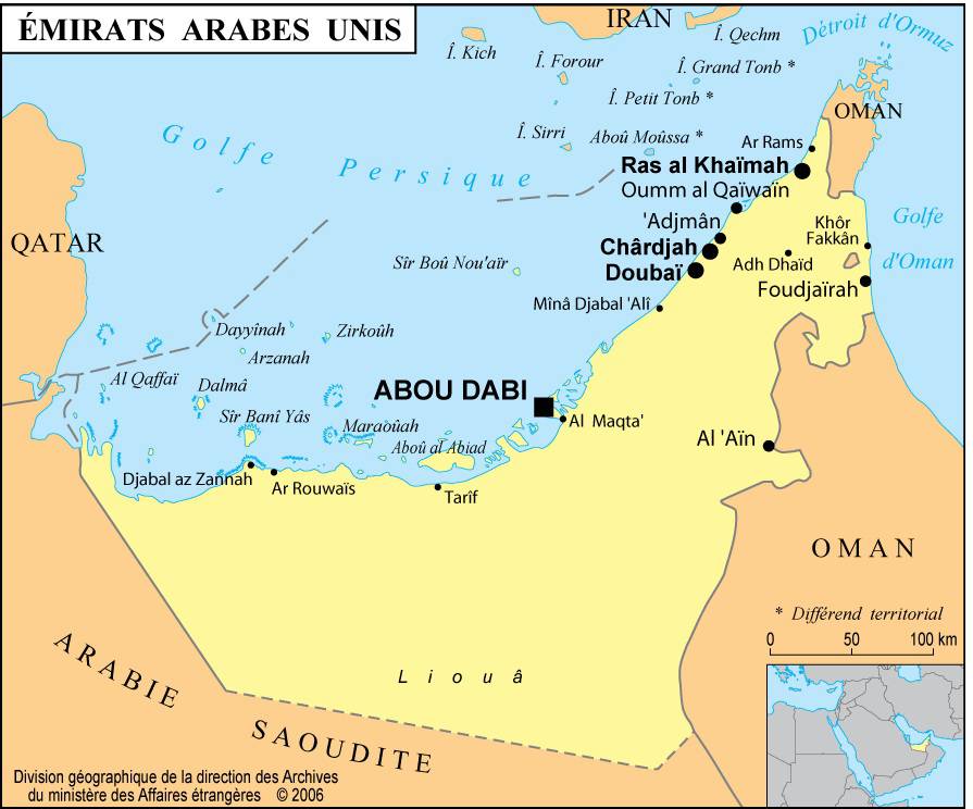
Map of cities in the United Arab Emirates
Learn more about the country
In 1853, at the signing of the “Treaty of Maritime Peace in Perpetuity,” the entire region was known as the Pirate Coast or the “Trucial Coast.” From 1873 to 1947, it was administered by British India, and after 1947 by the Foreign Office in London.
Each emirate (visible on the map of the United Arab Emirates) nevertheless continued to fully control its internal affairs. In 1960, the “Trucial States Council” was created, with each emirate represented.
Travel map of the United Arab Emirates
The British withdrew in 1971, and the “Trucial States” became a federal union called the United Arab Emirates. In 1972, Ras al-Khaimah joined the federation, while Bahrain and Qatar became independent states.
Blank map of the United Arab Emirates
Each of the seven emirates is governed by a hereditary ruler. The “Supreme Council of Rulers,” composed of the rulers of the seven emirates, holds the highest federal authority. In 1996, the population was estimated at 2,924,594 inhabitants.
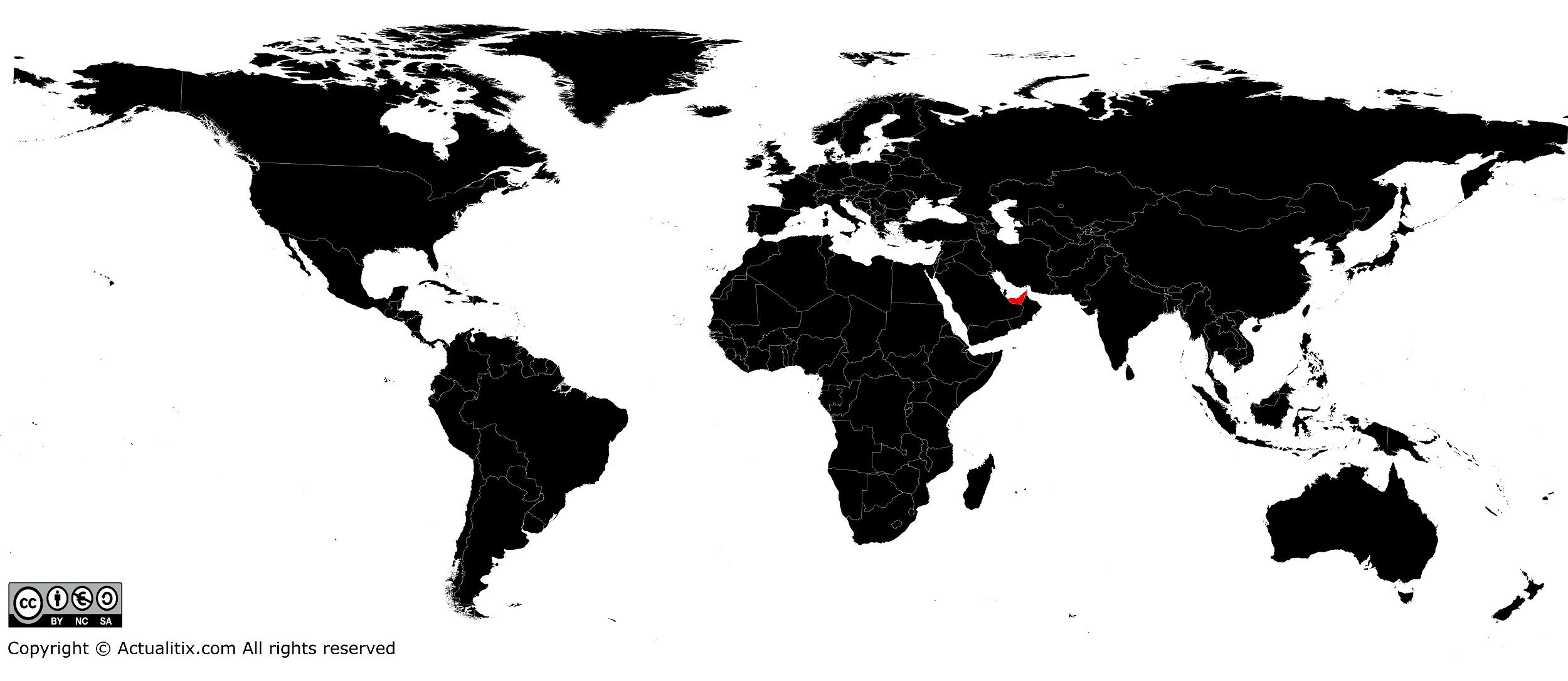
United Arab Emirates on a world map
You can discover all available maps for different countries of the world on this page.
