In this article we will look at the map of the Central African Republic. Formerly a French colony known as Ubangi-Shari, the Central African Republic proclaimed its independence in 1960.
This landlocked and isolated country fell prey to “concessionary companies,” meaning companies granted exclusive sales rights within a given region.
As a result, it remains underdeveloped. The proclamation of independence was followed by 14 years of terror marked by the rule of Bokassa I, who took the title of emperor and renamed the country the Central African Empire. After Bokassa’s fall, the country resumed its former name. Despite its considerable economic potential, it is currently one of the least developed countries on the African continent.
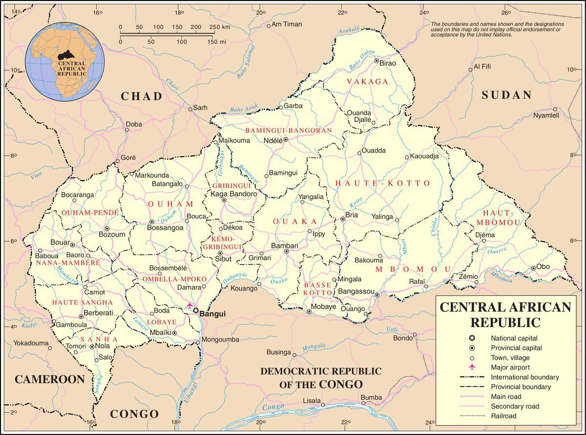
Central African Republic map – Credit: Nations Online
Geography with the map of the Central African Republic
The Central African Republic lies on a vast undulating plateau covering 622,980 square kilometers. This plateau separates the Ubangi-Bomu river basin, which forms part of its southern border, from Lake Chad further north (see the map of the Central African Republic).
It lies between the Congo Basin in the south, where forests are dense, and the desert basin of Chad, dominated by steppe landscapes. Flora and climate are therefore highly varied. The southwest of the country is characterized by particularly dense forests. The center is covered by savanna, which gradually gives way to steppe as one moves northward. See the regions on the map of the Central African Republic.
There are two rainy seasons: rainfall is heavier in the southwest and south than in the north. The southern part of the country is crossed by numerous permanent rivers, while in the north rivers are fewer and often dry. The Ubangi is a navigable tributary of the Congo River. Bangui, the capital, is located upstream on this river, where it begins to become navigable. See the rivers on the map of the Central African Republic.
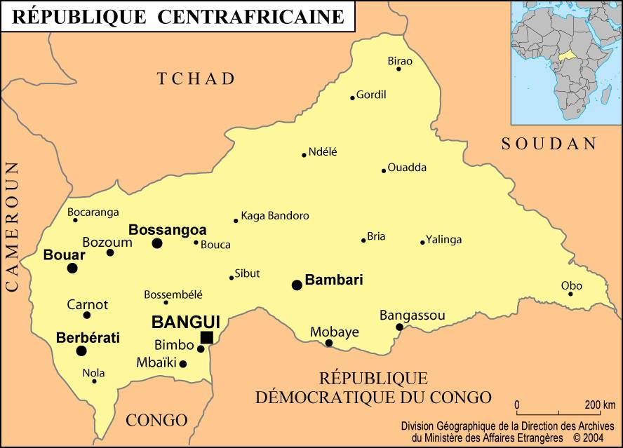
Map of cities in the Central African Republic
Population
French and Sango (a Sudanese language) are the two official languages, but many other languages are also spoken. In the northeast, Arabic languages are widespread, while in the southwest languages belonging to the Niger-Congo group are the most commonly used.
The Central African Republic is home to approximately 75 different ethnic groups. The Banda, who occupy the center and east of the plateau, are by far the largest group.
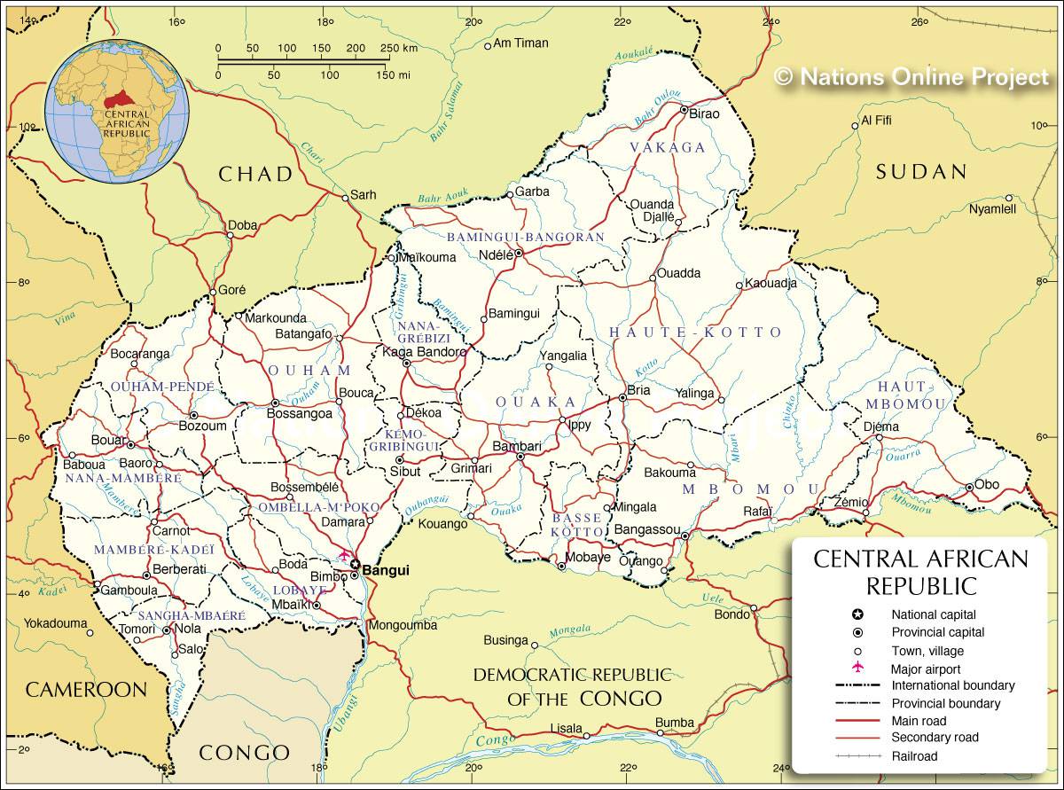
Map of the Central African Republic – Credit: Nations Online
Among the other main groups are the Baya, Ngbandi, Azande, and Sara. Protestants, Catholics, and Muslims represent approximately 40%, 28%, and 8% of the total population, respectively. Traditional animist religions are practiced by the rest of the population. However, Christian religions remain associated with the colonial era, and traditional beliefs have recently experienced renewed interest.
Economy
Near the forests, in the relatively humid southern part of the country, coffee plantations are very successful. The plateau is particularly well suited to cotton cultivation. The country also produces, in smaller quantities, tobacco and palm oil. Cattle breeding is mainly concentrated in the grasslands of mountainous regions with a cooler climate.
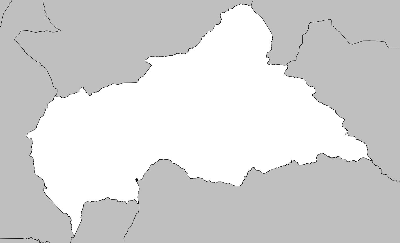
Blank map of the Central African Republic
Gold and diamonds are the country’s main mineral resources, although there are also deposits of uranium, iron ore, manganese, and copper. The exploitation of these raw materials is hindered by the lack of roads. Gold and diamonds are exported by air. The vast forests covering much of the territory produce significant quantities of timber, partly for export.
Nearly 65% of the workforce is employed in farming and practices subsistence agriculture. They mainly grow cassava, yams, peanuts, corn, bananas, plantains, and oranges. Industrial development is limited and mainly concerns the textile industry.
To some extent, the current problems of the Central African Republic originated during the colonial period. Due to the establishment of large concessionary companies in the country, the population viewed European initiatives and motivations with suspicion. French colonial policy only reinforced this initial mistrust. After independence, farmers nevertheless remained hostile to change.
However, the situation improved somewhat between the early 1970s and the early 1990s. France contributed to the collapse of Bokassa’s empire and later supported the Central African Republic.
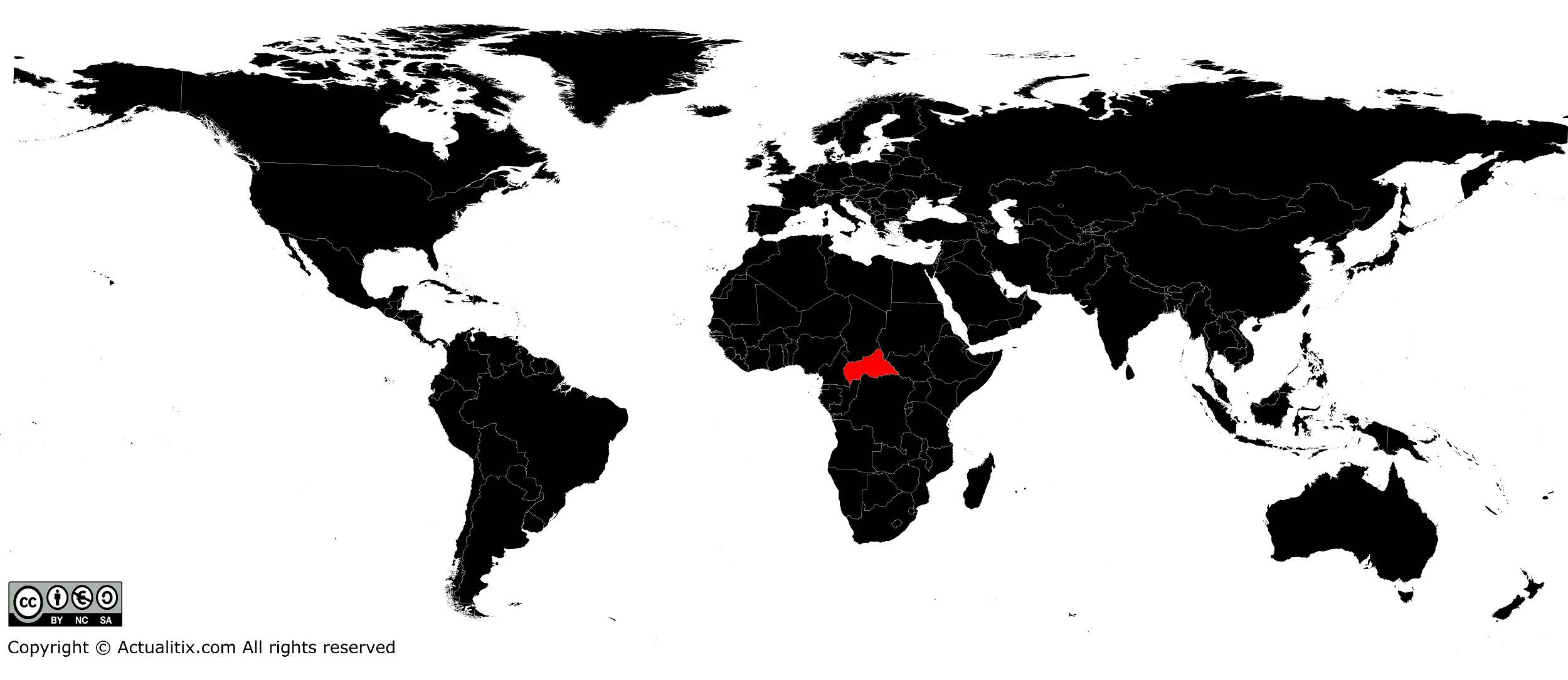
Central African Republic on a world map
