In this article you will find a map of Malta. The island state of Malta is located in the Mediterranean Sea, 93 kilometers from the coast of Sicily, and covers an area of 320 square kilometers.
Malta is the main island of a small archipelago that also includes the islands of Gozo, Comino, Cominotto, and Filfla, but only the first two are inhabited. Valletta, the capital and main port, is located on the island of Malta (see the map of Malta).
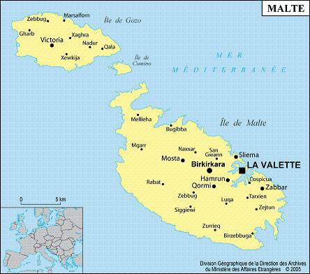
Map of Malta – Credit: Ministry of Foreign Affairs
Learn more with the map of Malta
The archipelago has a Mediterranean climate characterized by hot, dry summers and cool, wet winters: snowfall, fog, and frost are nonexistent. Cultivated land represents half of the territory, but since the soil is not very fertile, agricultural productivity is low.

Relief map of Malta – Image extracted from maps-for-free
Farms mainly focus on growing wheat, barley, corn, potatoes, and citrus fruits. Salt and limestone are the only mineral resources of the archipelago. Until 1979, the economy largely benefited from the presence of a British military base with numerous docks. After its closure, the government successfully diversified the economy.
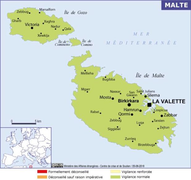
Malta map – Credit: Ministry of Foreign Affairs
The now-thriving tourism industry has become the archipelago’s main source of income. However, shipyards still play an important economic role. There are also many food-processing plants, textile factories, and shoe manufacturing facilities. Textiles, clothing, footwear, and plastics are the leading exports.
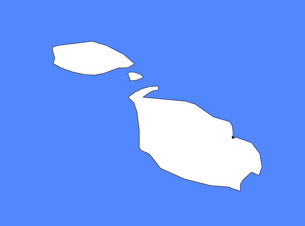
Blank map of Malta – Credit Actualitix
The island of Malta has an extensive road network of 1,300 kilometers, and the roads are passable in all weather conditions. You can also discover it on the map of Malta with roads.
The Maltese
The standard of living of the Maltese population is high. Most medical services are free, including hospital stays. Schooling is compulsory for children aged 6 to 16. Education is free in public schools as well as in religious schools (since 1985). The population is relatively diverse and consists of Arabs, Italians, Turks, Greeks, and Britons.

Malta on a map of Europe – Credit Actualitix
Catholics represent a large majority (97%) of the total population, and Catholicism is the state religion. English and Maltese (a language related to Phoenician and Arabic) are the two official languages.
Although it is not visible on the map of Malta, the archipelago’s archaeological sites are among the oldest in the entire Mediterranean. The Phoenicians began colonizing the islands of the Maltese archipelago around 900 BC.
History of Malta
The islands were later invaded by the Romans in 218 BC, conquered by the Arabs in 870 AD, and annexed by the Normans of Sicily in 1090. In 1530, the island of Malta was granted by Charles V to the Order of Saint John of Jerusalem. In June 1798, Napoleon conquered the archipelago, but the British eventually expelled the French in 1800. However, the archipelago only became a British colony after the signing of the Treaty of Paris in 1814.
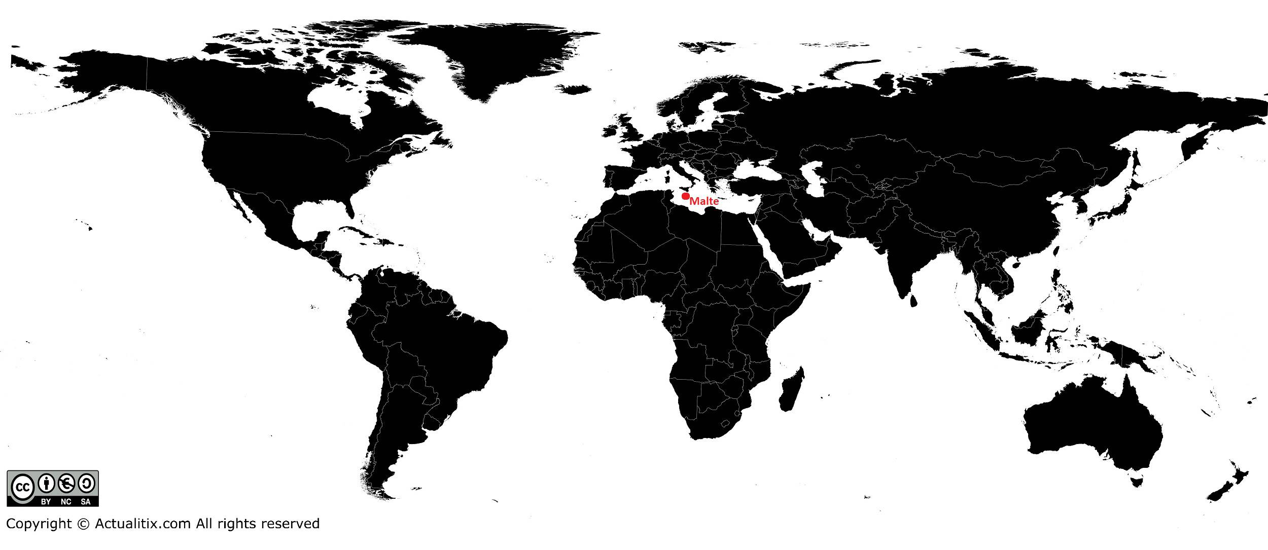
Malta on a world map – Credit Actualitix
Malta gained its independence within the Commonwealth in 1964 and became a republic in 1974. Parliament consists of a House of Representatives whose members are elected by proportional representation. The president, elected for five years, is the head of state, while the prime minister is the head of government.
The state of Malta has managed to maintain significant political neutrality in international relations and has signed trade agreements with many countries. In 2013, the population of the Maltese islands was estimated at 446,000 inhabitants.
