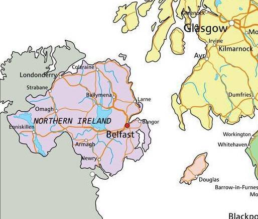
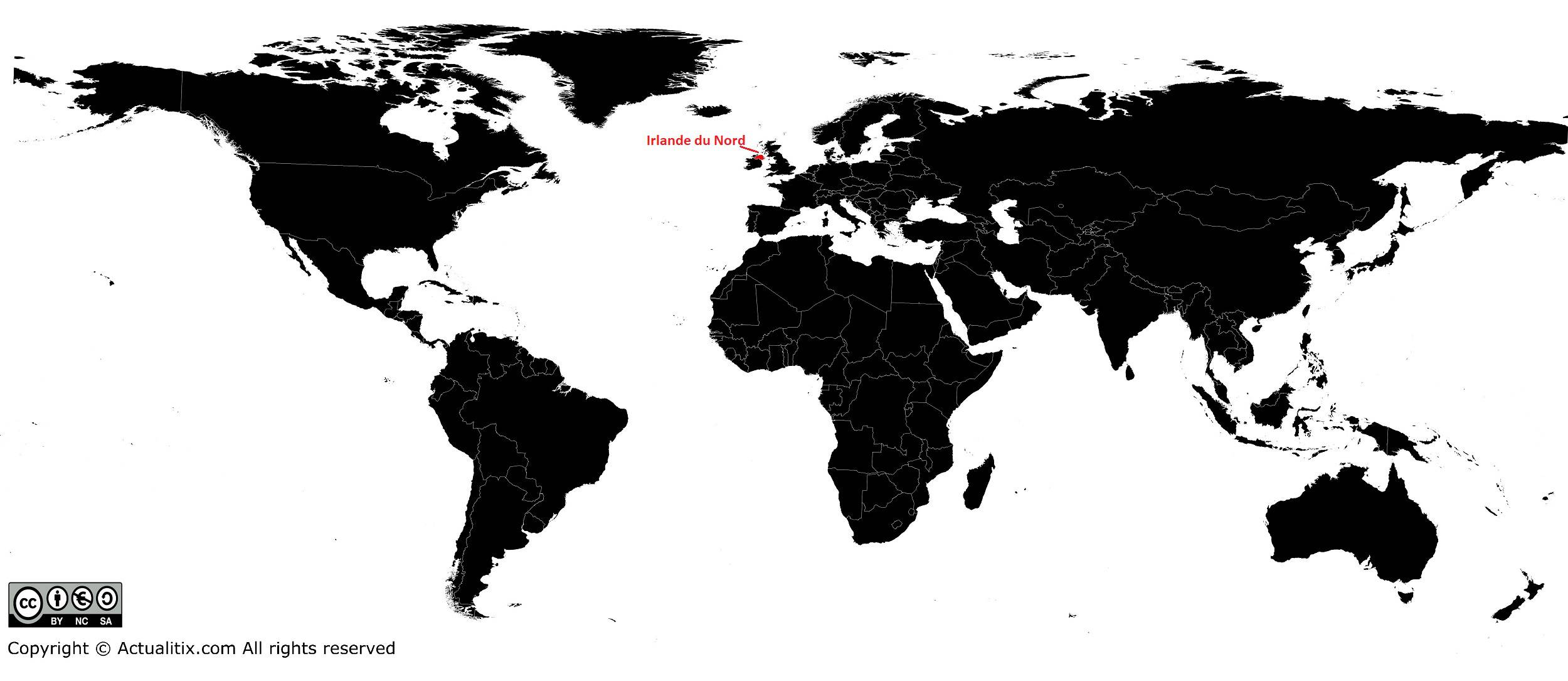
In this article you will find a map of Northern Ireland. The English name of the country is Northern Ireland. The country is part of the United Kingdom and is one of its four constituent nations. It is also located in the northeastern part of the island of Ireland.
It remained linked to Great Britain, particularly following the independence of the southern counties in 1921. As mentioned earlier, Northern Ireland and Great Britain together form the United Kingdom.
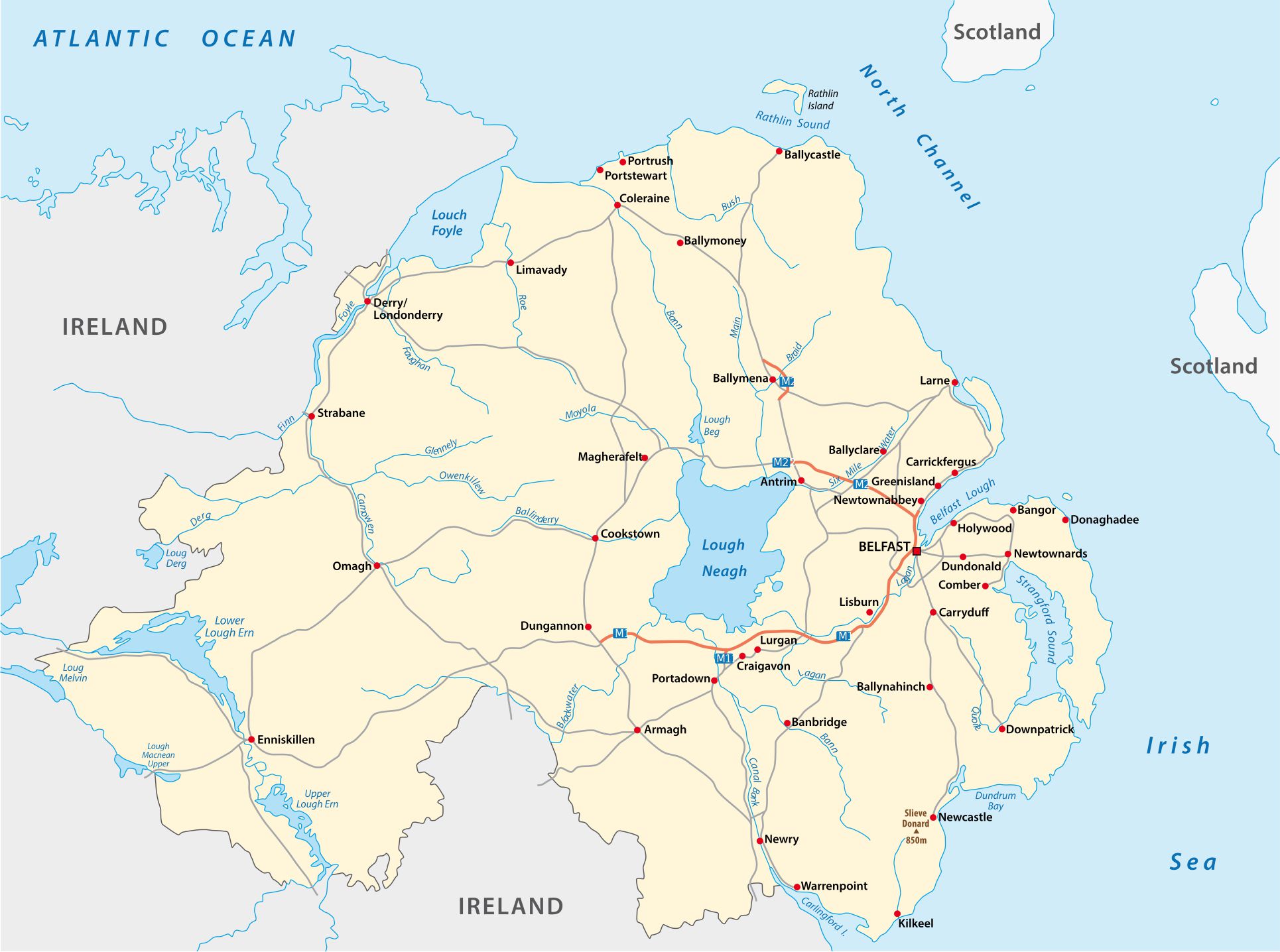
Table of contents
Geography with the map of Northern Ireland
Northern Ireland is also sometimes referred to as Ulster, although this name is less commonly used. The name comes from the historical province of Ulster, from which Northern Ireland was formed. It includes six of the nine counties of the former province, hence the nickname.
The country also includes Rathlin Island and several smaller offshore islands. Regarding its boundaries, the country is bordered by the sea to the northeast (the North Channel) and to the southeast by the Irish Sea. On land, it shares borders to the south and west with the neighboring Republic of Ireland. The capital is Belfast, as shown on the map of Northern Ireland.
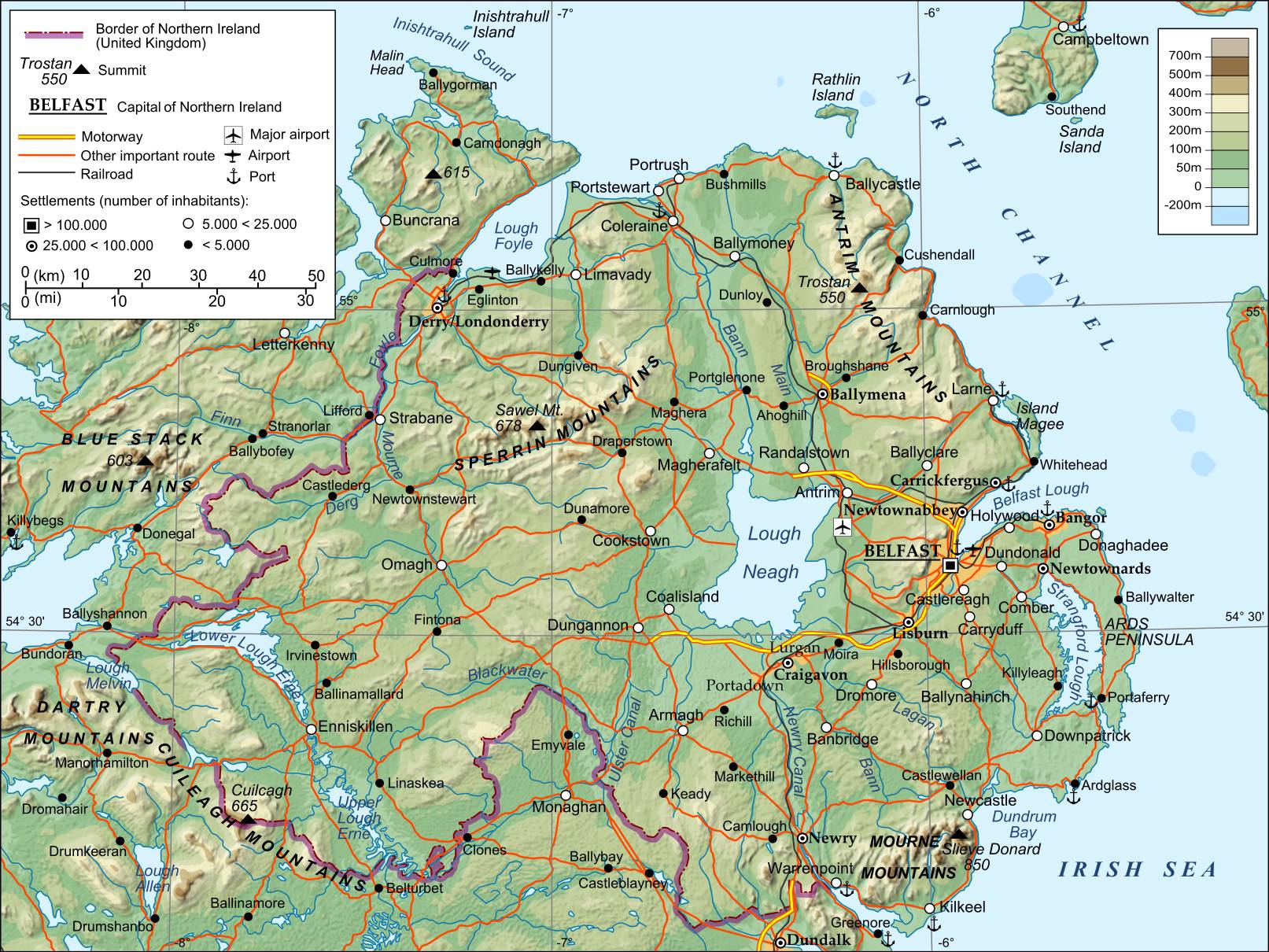
With a total area of 14,148 square kilometers, Northern Ireland stretches about 135 km from north to south and around 175 km from east to west. Its coastline, about 530 km long, is deeply indented with fjord-like inlets known locally as loughs. The two main loughs, Belfast Lough in the east and Foyle Lough in the north, contain the ports of Belfast and Londonderry.
The northern coast, north of the Antrim Plateau, features a famous geological site, the Giant’s Causeway, a vast pavement of dark basalt columns.
A great plain
A large area of the country corresponds to the continuation of the Scottish Lowlands. It is a vast plain at the center of which lies Lough Neagh (about 390 km²), the largest lake in the British Isles.

Lough Neagh is a deep lake of tectonic origin whose development was influenced by glacial erosion. Its landscape is a mix of land and water.
The central plain rises toward the coasts with modest mountain ranges of moderate altitude, known as mid-mountains, formed mainly of ancient rocks. In the northwest are the Sperrin Mountains (683 meters), in the southeast the Mourne Mountains with the highest peak, Slieve Donard (852 meters), and in the northeast the Antrim Plateau. These features can be observed on the map of Northern Ireland.
Rivers
The main rivers of Northern Ireland include the Foyle, which forms part of the natural border with the Republic of Ireland in the northwest before flowing into Lough Foyle at Londonderry, as well as the Upper Bann and the Lower Bann, all visible on the map of Northern Ireland.
The last two rivers originate in the Mourne Mountains and from Lough Neagh. The Upper Bann flows into Lough Neagh, while the Lower Bann empties into the North Channel. The gently sloping relief prevents efficient drainage, creating many marshlands.
Climate
Northern Ireland has an oceanic climate, meaning it is mild but humid throughout the year. Average temperatures are around 10°C annually, with cool summers averaging 14.4°C in July and relatively mild winters with about 5°C in January.

The country is affected by westerly winds warmed by the Gulf Stream, which helps explain the relatively small temperature variations. Rainfall is fairly consistent throughout the year and often exceeds 1,000 mm in the north.
Cities
As mentioned earlier, the capital of Northern Ireland is Belfast, located in the east. It is also the largest city, with a population of about 333,000 (2015 estimate). A large share of the country’s population and industry is concentrated there. Another major city is Londonderry in the north, with about 105,000 inhabitants. You can see the main cities on the map of Northern Ireland.
