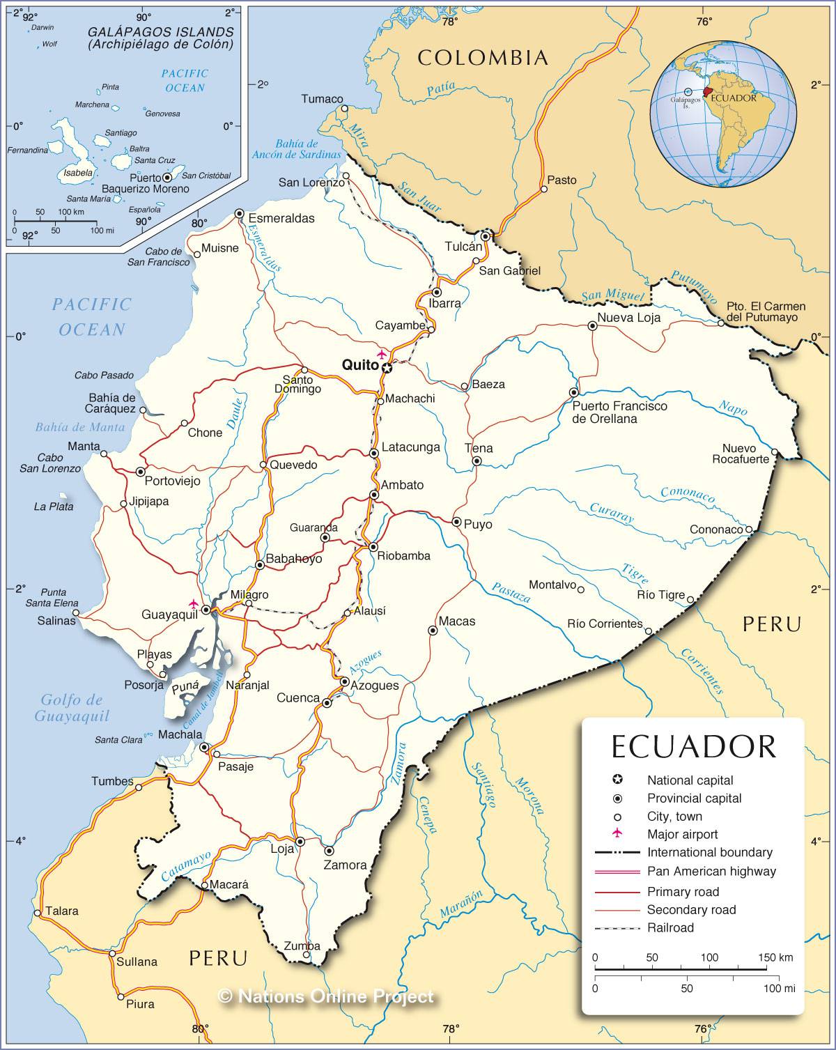
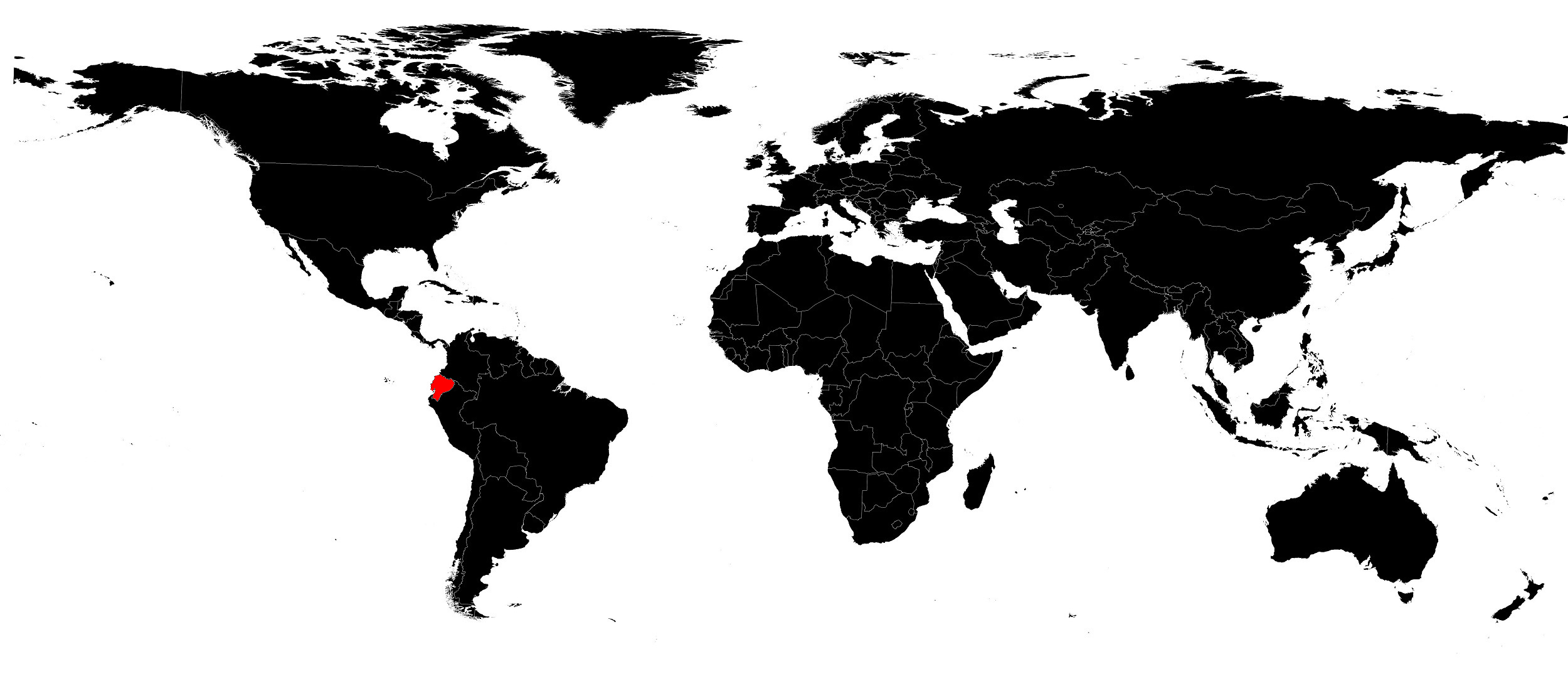
In this article you will find a map of Ecuador. The creation of the Republic of Ecuador dates back to 1830. This South American state covers an area of 283,950 square kilometers but has only very limited natural resources.
The domestic market is also constrained by the country’s relatively small population. The Republic of Ecuador is bordered to the east and south by Peru. However, disputes over border recognition have been numerous. Since 1973, the Ecuadorian economy has largely benefited from oil exports, which have significantly contributed to the country’s industrialization and urbanization.
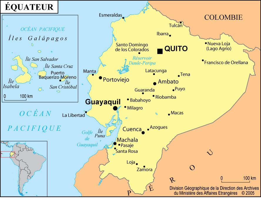
Table of contents
Geography with the map of Ecuador
As can be seen on the map of Ecuador, the country can be divided into three main regions: the coastal plains (La Costa), the Andes (La Sierra), and the heavily forested eastern plains (El Oriente). The Andes mountain range crosses the country from north to south. These high-altitude regions moderate the equatorial climate that prevails elsewhere in the territory and have very distinctive vegetation.
Two parallel mountain ranges rise on either side of a central plateau, the Sierra, divided into numerous small isolated basins located above 2,100 meters in altitude. Although the size and elevation of these basins vary, they are all characterized by rugged terrain. The rivers flowing through this region are often deeply incised, having carved their way through glacial terraces and accumulations of volcanic ash.
This mountainous region is home to several still-active volcanoes: Cotopaxi and Chimborazo, which rise to 5,897 meters and 6,310 meters respectively.
Quito, the capital, as well as the cities of Ibarra, Cuenca, Ambato, and Loja, are located in one of the many basins of this very mountainous region. Fertile soils are one of the Sierra’s main assets, which also benefits from a mild and pleasant climate.
The plains that begin on the often-steep slopes of this mountain system extend toward the Amazon and contain vast tropical forests with extremely dense vegetation. Oil exploration and logging are only just beginning, and natural resources remain far from fully exploited.
The advantages of the western coastal plains largely explain the more limited development of the eastern part of the country. The coastline is bordered by easily accessible plains generally below 300 meters in altitude. Their geographic position also facilitates international trade. Coastal regions are nevertheless extremely diverse.
They range from vast tropical forests in the north to almost desert areas in the south. The coastal plains are famous for their banana plantations, whose production is exported worldwide. They are also the country’s main agricultural and industrial region. Guayaquil and Esmeraldas are the two largest coastal cities, and Esmeraldas’ population has even exceeded that of Quito since 1910.
Learn more
The Republic of Ecuador is home to four major ethnic groups: Indigenous peoples, Mestizos, Whites, and Blacks. Indigenous people traditionally live in the Sierra, but their once-flourishing civilization did not withstand the impact of the Spanish invasion in the 16th century. Over the past 400 years, the Indigenous population has sought to preserve its cultural identity by remaining faithful to the Quechua language and its customs.
The country’s modernization has nevertheless led to significant rural exodus and the adoption of modern farming methods. Indigenous people, however, remain at the bottom of Ecuador’s social hierarchy: their economic and political role is limited, even though they represent a significant portion of the population.
