In this article you will find a map of Guatemala. From both an industrial and economic point of view, Guatemala is a powerful country in Central America. It is home to more than one third of the population living in this part of the world.
Mayan archaeological sites scattered throughout the territory testify to the complexity of Guatemalan civilization at the time of its discovery by the Spanish.
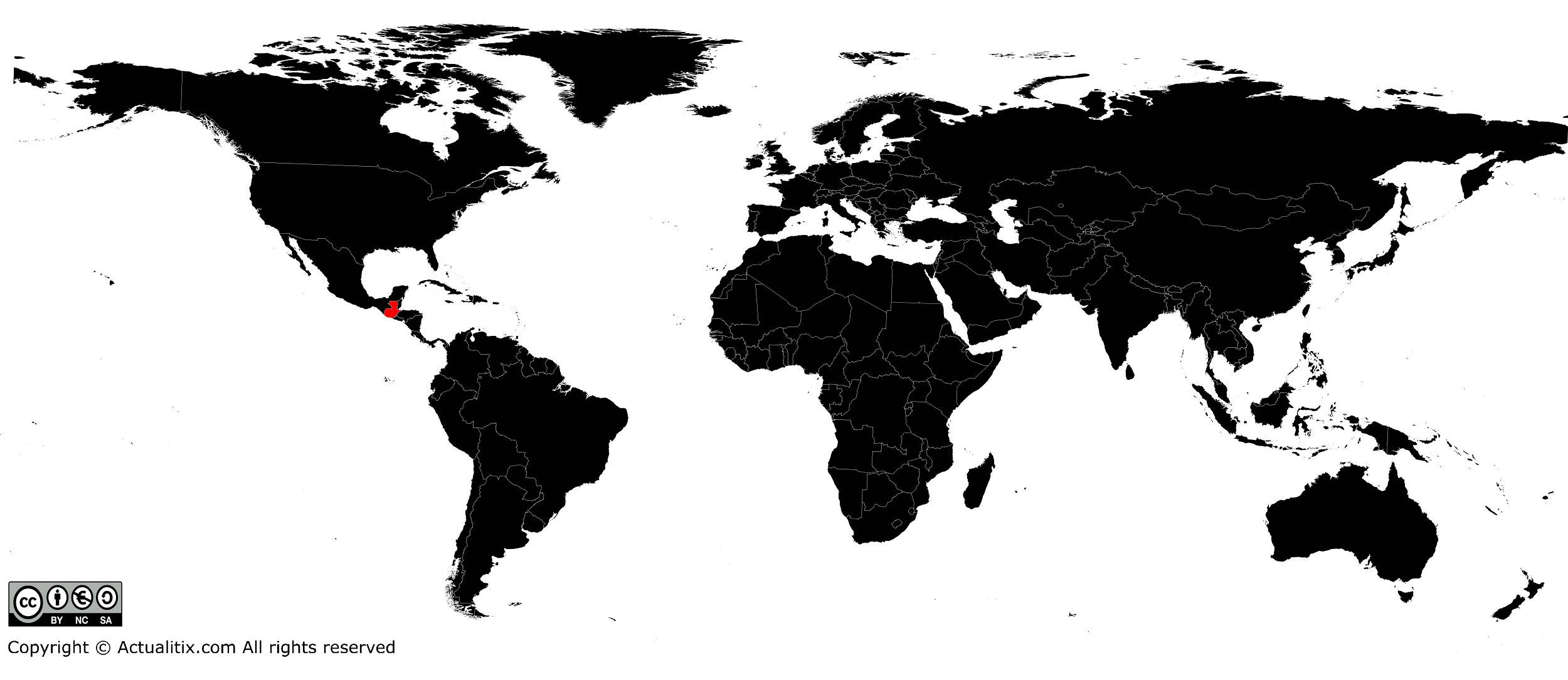
As can be seen on the map of Guatemala, the country is located on the edge of Mexico and is the westernmost nation in Central America. It is bordered to the east by Belize, Honduras, El Salvador and the Caribbean Sea. Its southern coastline is washed by the Pacific Ocean. Guatemala covers an area of more than 100,000 square kilometers.
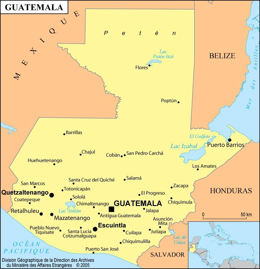
Table of contents
Geography with the map of Guatemala
The topography is highly diverse and the main mountain ranges run from east to west. Those rising in the south of the country are of volcanic origin. Several extinct or active volcanoes stretch from the Mexican border to El Salvador.
They are followed in the south by a narrow coastal plain along the Pacific, characterized by extremely fertile volcanic soils. At 4,220 meters above sea level, Tajumulco (easily identifiable on the map of Guatemala) is the highest peak in Central America. The shores of Lakes Atitlán and Amatitlán are famous for the beauty of their landscapes.
The north of the country is occupied by a plateau of volcanic origin, geologically older than the volcanoes that precede it. Its average altitude is around 1,500 meters but increases in the western part, in the Los Altos region.
The seven largest cities of Guatemala are concentrated in the part of the country where volcanic activity is most intense.
The central region
The center of the country is marked by alternating mountain massifs and valleys stretching from the Mexican border to Honduras. In the west, the Cuchumatanes massif, the highest in Central America, reaches an altitude of 3,000 meters. In the east, the Chuacús, Chama and Las Minas mountain ranges are much lower.
Although the valleys and mountainous areas of the center have significant mining and forestry potential, they remain isolated from the rest of the country and are therefore sparsely populated. The Motagua River drains the largest of these valleys and connects Guatemala City, the capital, to the port of Puerto Barrios on the Caribbean coast.
The north of the country is called Petén by its inhabitants. It is an isolated region with a very sparse population and poorly served by road infrastructure. The soils are limestone-based and not very fertile. However, forests are very dense and this region is famous for the magnificence of its Mayan ruins.
Climate
Except for the Caribbean coast and most of Petén, where rainfall is abundant throughout the year, the rest of the territory has a climate alternating between humid and very dry. The rainy season begins in May and ends in November. During the rest of the year, rainfall is almost nonexistent. Temperatures and rainfall vary according to altitude.
In the southern mountains facing the Pacific Ocean and on the northern slopes of the Cuchumatanes massif, annual rainfall can reach 380 centimeters. Surrounded by high mountains, the Motagua Valley receives less than 50 centimeters per year.
The coastal plains have a relatively warm climate. In Guatemala City, at nearly 1,500 meters above sea level, temperatures remain mild throughout the year, earning it the nickname “the city of eternal spring.” In the Los Altos and Cuchumatanes regions, above 2,400 meters, temperatures are cooler and remain around 16°C all year.
Guatemala is frequently struck by devastating and deadly hurricanes. In 1902, the city of Quetzaltenango was completely destroyed by an earthquake, and the eruption of the Santa María volcano caused the destruction of many coffee plantations. The capital was partially destroyed by several earthquakes in 1917 and 1976.
Vegetation and flora
Forests and woodlands cover approximately one quarter of the territory. They are concentrated in the Petén region in the north and in the high mountain ranges of the center of the country. In the south, they are limited to the highest mountain areas.
At these altitudes, the most common species are pines and oaks. Tropical forests mainly occupy the northern plains. Except for mangroves and marshes along the coast, the original vegetation has almost completely disappeared from the Pacific coastal plain. Although reforestation has become a major government objective, deforestation continues intensively throughout the territory.
Forests produce charcoal, timber and fuel. Spanish cedar is used for the color of its bark in marquetry work.
Deforestation has led to the destruction of most natural habitats. Jaguars, monkeys and parrots are now found mainly in the north of the country. The multicolored quetzal is the national bird of Guatemala.
The lagoons and oceans surrounding the country host rich marine wildlife. Despite this potential, commercial fishing remains underdeveloped. The port of Champerico is the home port of vessels specialized in shrimp fishing.
