In this article you will find a map of Gabon. The country is located in Equatorial Africa and covers an area of 267,670 square kilometers.
Geography with the map of Gabon
As shown on the map of Gabon, the country is bordered by Equatorial Guinea and Cameroon to the north, by the Republic of the Congo to the south and east, and by the Atlantic Ocean to the west. Libreville, the capital, is located on the coast near the Gabon estuary. In 2012, it had nearly 850,000 inhabitants.
A vast plateau, with an altitude ranging between 300 and 600 meters, occupies most of the territory. It is overlooked by several mountain ranges. Mount Iboundji (see the country map), the highest peak in Gabon, rises to 980 meters above sea level.
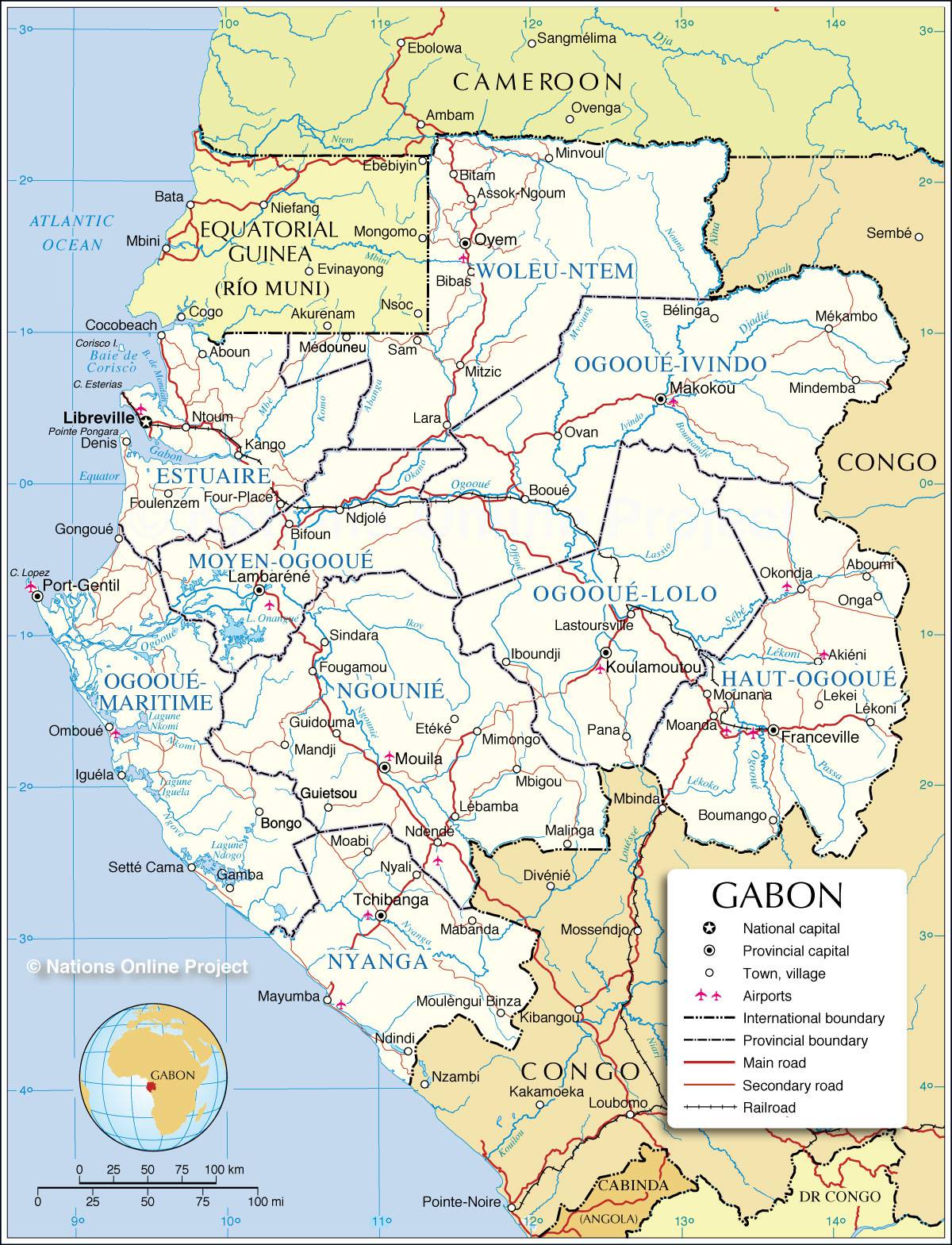
Map of Gabon – Credit: Nation Online
The coastal plains extend inland for 30 to 190 kilometers. The country is almost entirely covered by dense tropical rainforest. The Ogooué River, Gabon’s largest river, crosses the center of the country in a semicircular arc before flowing into the Atlantic Ocean near Port-Gentil.
The climate remains hot and humid throughout the year. Average annual rainfall ranges from 305 centimeters in Libreville to 380 centimeters in the northwest of the country.
Gabon is home to more than 40 different ethnic groups, including the Fang and the Mpongwe peoples. Bantu languages are widely spoken, but French was chosen as the official language due to Gabon’s former colonization by France.
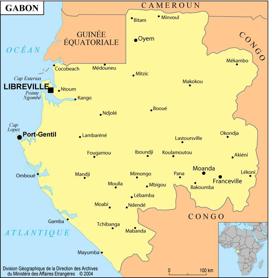
Map of cities in Gabon
Economy of Gabon
Gabon’s industry was based on forestry until the exploitation of mineral resources began in the 1960s. Gabon mainly exports okoumé, a type of mahogany found only in this part of the world, as well as ebony and kevazingo.
Mineral resources are highly diversified and include manganese, oil, natural gas, and uranium. In the 1970s, oil dominated Gabon’s mineral exports, but its economic importance declined significantly after the drop in global oil prices in the 1980s.
Cassava, plantains, sugar cane, maize, peanuts, bananas, and cocoa are the main crops grown in the country. Coffee and cocoa production is mainly intended for export.
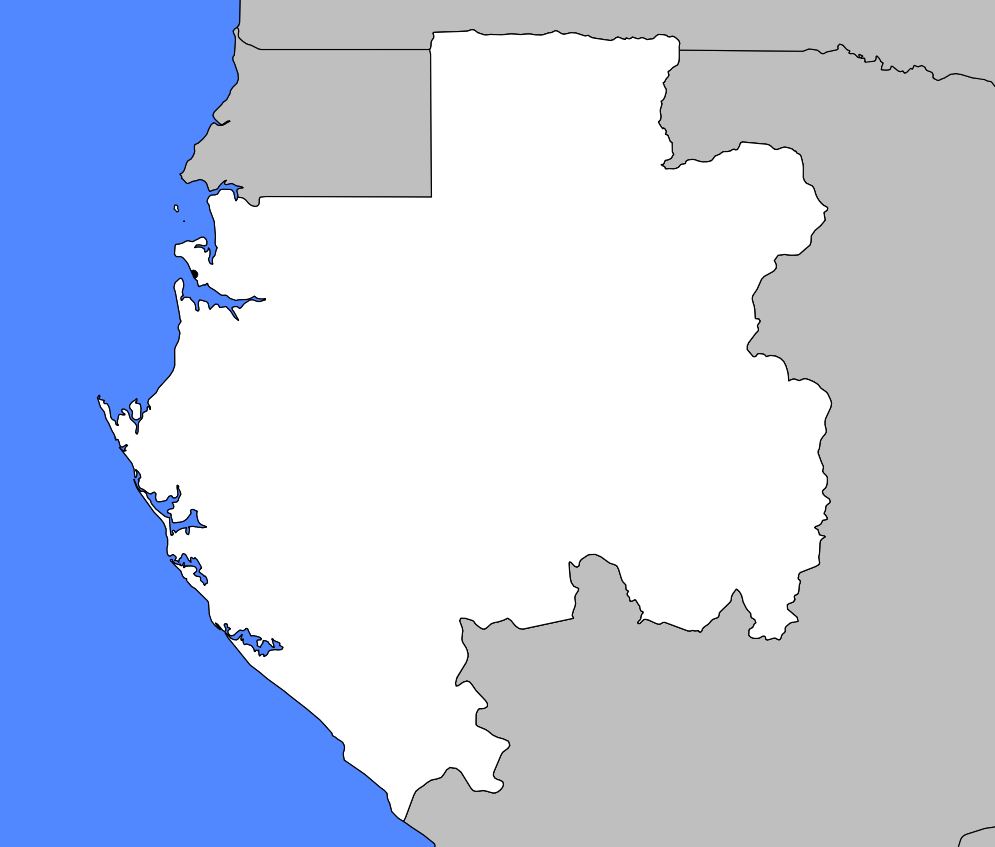
Blank map of Gabon
Industry represents a small share of the gross national product, but this sector has been expanding since the commissioning in 1967 of an oil refinery near the capital. The construction of the large Kinguélé dam, not far from Libreville, has increased national hydroelectric production.
Like most other African countries, Gabon faces difficult health conditions. Improving medical care for the population has been an important government objective in recent years. Health services have largely been inspired by the example of the famous physician Albert Schweitzer, who was among the first Europeans to open a hospital in Gabon in the 20th century.
The coastline, visible on the map of Gabon, was first explored by Portuguese traders in the 15th century. Gabon later became a colony of French Congo in 1886, then a territory attached to French Equatorial Africa in 1910. It finally gained independence on August 17, 1960.
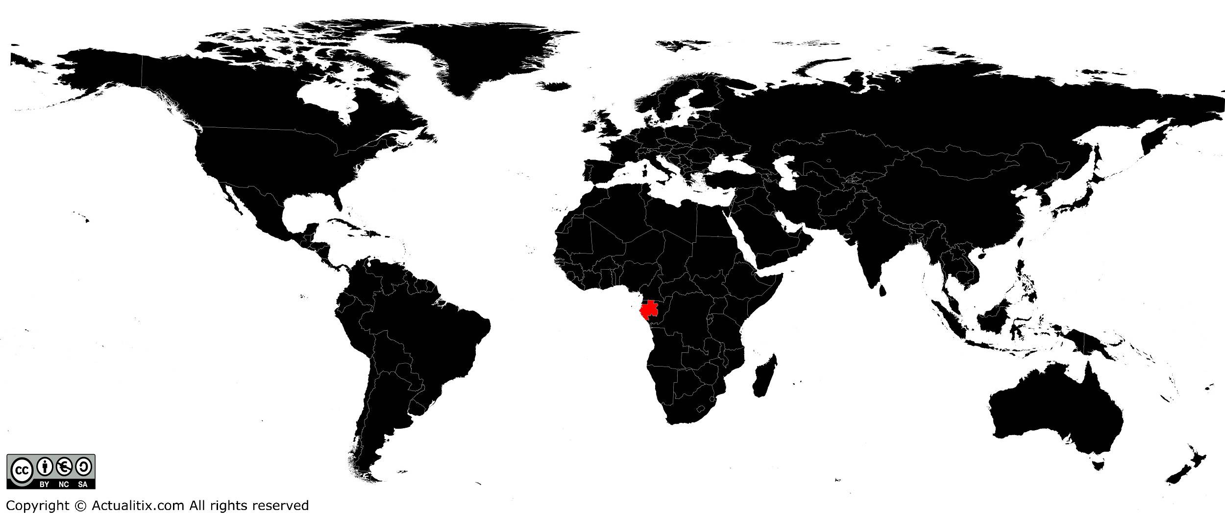
Gabon on a world map
You can discover all available maps for different countries of the world on this page.
