Discover a map of Luxembourg. The Grand Duchy of Luxembourg covers an area of 2,585 square kilometers. It is bordered by Belgium, Germany, and France. Despite its small size, it plays an important diplomatic role and has succeeded in becoming one of the world’s largest producers of iron and steel.
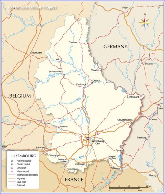
Luxembourg map – Credit: Nations Online
The country can be divided into two distinct regions. The south and the center are famous for the fertility of their soils, which has earned them the nickname “Good Country.” The capital, Luxembourg City, is located in this region, which is also the most populated and industrialized.
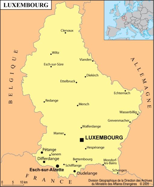
Luxembourg map – Credit: Ministry of Foreign Affairs
Details about the map of Luxembourg
The north of the country is occupied by the vast Ardennes plateau (as shown on the map of Luxembourg), where magnificent castles stand, making the landscapes very picturesque. The country’s highest point, Buurgplaatz, rises in the north to 559 meters above sea level. The climate is humid and mild. In the capital, temperatures average around 17°C in July and 1°C in January. They rarely exceed 31°C and generally never drop below -9°C.
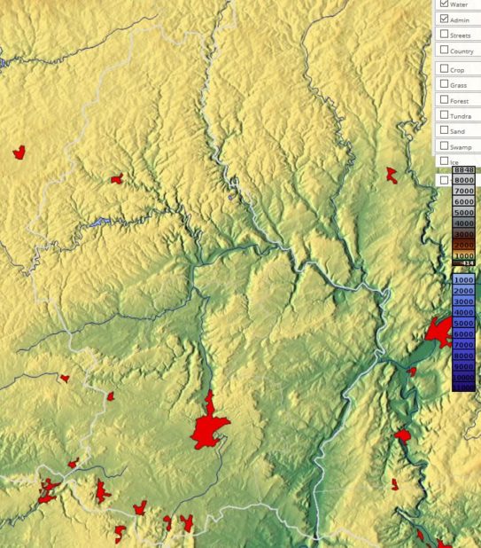
Relief map of Luxembourg – Image extracted from maps-for-free
Population in Luxembourg
In recent years, rural exodus has intensified. The capital had nearly 75,377 inhabitants in 1991. Esch-sur-Alzette and Differdange, located in Luxembourg’s major steel-producing area near the French border, had populations at that time of 24,012 and 15,699 respectively.
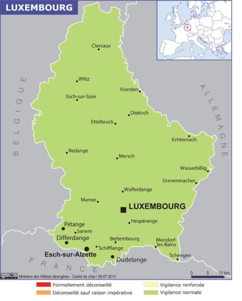
Map of Luxembourg cities – Credit: Ministry of Foreign Affairs
One out of four inhabitants is foreign. The main foreign communities consist of Italians and Portuguese, as well as French, Belgians, and Germans. To promote industrial development during the 20th century, the government strongly encouraged immigration.
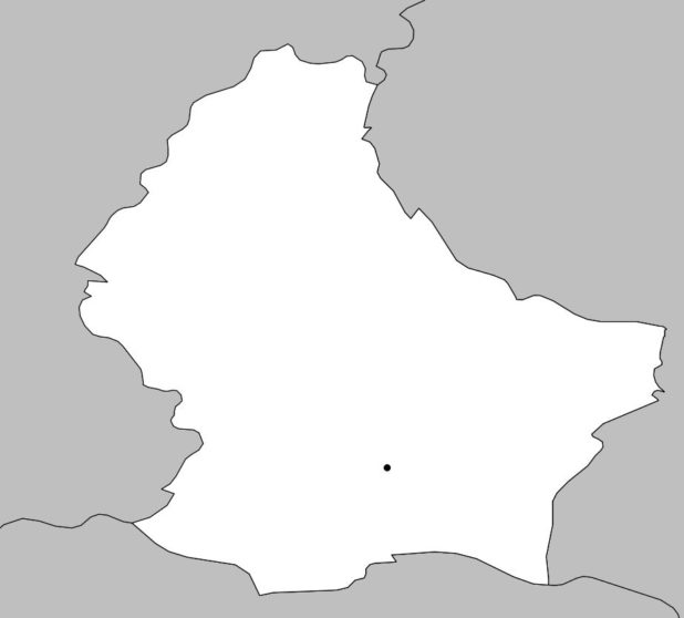
Blank map of Luxembourg – Credit: Actualitix
This policy, combined with a low birth rate, explains why nearly two-thirds of the population is of working age. Luxembourg therefore enjoys a high standard of living. Nearly 95% of Luxembourgers are Catholic. Jewish and Protestant communities are relatively small. Below, you will find another map of Luxembourg.
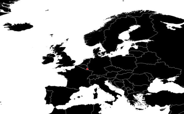
Luxembourg on a map of Europe – Credit: Actualitix
Luxembourgish is a Germanic dialect influenced by both French and German. These two languages are widely used in government, the press, and commerce. Education is provided in French and German, or in English at the university level.
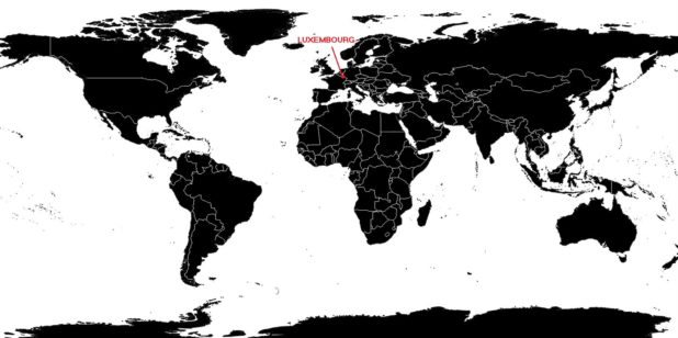
Luxembourg on the world map – Credit: Actualitix
There are several music conservatories in the capital and in Esch-sur-Alzette. The Museum of Folk Arts and the Victor Hugo Museum, located in Vianden in the Ardennes, present the main aspects of Luxembourgish culture. The Grand Ducal Institute organizes numerous artistic, archaeological, historical, and scientific exhibitions.
