In this article you will find a map of Guinea-Bissau. After proclaiming its independence, the former Portuguese colony of Guinea took the name Guinea-Bissau and Bissau became the capital.
Geography with the map of Guinea-Bissau
This small West African nation is very poor and covers an area of 36,120 square kilometers. It also includes the Bijagós Archipelago, located off the coast southwest of Senegal. As shown on the map of Guinea-Bissau, the country is bordered to the north by Senegal, to the east and south by Guinea, and to the west by the Atlantic Ocean.
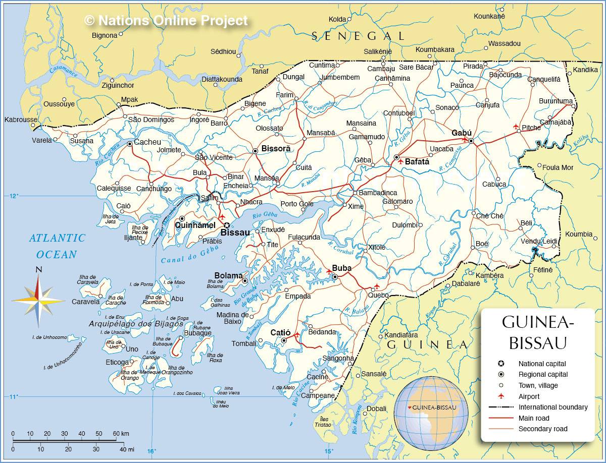
Guinea-Bissau map – Credit: Nations Online
Climate
Despite its small size, the country can be divided into three regions: the coastal plains, the large inland plain, and the northeastern highlands (see the map of Guinea-Bissau). The heaviest rainfall is recorded along the coast, reaching 254 centimeters per year.
Annual rainfall is much lower in the mountainous regions, where it does not exceed 130 centimeters. Tropical crops (sugarcane and rice) are mainly grown along the coast. In the savannah that occupies the interior, farmers cultivate crops that require no irrigation, such as millet, sorghum, and cotton.
Population of the country
The four largest ethnic groups in the country are the Balanta, Fulani, Mandyako, and Malinke. Portuguese is the official language, but Crioulo (a mix of Portuguese and African dialects) is spoken throughout the country. More than half of Guineans remain faithful to their traditional beliefs, although the number of Muslims is steadily increasing.
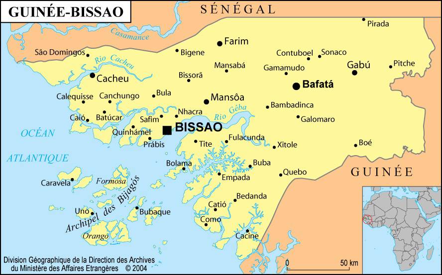
Map of cities in Guinea-Bissau
Economy
Guinea-Bissau is primarily an agricultural country. Agriculture employs more than 70% of the workforce. Since a large part of the territory lies within the Sahel region, harvests depend on highly irregular rainfall. Rice and fruit lead national agricultural production, complemented by peanuts, cassava, sugarcane, plantains, sweet potatoes, and coconuts.
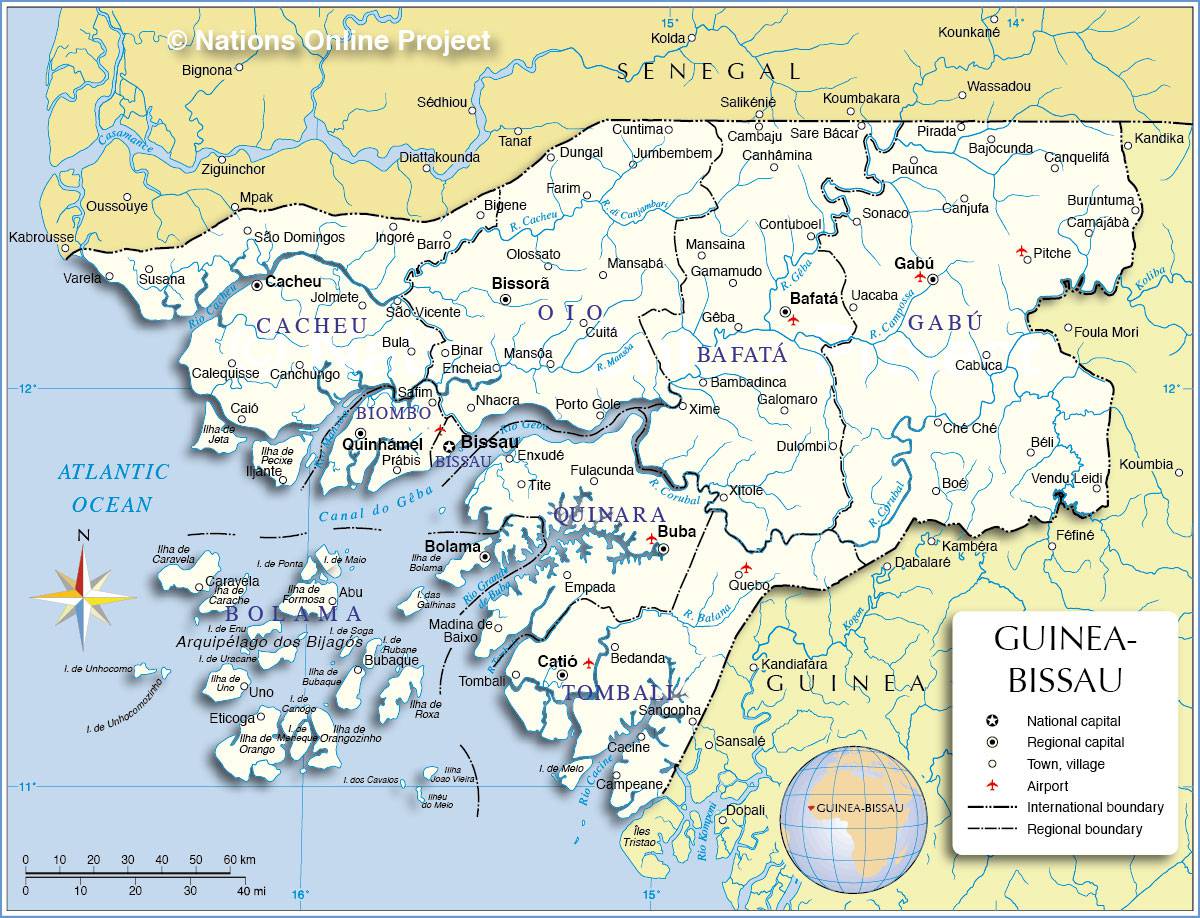
Map of Guinea-Bissau – Credit: Nations Online
However, Guinea-Bissau is forced to import large quantities of cereals to meet domestic demand. The nomadic Balanta tribes specialize in livestock farming (cattle, pigs, sheep, and goats), but dairy product imports remain significant.
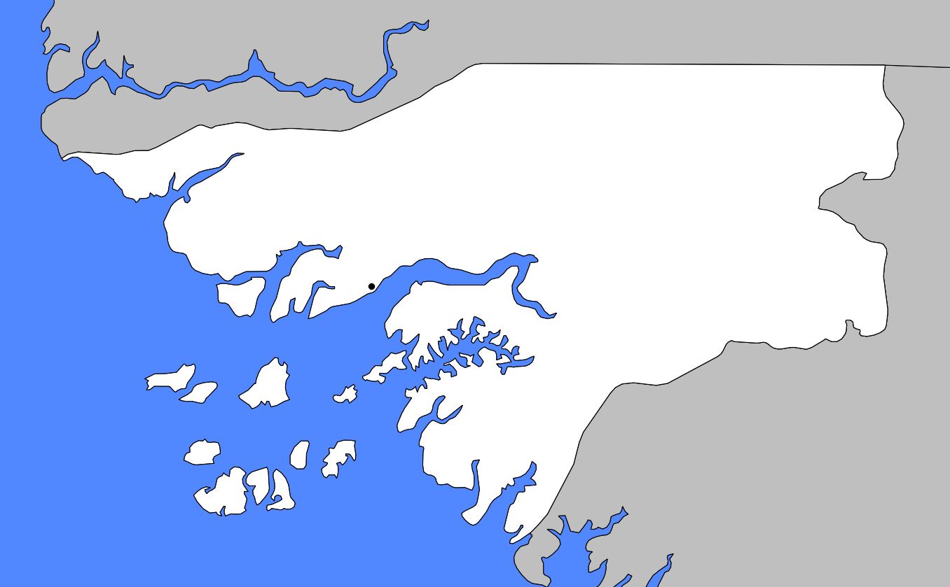
Blank map of Guinea-Bissau
As forests cover nearly 38% of the territory, wood is by far the most widely used fuel. Timber production supplies the wood industry, and part of the output is exported. You can consult the map of Guinea-Bissau to explore its relief.
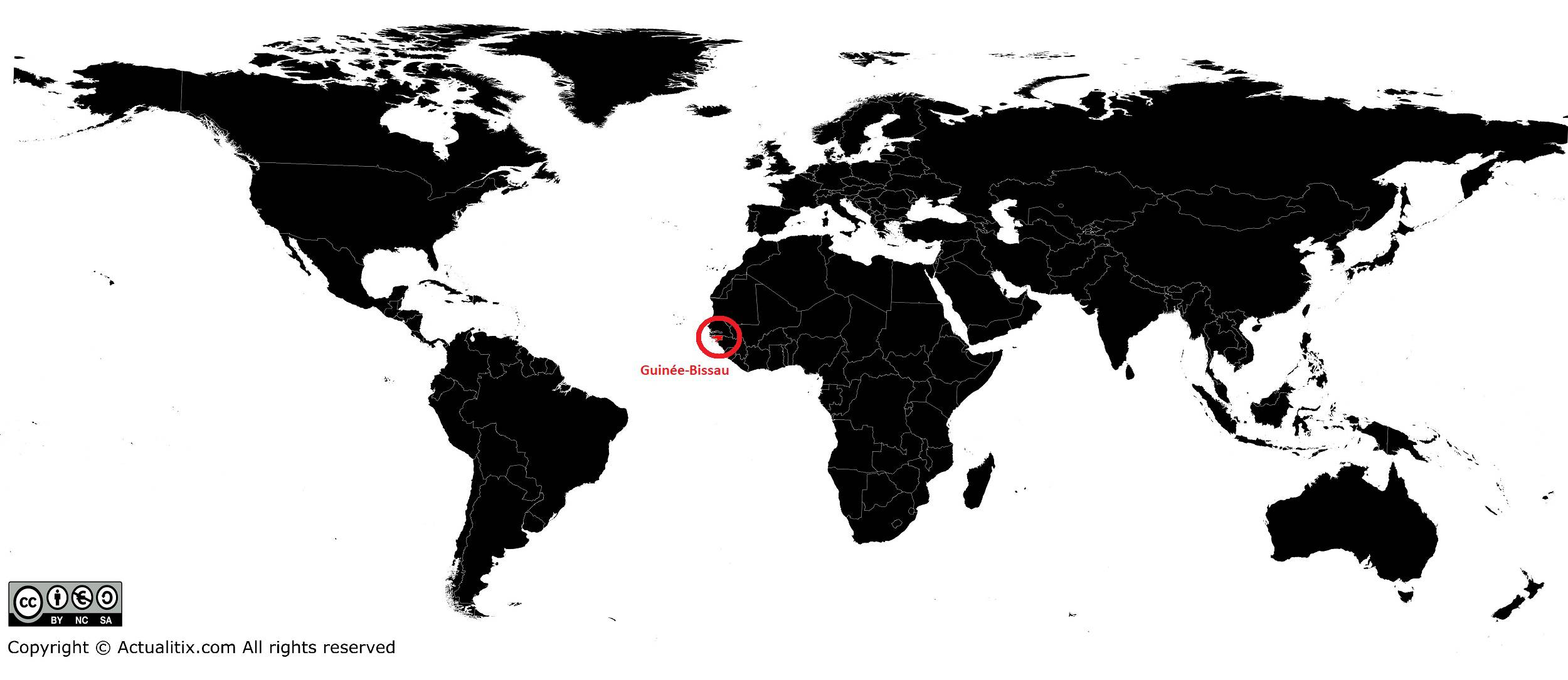
Guinea-Bissau on a world map
