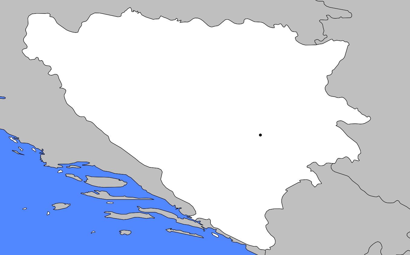
This article presents a map of Bosnia and Herzegovina, located in the western part of the Balkan Peninsula. It is bordered to the north, west, and south by Croatia, to the southwest by the Adriatic Sea
, and to the east by Serbia and Montenegro. The country covers an area of 51,233 square kilometers. The largest city and the capital of the country is Sarajevo.
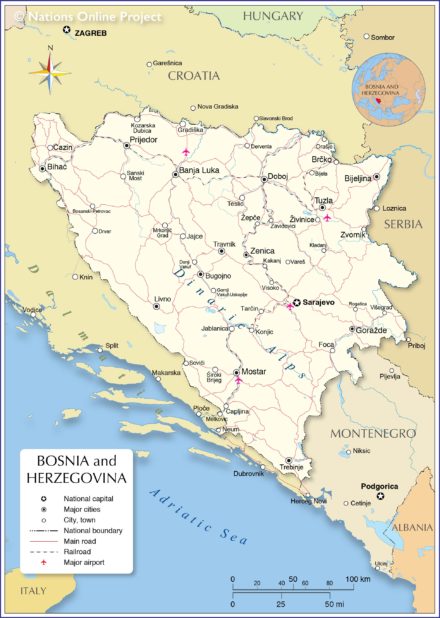
Map of Bosnia and Herzegovina – Credit Nations Online Project
Geography with the map of Bosnia and Herzegovina
As shown on the map of Bosnia and Herzegovina, the country is mainly mountainous. The Dinaric Alps lie to the west, the Bjelasnica Mountains to the south, and the Majevica Mountains to the east. The Sava River, which forms the border with Croatia, and the Bosna River, from which the country takes its name, are the main rivers.
Bosnia and Herzegovina map
A bit of history about the country
Bosnia and Herzegovina was inhabited by Slavs at the beginning of the 7th century. The region was later dominated by the Byzantine Empire, Croatia, Serbia, and then Hungary, which confirmed its control over the area in the 12th century.
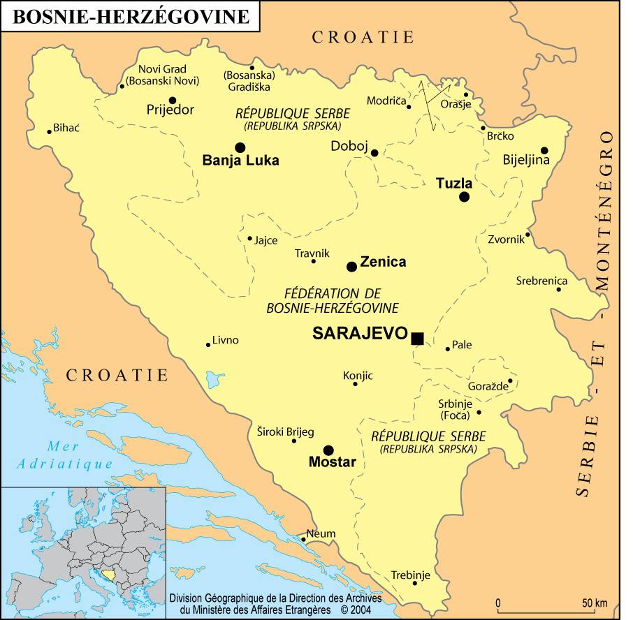
Map of cities in Bosnia and Herzegovina – Credit: Ministry of Foreign Affairs
The Ottoman Turks first invaded Bosnia in 1386 and completed their conquest in 1463. Many Bosnians, including a large majority of landowners, converted to Islam after the conquest, since Ottoman law allowed only Muslims to own land. Serbs and Croats who remained Christian were reduced to the status of peasants.
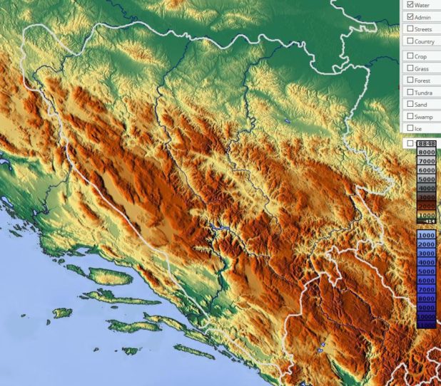
Relief map of Bosnia and Herzegovina – Image extracted from maps-for-free
Religions
Freedom of religion was practically their only right. The decline of the Ottoman Empire in the 18th and 19th centuries increased ethnic tensions between the prosperous Muslim landowning class and the Christian Serbian and Croatian peasants.
Blank map of Bosnia and Herzegovina
In 1875, Bosnian Christians rose up against Ottoman authority with the help of Serbia, which hoped to control the region. Austria-Hungary temporarily took control of Bosnia in 1878 with the approval of other European powers, and officially annexed it in 1908. The new rulers did not address the exploitation of Christian Serbs and Croats by Muslim landowners, and their favoritism toward Catholic Croats at the expense of Orthodox Serbs only worsened ethnic tensions.
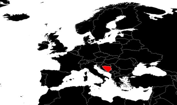
Bosnia on a map of Europe – Credit Actualitix
Bosnian Serbs began protesting against Austro-Hungarian domination, and in June 1914, a young Bosnian Serb assassinated Archduke Franz Ferdinand in Sarajevo. This act triggered a war between Serbia and Austria-Hungary, which quickly escalated into World War I.
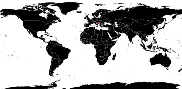
Bosnia on a world map – Credit Actualitix
After the war, Bosnia and Herzegovina was incorporated into the Serbian kingdom that also included Croats and Slovenes. In 1929, this kingdom became known as Yugoslavia. Muslim landowners were expropriated. When the Axis powers dismantled Yugoslavia during World War II, Bosnia and Herzegovina was incorporated into Croatia, then under Nazi control. A civil war broke out among the three ethnic groups of Bosnia. The conflict ended in 1946, when Bosnia and Herzegovina became one of the six republics of Yugoslavia.
