In this article you will find a map of Liberia. It is a small country located on the western coast of Africa, and Liberia has been influenced throughout its history by the United States.
In 1822, the American Colonization Society, created by American philanthropists, decided to establish in Liberia a colony for freed slaves.
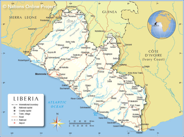
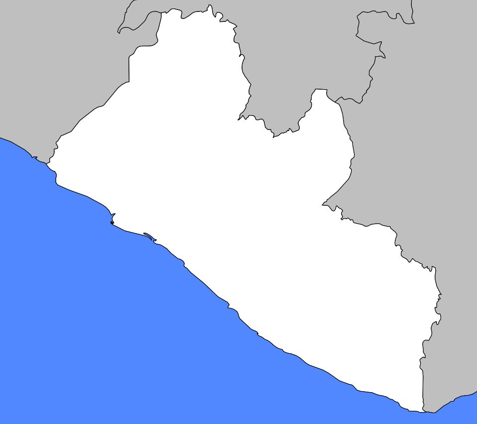
Map of Liberia – Credit Nations Online Project
They named the capital Monrovia (which can be seen on the map of Liberia) after U.S. President James Monroe. For African Americans, Liberia holds historical importance. As Africa’s oldest republic, founded by former American slaves, Liberia served as a model for many African countries fighting for independence.
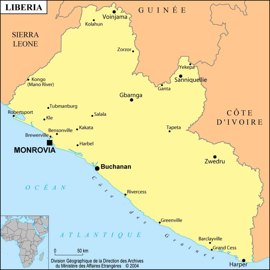
Liberia map – Credit: Ministry of Foreign Affairs
Geography and climate with the map of Liberia
With a total area of 111,370 square kilometers, the country is covered by tropical forests, except along the coast, where savannah and swamps predominate. Temperatures remain high throughout the year.
Liberia has a dry season from November to April and a rainy season from May to October. Average rainfall reaches 508 centimeters along the coast and 178 centimeters inland. The environment is suitable for growing rubber trees, coffee, cocoa, palm trees, and bananas.
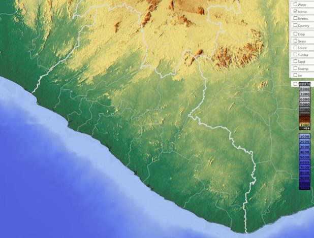
Relief map of Liberia – Image extracted from maps-for-free
The country is home to diverse wildlife and flora. There are more than 100 species of mammals. Big cats, particularly leopards, as well as elephants, are endangered. However, monkeys, chimpanzees, and antelopes are abundant. There are also more than 100 species of birds, including eagles, hawks, and kites.
Map of cities in Liberia – Credit: Ministry of Foreign Affairs
Liberians of African American descent live along the coast and represent about 5% of the country’s 4.6 million inhabitants. You can see the distribution of cities on the map of Liberia. The majority of the population belongs to the Kpelle, Bassa, Grebo, Gio, Kru, and Mano ethnic groups. Christians make up 68% of the population, Muslims 14%, while 18% practice traditional African religions.
Blank map of Liberia – Credit Actualitix
Economy
The main economic activity is agriculture, employing more than 68% of the population. The country produces rice, cassava, sugarcane, palm oil, bananas, and sweet potatoes. Liberia’s economy relies heavily on imports of raw materials from foreign countries.
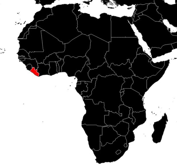
Liberia on a map of Africa – Credit Actualitix
The main export is iron ore from large deposits located near the Guinean border, most of which is shipped to the United States. Timber is the second most important export product.
The road network has been significantly improved since the 1950s, when roads were mainly built to serve plantation needs.
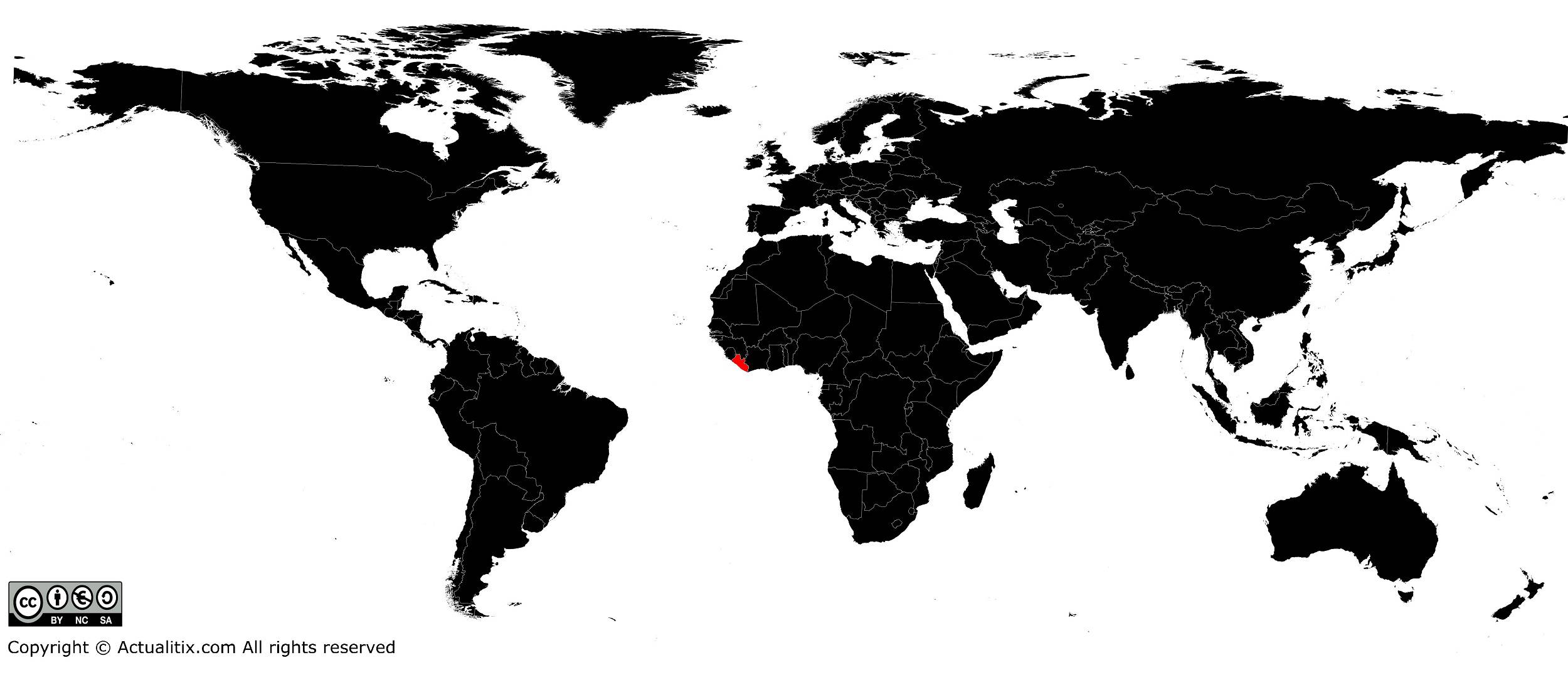
Liberia on a world map – Credit Actualitix
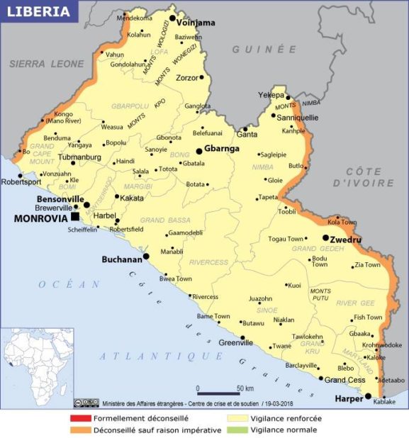
There is only one railway line (which you can also see on the administrative map of Liberia), owned by foreign mining companies. The telecommunications network, established at the beginning of the 20th century, was one of the first to be set up in Africa.
