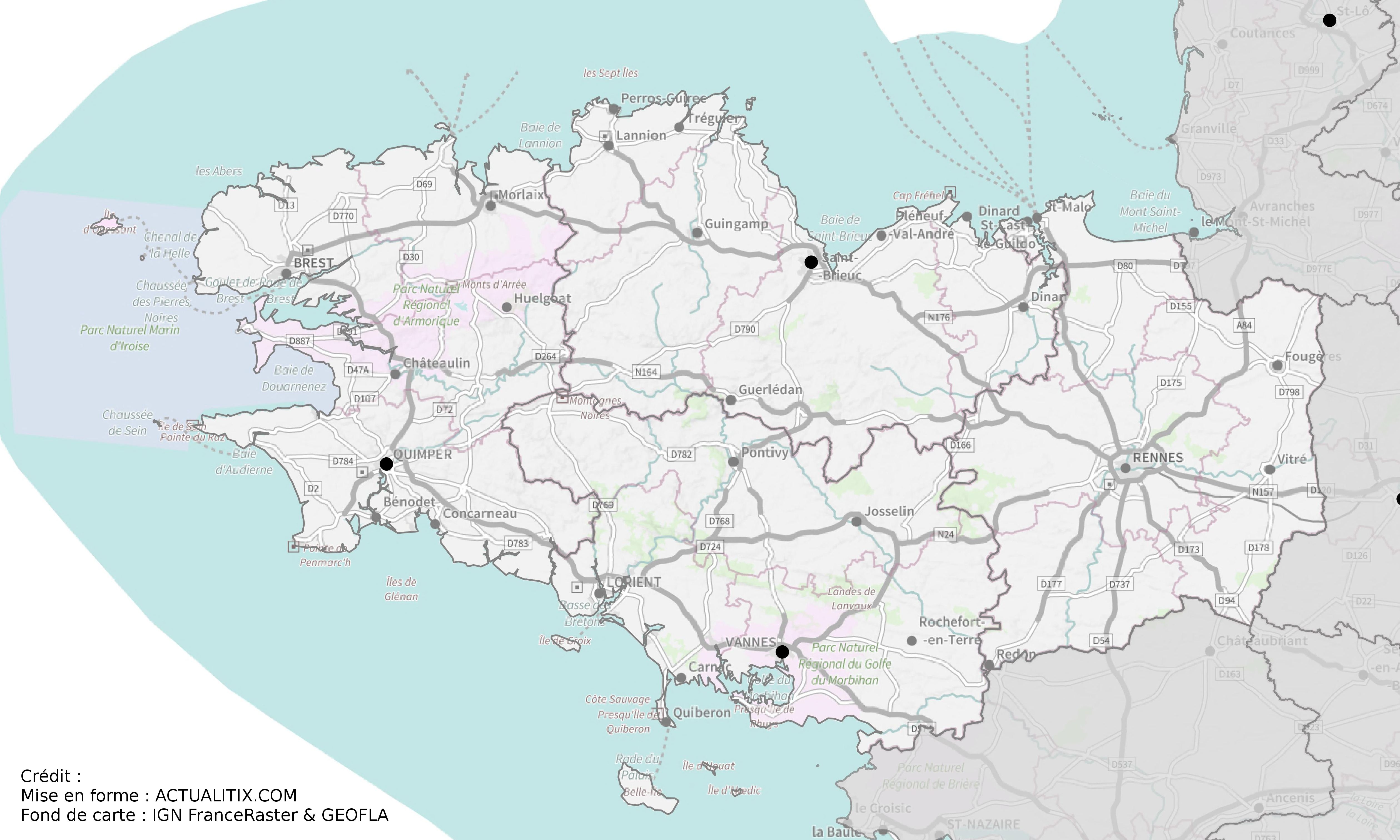
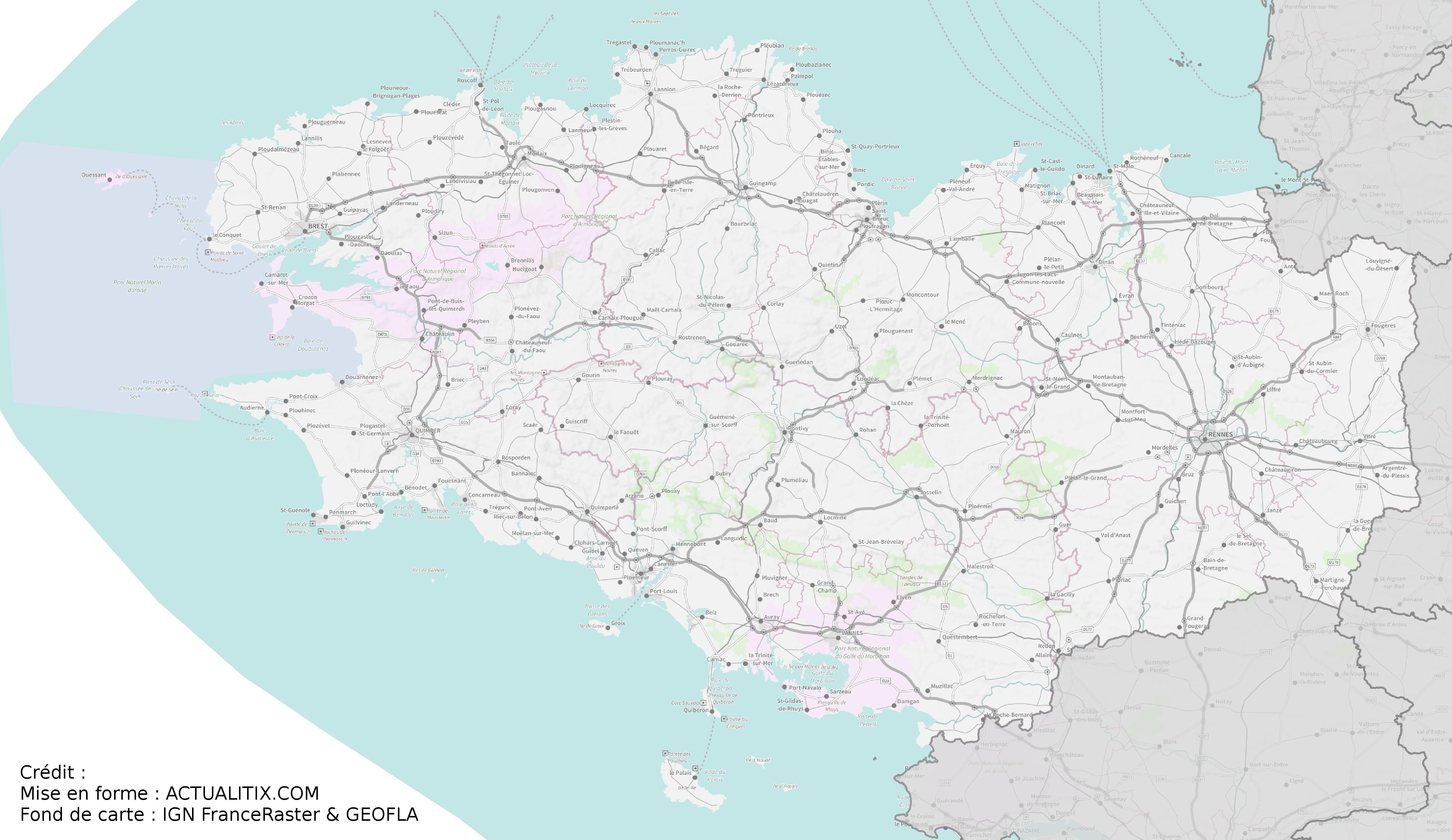
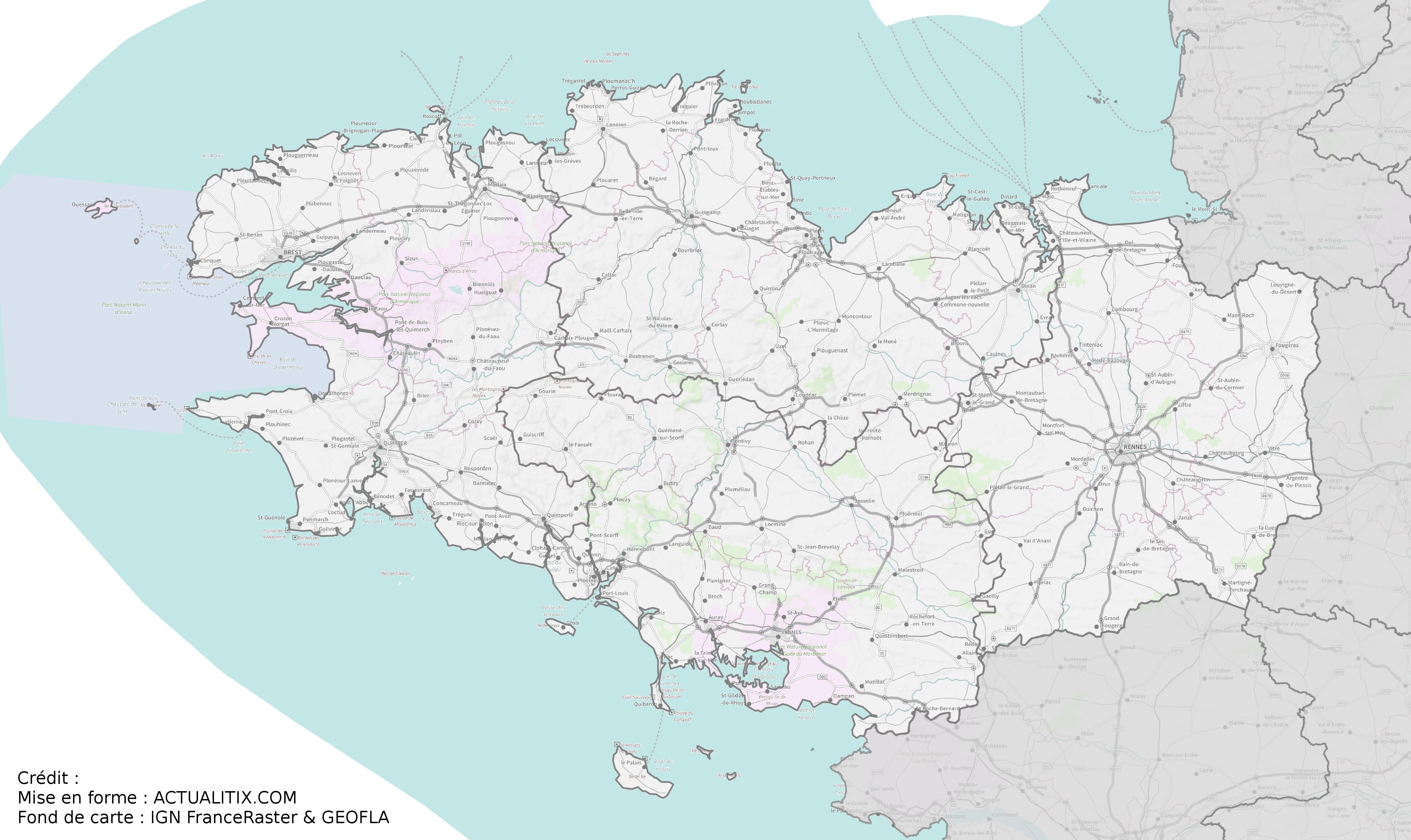
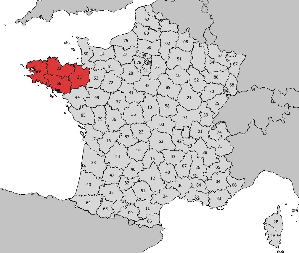
Discover a map of administrative Brittany (not to be confused with historical Brittany). One of the main characteristics of the many and varied landscapes of Brittany is that the region is bordered by the sea, with nearly 2,730 kilometers of coastline, giving it a natural advantage.
Brittany’s landscapes are often considered those of a peninsula located at the western tip of the Eurasian continent.
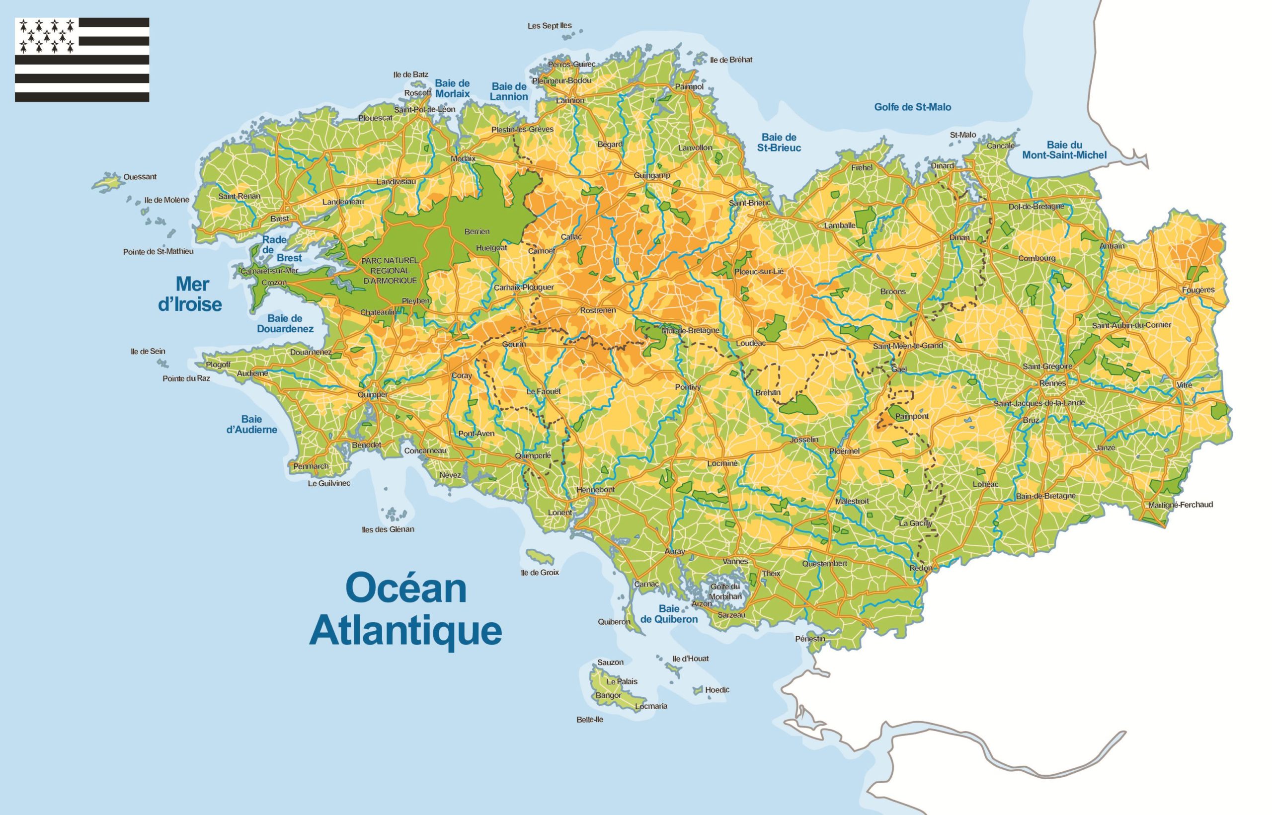
Table of contents
- Relief on the map of Brittany
- Climate in Brittany
- Tourist sites
- Emerald Coast
- Pink Granite Coast
- Finistère Coast
- Morbihan Coast
Relief on the map of Brittany
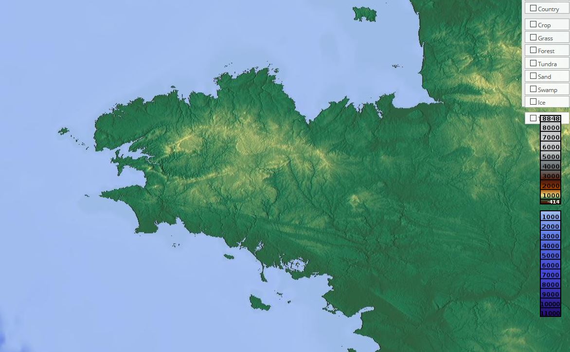
The relief, as seen on the map of Brittany, is mainly composed of plateaus, hills, and ridges with varying elevations. This gives the region a distinctive character. Altitudes are generally modest due to erosion; the highest peaks reach less than 400 meters.
The Brittany region is therefore mainly made up of gently elevated landscapes with soft and gradual slopes. Locally, renewed erosion in these rocks shapes the valleys, creating a sense of hollows within the scenery.
Climate in Brittany
Brittany has an oceanic climate, with low temperature variations and fairly constant rainfall throughout the year. This explains the famous saying that it always rains in Brittany. However, sea winds quickly drive away rainfall.
These frequent rains give the region lush green landscapes set against ever-changing skies shaped by the wind.
The climate plays a key role in shaping Brittany’s landscapes for two main reasons: it directly influences vegetation, agriculture, and economic activities, and it creates varied scenery through changing light, mist, drizzle, and the sound of the wind.
Tourist sites
There are many tourist sites in Brittany, as shown on the map. First and foremost, the region has a remarkable coastline with numerous beaches, typical fishing villages, and islands.
Over the centuries, the region has built a rich heritage that can be admired in its towns and villages.
The region is also home to prehistoric monuments considered among the most beautiful in the world. It is difficult to provide an exhaustive list of tourist sites in Brittany, as these are only some of the main reasons why many visitors explore the region each year.
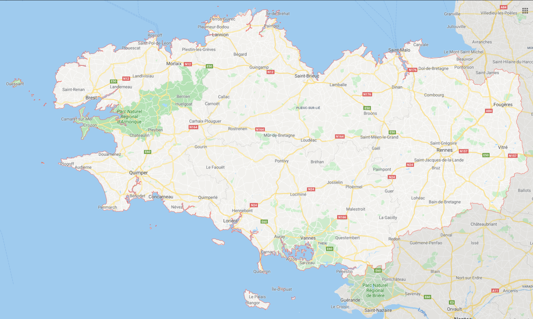
Emerald Coast
The Emerald Coast refers to the coastline around the towns of Dinard and Cancale in northeastern Brittany.
Pink Granite Coast
The Pink Granite Coast is located in the Côtes-d’Armor department, around Perros-Guirec and Cap Fréhel. Nearby, visitors can discover Fort La Latte and Trégastel.

Finistère Coast
The Finistère coast is very well known. Visitors can enter the department via Locquirec and explore western Brittany, including highlights such as Bénodet, Morgat, and the Crozon Peninsula at the far western end of the peninsula.
Morbihan Coast
This coastline is located in southern Brittany. Visitors can discover Quiberon and its magnificent peninsula (with Carnac), leading to the Gulf of Morbihan. From there, it is easy to reach the islands of Île d’Arz and Île aux Moines.
