This article presents one (or several) maps of Argentina. The country is the second largest in Latin America after Brazil and the fourth most populous after Brazil, Mexico and Colombia. With an area of more than 2.7 million square kilometers, it stretches from the Tropic of Capricorn to the southern tip of the continent, about 1,100 kilometers from Antarctica.
Argentina claims a portion of that continent as well as the Falkland Islands (Islas Malvinas) and a few islands in the South Atlantic. The country is bordered by Chile to the west, by Bolivia and Paraguay to the north, and by Brazil, Uruguay and the Atlantic Ocean to the east.
Table of contents
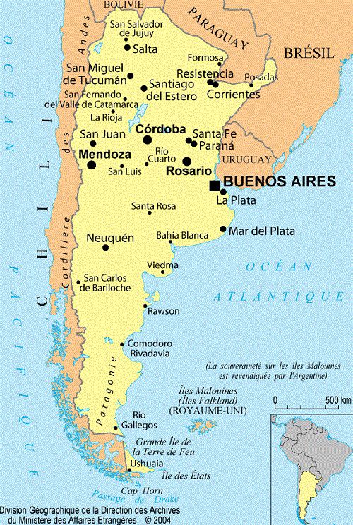
Map of Argentina – Credit: Ministry of Foreign Affairs
As you can see on the map of Argentina, Argentina’s landscape stretches from the Andes mountain range in the west to the Atlantic coast in the east. The border with Chile in the west follows the Andes ridge, where peaks reach 6,000 meters in the north and less than 1,500 meters in the far south of the continent, in Tierra del Fuego. One of these peaks, Aconcagua (6,959 m), is the highest point in South America. The Andes range in Argentina is about 560 kilometers wide in the north and 320 kilometers wide in the south. A chain of artesian oases runs along the eastern foothills.
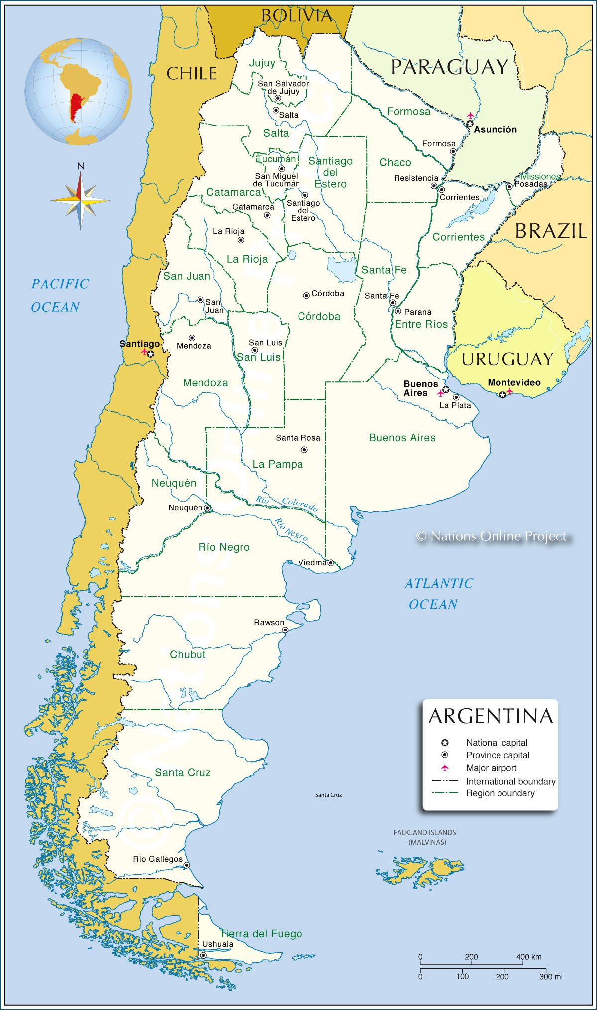
Argentina map – Credit: Nations Online
Map of Argentina: famous regions
The map of Argentina on the left shows the country’s provinces. Below you’ll find a short presentation of three very well-known regions.
The Gran Chaco is an arid plateau located east of the northern Andes. It is a region of steppe and grassy savannas. Mesopotamia is a region in the east, wedged between the Paraná and Uruguay rivers. It is covered by subtropical pine forest and fertile plains where rice, oranges and flax are grown.
The Pampas lie south of the Gran Chaco and Mesopotamia. It is a plain broken up by a few hills or sierras. For millions of years, the Pampas were covered with loess—fertile wind-borne particles—and alluvium left behind by water. The Pampas are the home of Argentina’s gauchos.

Blank map of Argentina
Patagonia, Argentina’s largest region, lies south of the Colorado River. It stretches from the Pampas to Tierra del Fuego. It was named in 1520 by the Portuguese explorer Ferdinand Magellan while he was sailing around the world for Spain. The landscape is dominated by the Andes to the west and by plateaus that extend eastward toward the Atlantic, forming cliffs along the coastline. The climate there is dry and windy.

Map of Argentina’s cities – Fotolia license
Map of Argentina: discovering the rivers
You can see on the map of Argentina that the country’s hydrographic network is extensive. The northeast of the country is drained by the Paraguay and Paraná rivers, which rise on Brazil’s central plateau. The Upper Paraná is home to the famous Iguaçu Falls. The Uruguay River, in the northeast, forms part of the border between Argentina, Uruguay and Brazil.
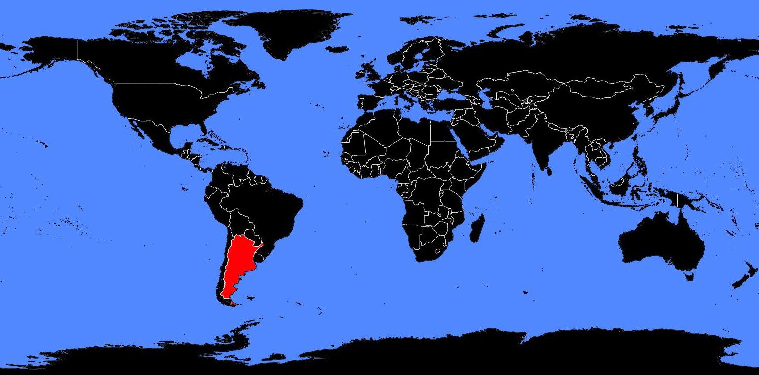
Argentina on a world map
These three rivers and their Andean tributaries—the Pilcomayo, Bermejo and Salado—flow into the Río de la Plata, an estuary between Argentina and Uruguay. The Colorado, Negro, Chubut, Deseado, Chico and Santa Cruz are the most important rivers in central and southern Argentina. They all originate in the heights of the Andes.
