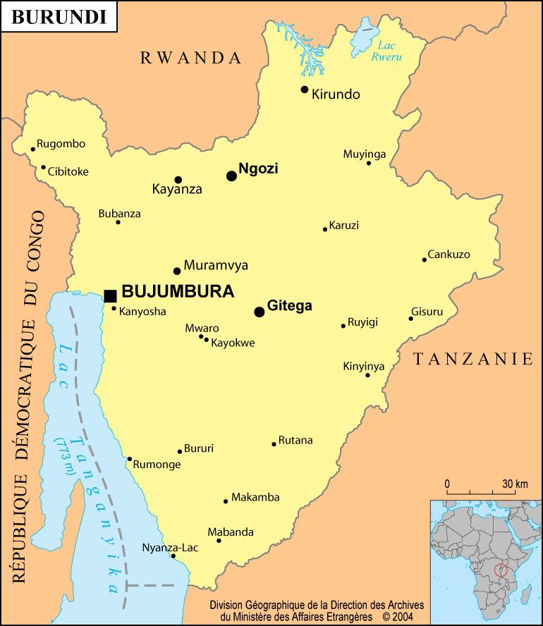
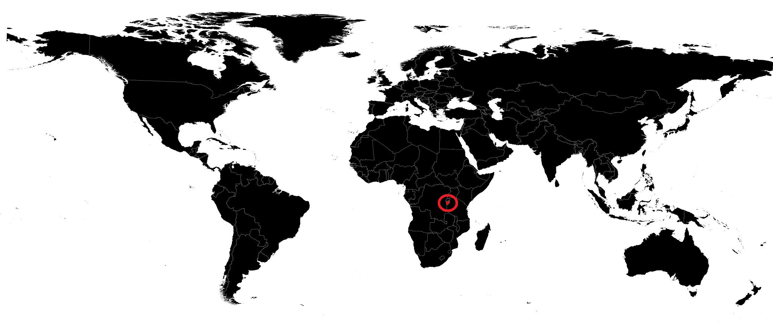
In this article you will find a map of Burundi. The Republic of Burundi is a landlocked country located in the heart of Central Africa. Its area covers 27,830 square kilometers. It is bordered by Rwanda to the north, by the Democratic Republic of the Congo to the west, and by Tanzania to the south and east.
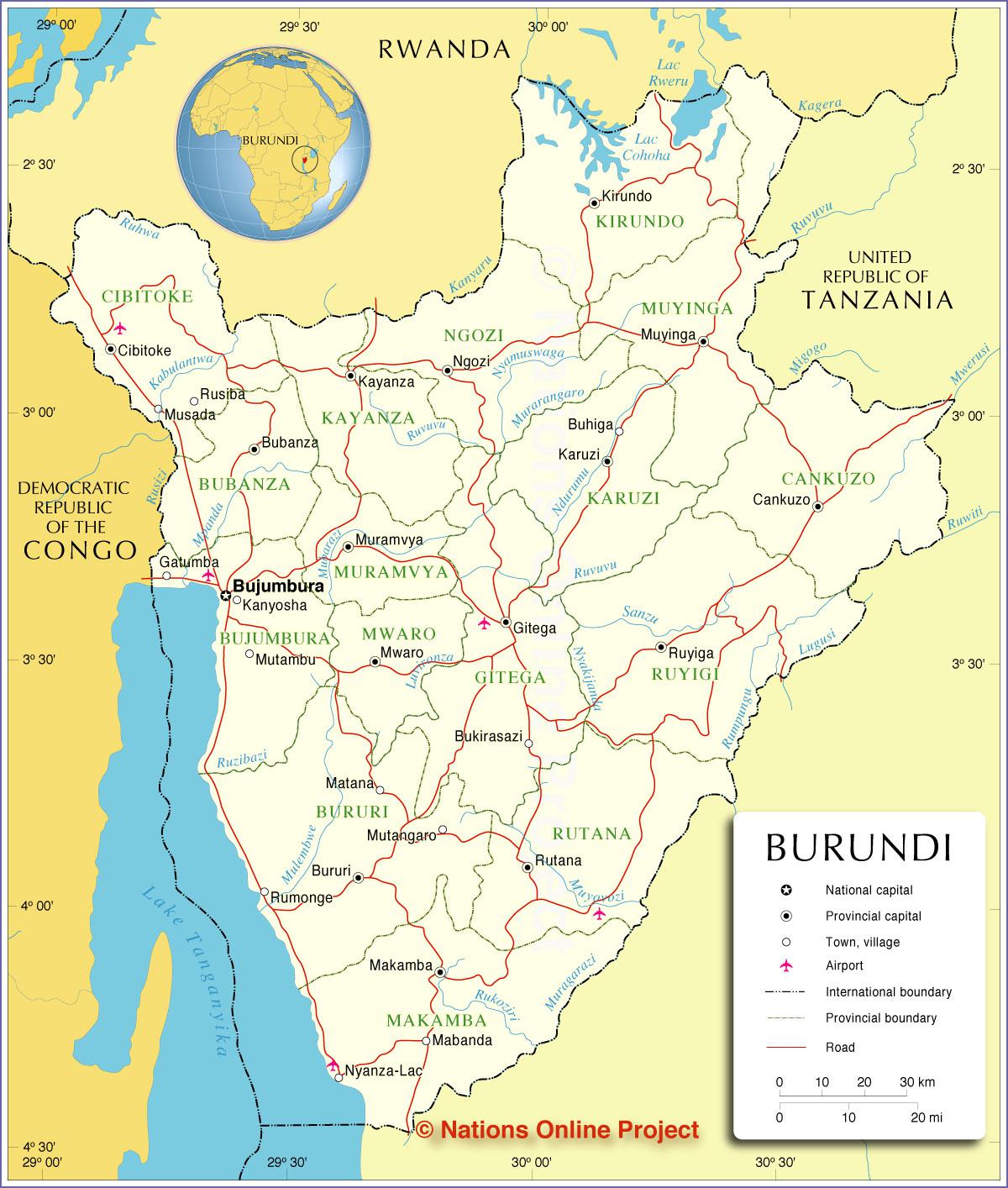
Table of contents
Geography with the map of Burundi
The center of Burundi is mountainous. Mountain slopes enjoy a cooler and wetter climate than the rest of the country and are therefore covered with forests. The river systems of the Congo and the Nile are separated by a north–south mountain chain rising above 2,590 meters in altitude, as seen on the relief map of Burundi.
To the east, altitude gradually decreases toward the Tanzanian border. In contrast, the western slopes are very steep and overlook the Ruzizi River plains, which contain Lake Tanganyika. These plains are part of the East African Rift. Wildlife is very diverse and includes elephants, lions, leopards, hippopotamuses, crocodiles, buffalo, baboons, and antelopes.
Tropical heat is moderated by the high elevations of the mountainous areas. Average temperatures range from 23°C in the Ruzizi River plain to 17°C in the mountainous regions, which also receive annual rainfall between 150 and 180 centimeters.
The river plain receives only about 80 centimeters of rain per year. The dry season extends from June to August and the rainy season lasts from February to May. Burundi is a country with rugged terrain.
Learn more about Burundi
The population practices subsistence farming and raises livestock. With a population density of about 203 people per square kilometer, Burundi is one of the most densely populated countries in Africa. The Hutu people represent about 80% of the population, while the Tutsi account for around 15%. The remaining population includes the Twa, or Batwa, related to the Pygmy peoples.
The Tutsi have traditionally held key positions in the army and government. French and Kirundi are the two official languages, although many inhabitants also speak Swahili. More than half of the population is Catholic.
Coffee is both the leading crop and export. Tea and cotton dominate the rest of commercial crops. Subsistence agriculture also includes beans, cassava, maize, rice, sweet potatoes, peanuts, peas, sorghum, soybeans, sugarcane, and palm oil. The country has some metal deposits. Industrial sites are few and focus mainly on cotton and coffee processing as well as factories producing consumer goods.
Trade is greatly hindered by poor transport and communication infrastructure. However, Burundi is connected to neighboring countries by a road network. Export goods pass through Bujumbura and Kigoma-Ujiji, a Tanzanian port on Lake Tanganyika. Goods are then transported by rail to Dar es Salaam, Tanzania’s main port. The international airport is located in Bujumbura, the capital and largest city of Burundi.
Burundi’s traditional culture is largely oral and includes a vast repertoire of stories, legends, fables, poems, and songs. Traditional Burundian dances are also famous worldwide.
