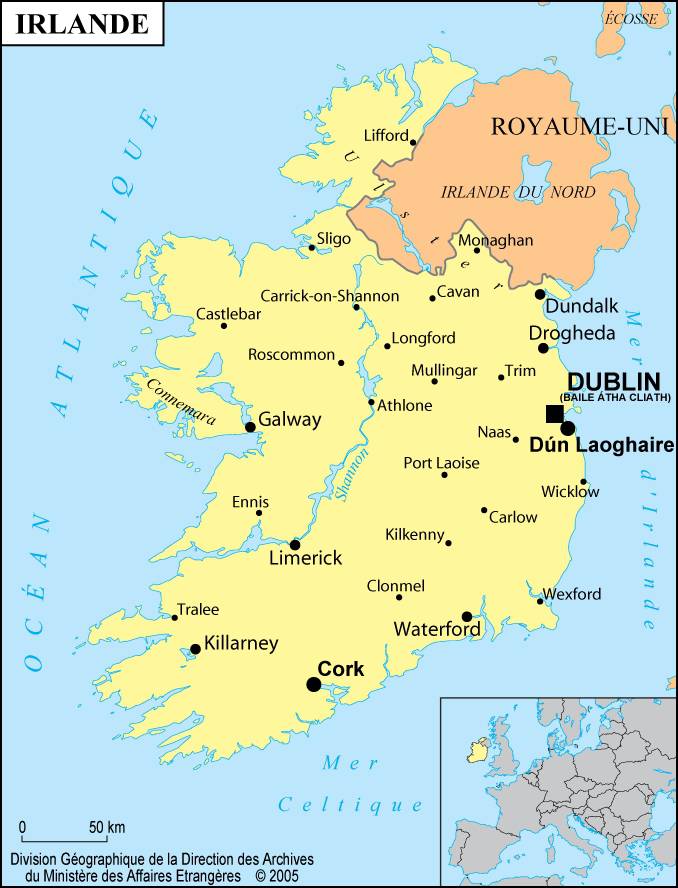
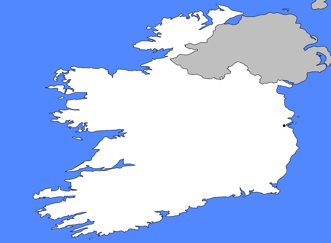
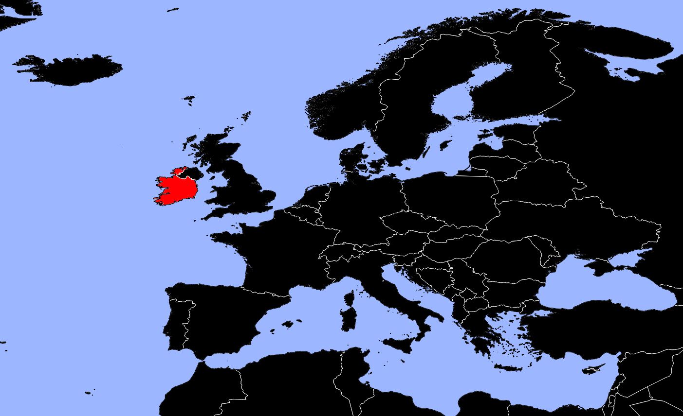
Discover the map of Ireland. The Republic of Ireland occupies about five-sixths of the island of Ireland. It lies opposite Great Britain, across the Irish Sea. The British controlled the region for nearly 750 years. In 1921, they made Southern Ireland a dominion.
These ties with Great Britain were severed when Ireland became a republic in 1949. However, Northern Ireland, which occupies the remainder of the island, remains a political entity of the United Kingdom.
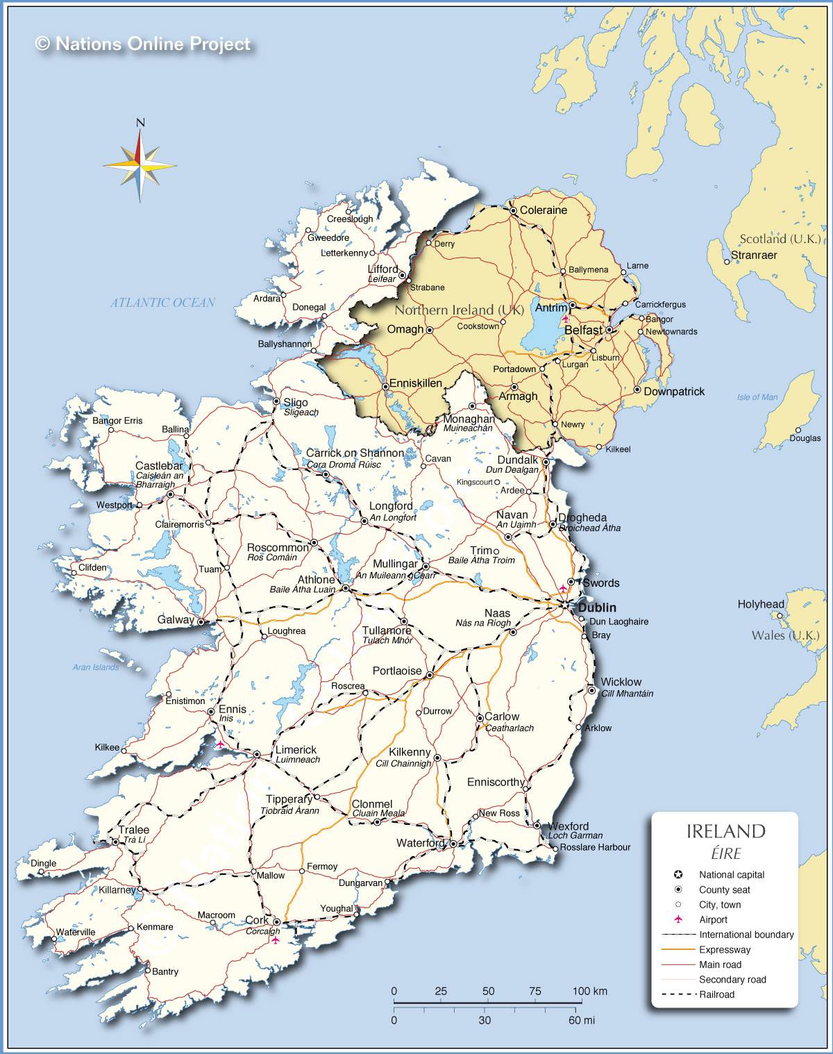
The area of the Republic of Ireland is 70,280 square kilometers, as shown on the map of Ireland. The maximum distances are 440 km from north to south and 300 km from east to west. The Republic of Ireland is made up of four provinces: Leinster, Munster, Connacht, and part of Ulster, which are themselves divided into counties. Six counties of Ulster form Northern Ireland.
Map of Ireland: relief and climate
Most of the country, particularly in the south and west, consists of plains surrounded by low mountains. The map of Ireland below shows the country’s relief to help you better visualize it. The central plain lies less than 150 meters above sea level, while the coastal mountains rise to about 600 meters. The highest point reaches 1,041 meters in the Kerry Mountains in the southwest (Carrauntoohil).
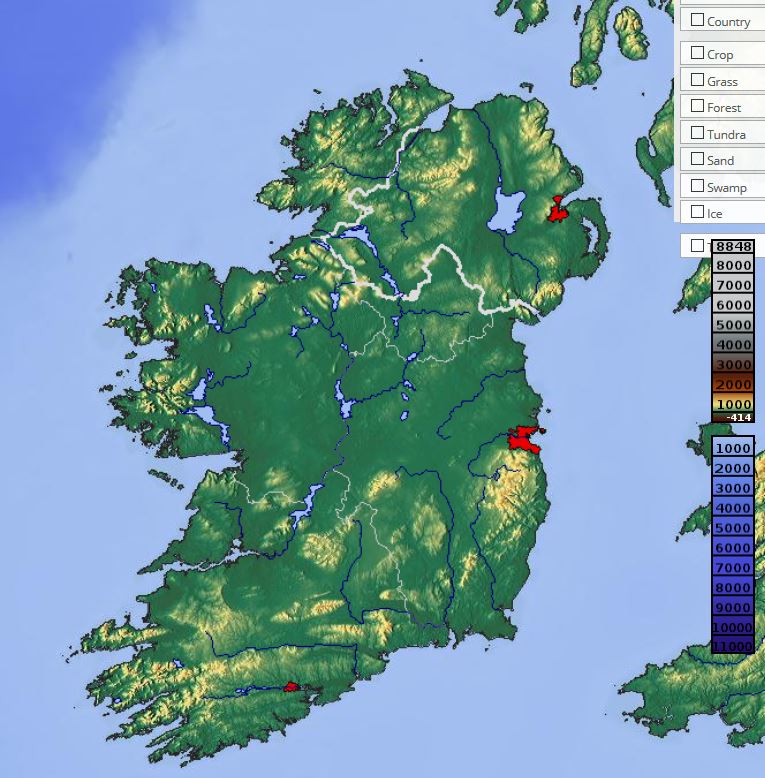
The topography and subsoil are the result of glacial activity. The central plain has glacially formed slopes, and the surrounding mountains were heavily eroded during the Ice Age. Glaciers also carved the Irish coastline into numerous bays and rocky headlands. Rocky islands line the bays of the south and west.
Ireland’s soils are generally not very fertile. They are more productive in the eastern regions, particularly near Dublin. The country is mainly composed of grasslands used for raising cattle and sheep. As can be seen on the map of Ireland below, the south of the country is sunnier.
The maritime climate is moderate, with prevailing southwest winds. These blow over the relatively warm waters of the North Atlantic Ocean, keeping temperatures mild in winter and temperate in summer. Rainfall is frequent and relatively abundant. The peaks of the western mountains receive about 250 cm of rain each year. The driest areas receive around 75 cm. Temperatures average about 5°C during the coldest month (February) and rise to around 15°C during the warmest month (August).
Tourism in Ireland
The tourism industry is an important source of income for Ireland. About 15% of the workforce is directly or indirectly employed in tourism. More than 8 million tourists visit the country each year. Most come from Great Britain, followed by Northern Ireland and the United States.
Many tourists are relatives or friends of the millions of Irish people who have emigrated. An increasing number of visitors are attracted by the relatively low level of commercialization, the fairly affordable travel costs, a good motorway network, charming countryside, historic attractions and, in general, a somewhat wild character.
Discover other maps or other articles about Ireland.
